Download
1 / 81
830 likes | 986 Views
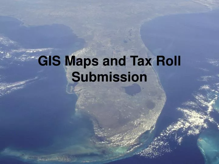
GIS Maps and Tax Roll Submission. GIS Maps and Tax Roll Submission. Exporting A New Shapefile. Florida Department of Revenue. Property Tax Oversight Technology Management. Exporting A New Shapefile.

E N D
GIS Maps and Tax Roll Submission Exporting A New Shapefile
Florida Department of Revenue Property Tax Oversight Technology Management
Exporting A New Shapefile • The following ArcMap procedures have been developed to offer technical assistance to GIS/Mapping staff in Florida property appraiser offices in exporting a properly named shapefile for submission to DOR.
Exporting A New ShapefileObjectives Upon completion of this workshop, the participant will: • Know how to create a folder for DOR GIS data submission • Know how to export a new, properly named, shapefile for submission to DOR • Be familiar with resources for additional assistance in exporting a shapefile
Add a new folder, if you don’t already have one, where you can export a shapefile for DOR to.
Open the source parcel polygon & right click the file name in the Table of Contents.
In the Export Data dialog box, use the same coordinate system as the source data.
…navigate to the folder where you want the new shapefile stored
… replace Export_Output with the name you want to assign to the new shapefile.
When export is complete there will be a prompt if you wish to add the new shapefile to your TOC.Feel free to decline!
Exporting A New Shapefile • Additional information may be found in ArcGIS Help by searching “exporting features”.
GIS Maps and Tax Roll Submission Adding A Field To A Shapefile Attribute Table
Adding A FieldTo A Shapefile • The following ArcMap procedures have been developed to offer technical assistance to GIS/Mapping staff in Florida property appraiser offices in adding a properly named field to a shapefile attribute table for submission to DOR.
Adding A FieldTo A Shapefile - Objectives • Upon completion of this workshop, the participant will: • Know how to add a field named PARCELNO to a shapefile attribute table • Populate the newly added PARCELNO field with the appropriate attributes • Be familiar with resources for additional assistance in working with shapefile attributes
Adding A FieldTo A Shapefile • In this module we will use a shapefile that was exported (saved) in the module “Creating a Shapefile”.
Open the newly created shapefile (F_anycounty_03252011_parcels.shp) in ArcMap.
Click Add. Click
In v. 9.3, click the Options button located at the bottom of the Attribute Table dialog box. “Options” in v. 9.x
In Field Properties, Length, replace 50 (a default value)....
In the Field Calculator dialog box double click the field desired to populate PARCELNO =
Note: this field must contain the number common to the NAL, or tax roll, Parcel_ID
…any field may be deleted by right clicking on any field header and choosing Delete Field.
Adding A FieldTo A Shapefile • Additional information may be found in ArcGIS Help by searching “Adding Fields”.
GIS Maps and Tax Roll Submission Changing Map Projection or Map Units


![Making maps, many maps! [What is GIS?]](https://cdn1.slideserve.com/3592384/making-maps-many-maps-what-is-gis-dt.jpg)