Download
1 / 33
330 likes | 450 Views
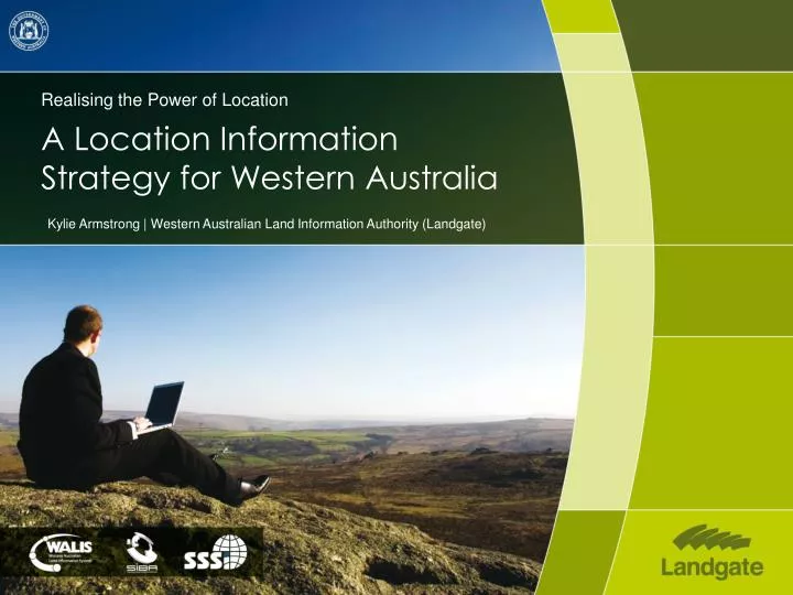
Realising the Power of Location A Location Information Strategy for Western Australia. Kylie Armstrong | Western Australian Land Information Authority (Landgate). A LOCATION INFORMATION STRATEGY FOR WA. The past Why What is it When and how Linking in Nationally. History.

E N D
Realising the Power of Location A Location Information Strategy for Western Australia Kylie Armstrong | Western Australian Land Information Authority (Landgate)
A LOCATION INFORMATION STRATEGY FOR WA • The past • Why • What is it • When and how • Linking in Nationally
History Western Australian Land information System WALIS will be 30 years old this year • Governance • Data sharing policy • Custodianship • Cross Government sharing and projects • Imagery Capture • Emergency Management • Planning
Demographic and Statistical Information Providing Australia wide coverage of census and statistical information through SLIP to assist analysis and improve planning tools.
SLIP Developer Project – Site Planning A tool developed for the education and health sectors. Determines viability of new or existing school or hospital sites by integrating a variety of public sector information and demographics.
KEY CHALLENGES • Sea Level Rise • 1.1m by 2100 • Potential impact • Between 18,000 and 29,000 residential buildings at risk • Replacement value between $5 - $8 billion • Population Growth • Expected to reach 2.2million by 2031 • Infrastructure Pressures • Affordable housing • Access to education • Availability of health services • Drying Climate • Rainfall expected to reduce 2-14% by 2030 • Water • Water run off to decrease between 20 and 30%
OBJECTIVES OF THE LOCATION STRATEGY FOR WA • Goals • Facilitate the State’s growth and sustainable development • Enable better informed government, industry and community decision making • Streamline the capture and maintenance of government data • Foster innovation • Benefits • Direct financial savings • Better decision making • More targeted, efficient services • Greater public participation
STRATEGIC INITIATIVES • Key Strategic initiatives: • Promoting and branding Western Australia - Location WA • Strategic capture of the State’s location information • Enhancing access to location information • Citizen engagement through location technology • Education and career development - embedding location intelligence
LOCATION INFORMATION STRATEGY - MAKING IT REAL! SLIP Managed Components Governance – Collaboration – Innovation – Industry Development – Education and Awareness Raising
STATUTORY APPROVALS TRACKING SYSTEM • A reporting framework that will cater for all lead and approval agencies as well as delivering reporting to proponents; • Benefits • Transparency • Leverages existing systems • Identifies issues in a timely manner • Whole of Government view of the approvals • Streamlines communication between Lead Agencies, Approval Agencies and Proponents
REMOTE INDIGENOUS COMMUNITIES INTEGRATED PLANNING AND DECISION SUPPORT
INTEGRATED DATA MANAGEMENT Volunteer Geographic Information Improved Decision Making • Dynamically updated Online Products • Maps • Data • GIS Analysis Dynamically Updated Map Products TOPO / Carto DB Extensible Well Structured In Built Location Knowledge Products represent a ‘View’of the underlying Data Products represent a ‘View’of the underlying Data WPOL Joined Up Government Location Information Maintenance Trusted Partners (including Direct Shared Editing, Crowd Sourcing , etc) WALIS Members
STREET LEVEL ASSET MANAGEMENT MOBILE MAPPING (SLAMM) • Street Level Imagery with a difference • Measure distance (relative) • Able to place features in the real world • Application • Asset Management (LGAs) • Emergency service (planning and response) • Investigation / Insurance • Quoting / Design • Data capture
HOW IS OUR APPROACH DIFFERENT • Builds on success of WALIS and SLIP
HOW IS OUR APPROACH DIFFERENT • Builds on success of WALIS and SLIP • End user focus
HOW IS OUR APPROACH DIFFERENT • Builds on success of WALIS and SLIP • End user focus • Leadership and Governance • - WALIS • - Lead Agency
Landgate Innovation HOW IS OUR APPROACH DIFFERENT • Builds on success of WALIS and SLIP • End user focus • Leadership and Governance • - WALIS • - Lead Agency • Innovation
HOW IS OUR APPROACH DIFFERENT • Builds on success of WALIS and SLIP • End user focus • Leadership and Governance • - WALIS • - Lead Agency • Innovation • Industry Engagement
Australia New Zealand Market Place ANZSM will provide a marketplace for all spatial resources in Australia and New Zealand allow easy publishing and distribution allow easy discovery allow easy access enable suppliers and users to transact with confidence provide the spatial resources to spatially enable any information
HOW IS OUR APPROACH DIFFERENT • Builds on success of WALIS and SLIP • End user focus • Leadership and Governance • - WALIS • - Lead Agency • Innovation • Industry Engagement • . National Linkages • Next Steps • Finalise program implementation framework • Cabinet consideration Q1 2011
Contact For More Information Kylie Armstrong Program Director Co-operative Research Centre For Spatial Information Kylie.Armstrong@langate.wa.gov.au