Download
1 / 21
350 likes | 815 Views
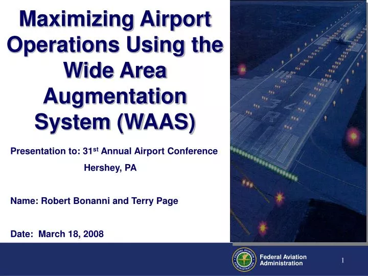
Maximizing Airport Operations Using the Wide Area Augmentation System (WAAS). Presentation to: 31 st Annual Airport Conference Hershey, PA Name: Robert Bonanni and Terry Page Date: March 18, 2008. National Airspace System. System Capacity

E N D
Maximizing Airport Operations Using the Wide Area Augmentation System(WAAS) Presentation to: 31st Annual Airport Conference Hershey, PA Name: Robert Bonanni and Terry Page Date: March 18, 2008
National Airspace System System Capacity During peak periods up to 6000 aircraft operate in the NAS!
What does Satellite Navigation (WAAS) Bring to Airports? • Increase Safety • Continuous Descent Procedures reduce CFIT/ALA • Improved Pilot/Controller Situational Awareness • Greater Capacity • All Weather Operations • Reduced lateral separation • Precise arrival, approach, and departure procedures • Parallel Routing • Flexible Routing / Improved Re-routing capabilities • No navigational equipment on the airport • No critical area protection required • Near Precision approach capability to appropriate runways
How Low Can We Go? The lowest approach and departure minimums may be achieved where the obstacle environment is benign and the airport infrastructure requirements of AC 150/5340-1, “Marking of Paved Areas on Airports”, and AC 150/5300-13, “Airport Design” are met.
How Do We Decide How Low To Go? • Determine based on level of visibility the airport requires … not every airport needs the lowest visibility • LPV approaches are defined as APV approaches, so typicallyTable A16-1B Airport Infrastructure applies. • Parallel Taxiways are required for an instrument procedure with less than 1 statue mile visibility
What about approach lights? • Table A16-1B states they are a required element for visibilities less than 1 SM … except for LPV (Note 11) • For LPV based approach minima to as low as ¾ SM, lights are recommended not required
07-02-6 Approach Lighting Systems (ALS) on Runways with LPV Approaches SOAR Code: SP/RW/VI • An ALS is technically eligible if the project has a passing Benefit Cost Analysis (BCA). • The BCA must include all of the costs to meet the increased design standards for the lower visibility minimums, plus the cost of airport maintenance of the ALS for a 10-year period. • Regions and ADOs may not program an ALS for LPV-approach runways for AIP funding unless the airport has presented a passing Benefit Cost Analysis that has been accepted by FAA.
AIP Eligibility (continued) • If an airport is contemplating starting a Benefit Cost Analysis, contact ADO/Region. The process will follow the general format that is used for an ILS installation. The costs will be balanced against the economic benefit of the airport being able to handle arrivals in the incremental minimums gained with the installation of an ALS. • While an AIP grant may not be issued for preparation of a BCA, the cost of preparing the BCA is an allowable cost to an ALS project if an ALS project is programmed. • An airport may propose installing an ALS without taking the reduction in minimums that could be gained in order to avoid having to meet approach clearing, obstruction or dimensional standards. In that instance, the installation is not eligible for AIP funding.
Approach Lighting • To achieve lower visibility minimums based on credit for lighting, a TERPS specified approach light system is required. • Approach Lighting Systems • MALSR, SSALR, ALSF < ¾ SM • ODALS, MALS, SSALS < 1 SM
LPV Approaches to 200 foot DA • LPV approaches to a Decision Altitude of 200 feet are authorized where the appropriate ILS infrastructure is in place. • At locations where the proposed procedure would not be an overlay of an ILS, the requirements of Appendix 16, Table 16-1A must be met • Precision Infrastructure for a 200 foot DA
How does the Airport Environment affect the Minimums? • Obstacle Free Zones • Glidepath Qualification Surface (GQS) • Runway Lighting and Markings • Taxiway Considerations • Airport Surveys
Obstacle Free Zones If an obstacle penetrates either the airport obstacle free zones (Runway, Inner Approach OFZ) or the Precision Object Free Zone (POFZ) : • The LOWEST minimums are 300 ft HATh and ¾ mile visibility. • Visibility credit for lights is not authorized for OFZ penetrations Plan View Profile View FAAO 8260.3, V 3, PAR 2.11 - 4.2 IL PG 46
Glidepath Qualification Surface • The GQS applies to approach procedures providing vertical path guidance. • It limits the magnitude of penetration of the obstruction clearance surfaces overlying the final approach course. • The intent is to provide a descent path from DA to landing free of obstructions that could destabilize the established glidepath angle.
Glidepath Qualification Surface • . The GQS is centered on a course from the DA point to the runway threshold. • If the GQS is penetrated, vertical guidance instrument approach procedures (ILS/MLS/WAAS/LAAS/Baro-VNAV) are not authorized
Runway Edge Lights • Required for night minimums • High intensity lights are required for RVR-based minimums.
Runway Markings and Signs • Precision markings are required when the expected visibility is less than ¾ SM • However, we highly recommend meeting the precision requirements when the expected visibility is less than 1 SM • Non-precision markings are required for visibilities greater than 1 SM
Parallel Taxiway • Required when the expected visibility is less than 1 SM • Parallel taxiway MUST go to the end
Airport Surveys … What is required? • The Airports-GIS program is required for all FAA funded surveys including: • Airport Planning and Design Activities • ALP updates • Airport Master Plans • Environmental and Noise Analysis • Airspace evaluation (obstructions to navigable airspace) • Airport Operating Area (AOA) construction activities (i.e. runway/taxiway) • NAVAID installation/relocation • Instrument procedure obstruction data • Guidance is published in AC 150/5300-16/17/18 • Recommended for all public use airports • Encouraged and available for all airports including private
How are approach minimums computed? • Altitude Element • Height Above Threshold (HATh) • Height Above Airport (HAA) • Glidepath Angle • Visibility Element • HATh • Distance from Navigational Facility (1 mile for satellite approaches) • Distance Missed Approach Point (MAPt)/Decision Altitude (DA) from runway threshold (RWT) • Glidepath Angle
Questions about Airport Airspace Issues? Direct questions to your local Airports District/Regional Office or National Representative Robert Bonanni, P.E. National Resource Engineer for Airport and Airspace Issues 202.267.8761 or robert.bonanni@faa.gov