Download
1 / 67
670 likes | 821 Views
Atlas: The Louisiana Statewide GIS. Farrell Jones Systems Manager LSU CADGIS Research Laboratory. The Mission of Atlas. To promote the sharing of GIS and mapping information about the state of Louisiana. Where to find Atlas. http://atlas.lsu.edu. The Four Components of Atlas.

E N D
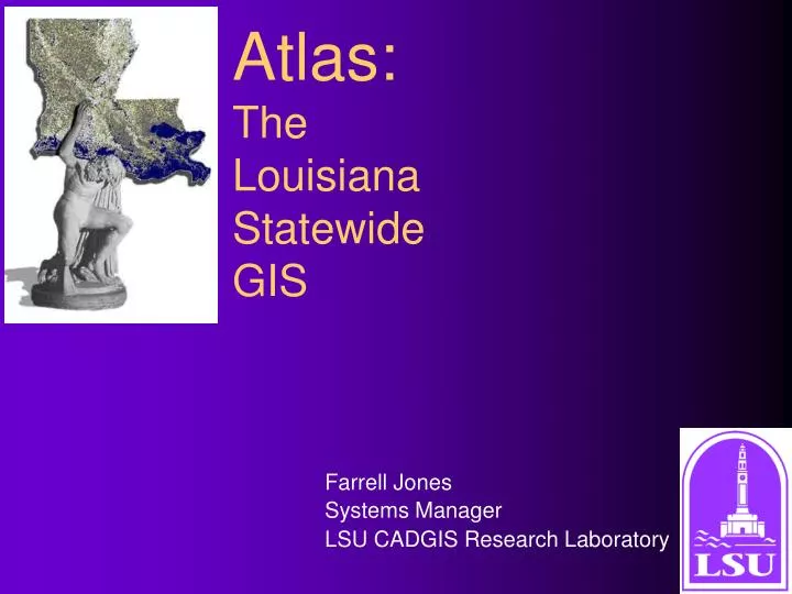
Atlas: The Louisiana Statewide GIS Farrell Jones Systems Manager LSU CADGIS Research Laboratory
The Mission of Atlas To promote the sharing of GIS and mapping information about the state of Louisiana
Where to find Atlas http://atlas.lsu.edu
The Four Componentsof Atlas Use Raster Downloaders Search Atlas Atlas Central Take a Satellite Tour of Louisiana
The Raster Downloaders • DOQQ images • 1:24,000 Scanned Topographic Maps • 1:100,000 Scanned Topographic Maps • 1:250,000 Scanned Topographic Maps
Raster Downloaders:The DOQQ Downloader The DOQQ Downloader
What is a DOQQ? • DOQQ stands for Digital Orthophotographic Quarter Quadrangle • It is a color infrared aerial photograph of a section of the earth • It covers an area approximately 4 miles by 4.5 miles • Each DOQQ covers one quadrant of a 7.5’ topographic map
The Atlas home page has a link to help first time users with DOQQs
Raster Downloaders:The DOQQ Downloader • Each DOQQ image is stored in the MrSid format • Each DOQQ image has a MrSid world file for correct placement • Metadata is included with the DOQQ • The image, world file, metadata, and a coordinate system file are bundled together as a Winzip archive.
The MrSid File Format • Each DOQQ image is stored in the MrSid format • Most GIS can display and place MrSid files • A MrSid viewer is available from LizardTech
The MrSid Viewer The viewer is downloadable from the LizardTech site at http://www.lizardtech.com
TIP!!! The MrSid viewer can convert a MrSid image into the TIF format
What is a DRG? • DRG stands for Digital Raster Graphics • A DRG is a scanned image of a USGS topographic map
Raster Downloaders:The DRG Downloaders • Each DRG image is stored in the GeoTIF format • Some DRG images have a world file • The DRG images are NOT trimmed • The image file and the world file (if present) are bundled together as a Winzip archive.
The GeoTIF Format • Each DRG on Atlas is stored in the GeoTIF format • GeoTIF is an extension of the TIF format for graphics • Most GIS can display and place GeoTIF files • Graphic programs such as Adobe Photoshop can display GeoTIF files
TIP!!! Nice maps can be made with DRG GeoTIFFs of and a graphics program such as Adobe Photoshop.
Winzip A thirty day demostration version of Winzip is downloadable at http://www.winzip.com
The Index Map • The index map is a CGM file generated by Geomedia Webmap and downloaded by the client’s browser • An Internet Explorer ActiveX control or Netscape plugin is needed for the CGM file to work correctly • The control and plugin only work for Windows; Macintoshes and Unix will have a JPG substituted for the CGM file
CGM Files • CGM stands for Computer Graphics Metafile • The CGM file is generated by Geomedia Webmap on the server
The Index Map (cont.) • Atlas will automatically download the ActiveX control when it detects IE running on Windows on the client machine • Netscape users must download the plugin for Netscape, exit Netscape, install the plugin, and restart Netscape The Atlas home page has a link to help first time webmap users with the control and the plugin
The Atlas home page has a link to help first time webmap users with the control and the plugin
Using the Downloader Index Map • Clicking on a parish zooms to the parish • Clicking on a quadrangle* or DOQQ displays its database record • Moving over a parish or a quadrangle displays a tool tip
Using the Downloader Index Map Use these buttons to • zoom in and out • pan left and right • pan up and down
Using the Downloader Index Map (cont.) • Clicking the List Button will list the database records for all visible in the map • Clicking the Louisiana button fits the index map to its wide view of the state
Using the Downloader Database Clicking on the name of a DOQQ or quadrangle zooms the map to that item
Using the Downloader Database • Clicking on the center button centers the map on that item without changing map scale • Clicking on the download button downloads the Winzip archive file
Using the Downloader Database (cont.) • Select the attribute to search upon, give the value of the attribute, and click SUBMIT • Use an * to perform wildcard searches • Case does not matter but spaces do!
Jumping Between Downloaders • Use the links across the top of the downloaders to “jump” between downloaders • Jumping causes the new downloader to view the same area as the previous downloader
TIP!!! Do not piece together numerous 7.5’ quadrangles for mapping large areas. Instead, use the 1:100,000 scale or 1:250,000 scale quadrangles.
Search Atlas The “Search Atlas” component allows for the searching of maps by area or by attribute
Search Atlas The Area Search allows a user to search for maps for a parish, a 1:100,000 scale tile, a 1:250,000 scale tile, or statewide
Search Atlas The Area Search also displays an index map from which to select
Search Atlas Results By specifying an area through the pulldown field or on the map and the clicking the Search Button, Atlas displays the database records for the specified area
Search Atlas The Attribute Search allows a user to search for maps of a specified theme and/or format
Search Atlas Themes • Biological • Environmental • Geophysical • Reference • Socio-Economic • Collection (multi-themed) • Miscellaneous • all themes
Search Atlas Formats • Arc/Info Export • ArcView Shapefiles • DEM • ERDAS IMG • Geomedia Access • GeoTIFF • Intergraph COT • MicroStation DGN • MrSid • TIFF
Search Results • Clicking on a map name downloads the archive for the map • Click on the theme of a map displays a legend describing “themes” • Click on the “C” displays all maps in the same collection