Download
1 / 9

E N D
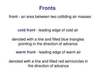
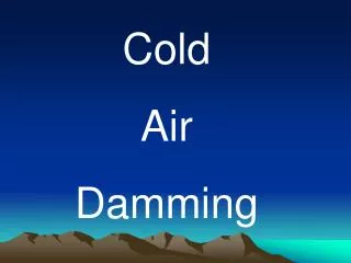
Low Level Cold Air One factor often overlooked during a heavy snow event, even when the event is going full throttle, is the amount of low level cold air. Philadelphia is a major boundary area due to its proximity to the Atlantic Ocean, Gulf Stream Current, and Appalachian Mountains. Thus, even if an arctic high pressure is in perfect position, the precipitation can still change to sleet, freezing rain, snow pellets, or rain. Thus, temperatures throughout all layers of the troposphere need to be analyzed in real time and by using numerical model guidance. Click here for local data from upper air soundings
Forecast Sounding at DCA “Looks like sleet or freezing rain mixed with snow. Warm layer about 125 mb thick, about +2 C at the highest.” -TerpEast-
Forecast Sounding at IAD “Probably still snow, maybe sleet mixed in. Warm layer about 75 mb thick, +1 C at the highest. There might be a bit of drying between 400 and 550 hPa, so it could be a dry slot and it might be freezing drizzle mixed with snow without the dendritic growth layer.”
Precipitation Type First, the forecaster must determine what type of precipitation is expected. Use Table I as a guide to determine whether you will have liquid or frozen precipitation. In addition, you can also use the Freezing Drizzle vs. Snow Checklist (Table II) developed by Headquarters Air Weather Service, Technology Training Division at Scott AFB, IL (1996). It will help you determine whether to forecast freezing or frozenprecipitation.
Predicting Moderate and Heavy Snow If you think the weather situation has the possibility of moderate or heavy snow, continue with Table V. This table has specific parameters and features to look for at mandatory levels from the surface all the way up to 200 mb. This information was gathered from a multitude of sources, the bulk of which came from McNulty (1991), Terry (1995), and Weber (1979). Other sources came from academicians such as Djuric (1994), Moore (1989), and Ucccellini (1990). With winter weather lasting 3 or 4 months in most locations, forecasters tend to forget what to look for at various levels. The following information will ease that memory loss, and allow operational forecasters quick and easy reference, to better forecast major snowstorms.