Download
1 / 36
360 likes | 462 Views
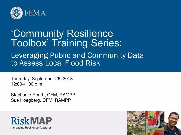
‘Community Resilience Toolbox’ Training Series: Leveraging Public and Community Data to Assess Local Flood Risk. Thursday, September 26, 2013 12:00–1:00 p.m. Stephanie Routh, CFM, RAMPP Sue Hoegberg, CFM, RAMPP. Before We Get Started.

E N D
‘Community Resilience Toolbox’ Training Series:Leveraging Public and Community Data to Assess Local Flood Risk Thursday, September 26, 2013 12:00–1:00 p.m. Stephanie Routh, CFM, RAMPP Sue Hoegberg, CFM, RAMPP
Before We Get Started • Please mute your phone until the Question/Answer section at the end of the presentation • Do not place us on hold! • After the presentation, please fill out our short webinar evaluation form at http://bit.ly/193sERw • To receive CFM CECs, please complete the evaluation form! • Maine participants: Please complete the evaluation form to get credit for state Land Use certification • Presentations will be made available at www.rampp-team.com
Community Resilience Toolbox Training Series Overview The first in a 3-part series focusing on steps 2 through 4 of the Risk MAP Program cycle Goal: To empower community officials taking action to reduce flood risk by providing tools and examples to improve the resiliency of their communities
Community Resilience Toolbox Webinar Series Session 1 (Today)Leveraging Public and Community Data to Assess Local Flood Risk Session 2 (October 3)Low Investment Strategies for Flood Risk Communication Session 3 (October 9)Reducing Flood Risk Through Mitigation Strategies
Today’s Session Leveraging Public and Community Data to Assess Local Flood Risk Learning Objectives • Recognize available flood hazard data and information resources and understand their use in risk assessment • Leverage existing information to increase risk awareness and drive mitigation action
POLL #1 Use the Adobe Connect interface to respond to this poll
Understanding Risk RISK = HAZARD x LIKELIHOOD x CONSEQUENCE Just a few inches of water can cost tens of thousands of dollars in damage.
Which Hazard is Represented? FEMA’s flood risk maps represent the combined effects of flood hazards. • Riverine Flooding • Levee Analysis • Alluvial Fans • Wave Run-Up • Storm Surge • Coastal Flooding
Where are FEMA’s Data? This may be your first choice for FEMA data and information. But is this your only resource? Web interface and Google Earth
Recent/Upcoming Updates to the FEMA Map Service Center • Preliminary Flood Insurance Rate Maps (FIRMs) and data now available • Updated National Flood Hazard Layer (NFHL) viewing options • NFHL Download by County or State from MSC at No Charge • Enhancement of GIS Web services (e.g., WMS, REST)
Flood Hazard Data Quickly identify counties with modernized Flood Hazard Data. Zoom in for more detail.
Non-FEMA Data Sources • Augment FIRM and extended data sets • National and State Standard Operating Procedures list numerous national/local data sources • Local community data • Data for purchase
POLL #2 Use the Adobe Connect interface to respond to this poll
How do these datasets help you understand risk? FEMA Flood Risk Datasets: Non-Regulatory Products
Understanding Risk How do these data benefit a community? • Identify and prioritize mitigation actions/projects • Help visually communicate flood risk to the public and stakeholder groups • Inform development decisions and community planning • Provide advanced recovery planning and disaster preparedness tools • Assist communities in the development and update of local hazard mitigation plans
Changes: Before and After • Community notifications for flood hazard zone change • Focusing on areas that may be impacted by insurance rate changes Change Layer Change Type: None No Previous Study FW Decrease FW Increase SFHA Decrease SFHA Increase Zone Change
Changes: Before and After Summarize the content in different ways—doesn’t always need to be a map
Flood Depth Grids: The Basic Product Each grid cell has a unique value FIRM 1% Annual Chance Flood Hazard Area 1% Annual Chance Depth Grid Individual Grid Cell New Risk MAP products show depths for 10, 2, 1, and 0.2% annual chance flood hazards. Depths and horizontal spatial extents.
Understanding Risk: Loss 1% Annual Chance Risk • Hazus is free software from FEMA and runs within ESRI software • Direct and Indirect Economic Loss Estimation tool for flood, earthquake, and hurricane winds • Has components for disaster response in estimating debris and shelter needs as well as recovery duration A $1.3 Million B $2.4 Million
Understanding Risk: Rebuilding Use all available data sources to allow homeowners to make informed rebuilding decisions after a disaster Advisory BFE Web Services Leveraged by Rockland County, NY
Available Online Services/Products FEMA GIS Services https://hazards.fema.gov/femaportal/wps/portal/NFHLWMS FEMA GeoPlatform http://fema.maps.arcgis.com/home/index.html MIP Tools and Links (Includes Non-FEMA Data Resources) https://hazards.fema.gov/femaportal/wps/portal FEMA Map Service Center https://msc.fema.gov HazusSoftware http://www.fema.gov/hazus-software U.S. Census Bureau Emergency Management tool http://onthemap.ces.census.gov/em.html Publications available online through FEMA Document Library NFHL GIS Services User Guide User Guidance for Flood Risk Datasets and Products
Extended Learning Opportunities Training Resources: • Emergency Management Institute (EMI) • ESRI Virtual Campus • Regional Cooperating Technical Partner (CTP) Training • State NFIP Coordinator / State Hazard Mitigation Officer (SHMO) • Risk MAP University
Summary How can FEMA data benefit your community? • Understand where the greatest risks occur in the community • Identify target areas for mitigation projects • Help homeowners anticipate changes to their flood insurance policy premiums • Improve outreach and risk communication efforts • Develop or update community hazard mitigation plans • Receive Community Rating System (CRS) credit
Community Resilience Toolbox Upcoming Training: Low Investment Strategies for Flood Risk Communication October 3, 2013 12:00 p.m. Eastern 11:00 a.m. Central 9:00 a.m. Pacific Reducing Flood Risk Through Mitigation Strategies October 9, 2013 12:00 p.m. Eastern 11:00 a.m. Central 9:00 a.m. Pacific
Paul Huang, FEMA Paul.Huang@fema.dhs.gov Scott McAfee, FEMA Scott.Mcafee@fema.dhs.gov Stephanie Routh, CFM SRouth@dewberry.com Sue Hoegberg, CFM SHoegberg@dewberry.com Contacts
POLL #3 Use the Adobe Connect interface to respond to this poll