Download
1 / 12
120 likes | 233 Views
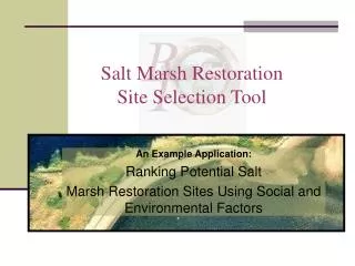
Seagrass Site Selection Tool. An Example Scenario: Finding Fisheries-Friendly Options for Eelgrass Restoration. Seagrass Site Selection Tool. An Example Scenario: Finding Fisheries-Friendly Options for Eelgrass Restoration.

E N D
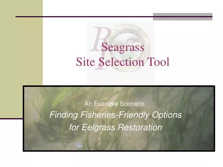
Seagrass Site Selection Tool An Example Scenario: Finding Fisheries-Friendly Options for Eelgrass Restoration
Seagrass Site Selection Tool An Example Scenario:Finding Fisheries-Friendly Options for Eelgrass Restoration The following slides demonstrate an example of how the tool can assist Rhode Island restoration planners find restoration opportunities that may • Have environmental conditions that are conducive for eelgrass survival and growth • Be protected from disturbance by fishing activities • Enhance the habitat value of impaired shellfish beds Note: this is only an example scenario to demonstrate how the tool works. These criteria are not representative of all considerations used in selecting eelgrass restoration sites.
Seagrass Site Selection Tool An Example Scenario:Finding Fisheries-Friendly Options for Eelgrass Restoration In order to meet these goals, this example scenario will focus on potential projects that may be “fisheries-friendly” • Located in areas having • suitable depth, light, and temperature conditions • a historical presence of eelgrass (survival & growth) • Away from commercial trawling and shellfishing activities (outside fishing areas) • Inside shellfish closure areas (benefit impaired shellfish habitat)
Seagrass Site Selection Tool Step 1 – Load the Data: The tool uses data layers (grids) for depth, light, presence/absence of eelgrass, historic distribution, and sea surface temperature scored according the Narragansett Bay transplant suitability method developed by Save The Bay and University of Rhode Island researchers.
Seagrass Site Selection Tool Step 2 – Calculate Transplant Suitability: The tool then calculates and creates a suitability data layer by multiplying the scores from the five data sets.
Seagrass Site Selection Tool View suitability results in your region of interest: The user can then zoom in to view an area of interest and explore the suitability results.
Seagrass Site Selection Tool Step 3a – Prioritize Suitable Sites: Next, the user can select socioeconomic factors to find shellfish closure areas…
Seagrass Site Selection Tool Step 3b – Prioritize Suitable Sites: …and avoid trawling and shellfishing areas.
Seagrass Site Selection Tool Output – View prioritized results: Based on these example criteria, the tool identifies areas in upper Narragansett Bay that may be “fisheries-friendly” restoration options.
Seagrass Site Selection Tool Output – Examine the results with other data: The suitability output should always be examined in the context of local water quality conditions. Other data can be viewed with the output.
The tool lets you include new data in the analysis. This will help to keep the suitability results up-to-date. Seagrass Site Selection Tool Output – Keep the results up-to-date: As new data become available (such as current eelgrass distributions), they can be loaded into the tool.
Seagrass Site Selection Tool Using the tool for planning The tool can assist with restoration planning by • Prioritizing areas with suitable water depth and temperature, light conditions, and current and historical eelgrass distributions • Providing access to state-wide data sets for calculating and viewing suitability results with other relevant data layers (e.g., commercial fishing areas, shellfish closure areas) • Providing the option to consider socioeconomic factors The tool results serve as a startingpoint for pursuing site-specific information, gathering expert opinion, and assessing restoration feasibility.