Download
1 / 19
330 likes | 789 Views
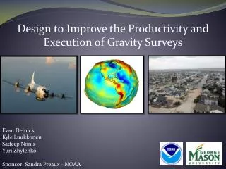
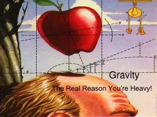
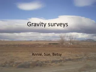
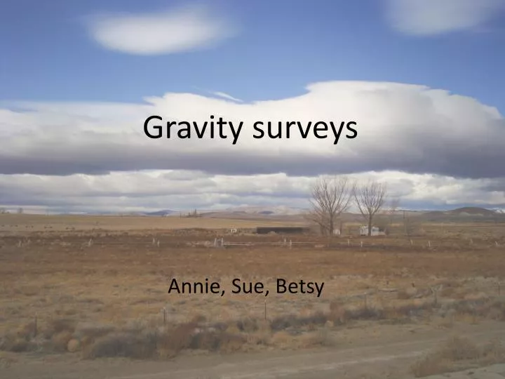
Gravity surveys. Annie, Sue, Betsy. Regional location. Bango Road canal bank. Reno Highway. Carson Highway. V-line canal bank. Theodolite. Measures horizontal & vertical angle relative to known point (north)

E N D
Gravity surveys Annie, Sue, Betsy
Regional location Bango Road canal bank Reno Highway Carson Highway V-line canal bank
Theodolite • Measures horizontal & vertical angle relative to known point (north) • Measures horizontal & vertical offset between survey point and instrument location • Linked to Earth using one GPS point • Data used to obtain latitude, longitude, elevation Photo by Dr. Louie
Gravimeter • Lacoste-Romberg G-509 gravimeter • Must be level to get accurate reading • UNR base station measured in AM & PM • Field base station measured every 3 hrs • 0.05 mGal instrument accuracy Photo by Dr. Louie
Terrain correction • Zone B: 4 sectors • radius: 6.56 – 54.6 ft • Zone C: 6 sectors • radius: 54.6 – 175 ft • Elevation difference estimated for each sector • Positive number added to SBA Photo by Dr. Louie 8 ft +0.0267 mGal From Telford et al., 1990
Density determination Must determine appropriate earth density Nettleton (1942) method • Gravity survey over hill • Determine gravity anomalies for different densities • Plot these versus distance • Plot elevation vs. distance • Choose curve with minimum correlation with topography Average crustal density = 2.67 g/cc (LaFehr, 1991) However, we can be more accurate! Example gravity profile, density = 2.4 g/cc
Density determination, cont’d 2.5 g/cc is the most appropriate density to use 2.5 g/cc
Calculating Bouguer Anomalies instrument reading drift correction Free Air anomaly Bouguer anomaly Simple Bouguer Anomaly + + + = instrument reading drift correction Free Air anomaly Bouguer anomaly terrain correction Complete Bouguer Anomaly + + + + =
V-line gravity survey March 17, 2009 North • 32 stations • 4 m spacing • Along canal bank • Down hill at ends V-line canal stations surveyed using theodolite Photo by Dr. Louie
Preliminary plot Note: correlation with elevation
V-line canal bank • Small anomalies due to user error • Gradation from high to low along canal bank • Gravity high in valley Plot generated by Laura Huebner using Geosoft
Discussion of V-line results • Localized anomalies • we had many people use the gravimeter • SW --> NE • Decreased compaction • Dryer sediments • Higher gravity in valley due to compacted, natural sediment
V-line conclusions • Despite local anomalies, high confidence in general decreasing SBA trend • Trees near higher SBA values • Increased water raises SBA • Increased water accounts for vegetation • Compromised canal bank? • Overall, low confidence in results • small range in SBA (0.368 mGal) • enormous error • Terrain corrections (0.1 mGal) • Multiple user error (0.03 mGal) • Instrument error (0.05 mGal)
Bango Road gravity survey March 18, 2009 North stations surveyed using theodolite terrain corrections for zones A, B, C • 13 stations • 15 m spacing • Along canal bank Note: slight offset in angle due to theodolite error
Preliminary plot Note: correlation with elevation
Bango Road canal bank • Gravity low in sediment fill at lower elevations • Gravity high at top of hill Plot generated by Laura Huebner using Geosoft
Discussion of Bango Road results • SBA follows geology • Gravel comprises lower elevations • Competent basalt comprises higher elevations
Bango Road conclusions • Relatively lower error, though still high • Instrument error (0.05 mGal) • Multiple user error (0.02 mGal) • Terrain correction error (0.2 mGal) • SBA range of 0.824 mGal • High confidence in relative profile • Gravity high over basalt • Gravity low over sediments • No apparent seepage through canal bank
References • LaFehr, T.R., 1991, Standardization in gravity reduction: Geophysics, v. 57, p. 1170-1178.s • Nettleton, L.L., 1942, Determination of density for reduction of gravimeter observations: Geophysics, v. 4, p. 176-183. • Telford, W.M., Geldart, L.P, Sheriff, R.E, 1990, Applied Geophysics, Second Edition, Cambridge University Press: Cambridge.