Download
1 / 11
110 likes | 199 Views
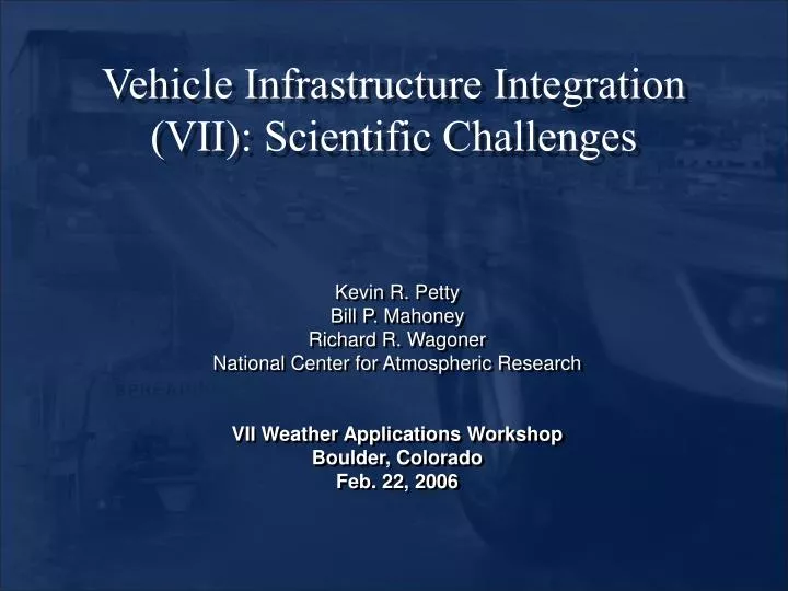
Vehicle Infrastructure Integration (VII): Scientific Challenges. Kevin R. Petty Bill P. Mahoney Richard R. Wagoner National Center for Atmospheric Research VII Weather Applications Workshop Boulder, Colorado Feb. 22, 2006. Vehicle Infrastructure Integration (VII).

E N D
Vehicle Infrastructure Integration(VII): Scientific Challenges Kevin R. Petty Bill P. Mahoney Richard R. Wagoner National Center for Atmospheric Research VII Weather Applications Workshop Boulder, Colorado Feb. 22, 2006
Vehicle Infrastructure Integration(VII) BENEFIT: VII enables tactical and strategic response to weather related surface transportation hazards. Highs, Lows, Fronts Synoptic Scale Nor’easters Hurricanes, tropical storms Thunderstorms Mesoscale Tornadoes Microscale Black ice, Fog
VII Weather Application Development: Expected Challenges • Data comprehension • Data quality and accuracy • Data volume • Spatial distribution • Complex terrain • Data fusion • Quality checking Algorithm and Concept Development
Data Quality and Accuracy • Sensor placement • is likely to result in variability in certain • parameters (e.g. temperature, rain, sun)
Data Quality and Accuracy • Sensor type can also lead to differences in measured parameters: • Range • Data type • Precision • Resolution • Accuracy • Account for biases • Vehicle knowledge • Privacy • Rain Sensor Suppliers: • Bosch • Denso • Kostal • TRW • Valeo Thermister Thermocouple
Data Volume • Determine how to utilize large amounts of data 38°F Wipers=on/high • Averaging • Over distance • Over time • Equivalent to a point measurement • (replicating ASOS) 28°F 36°F Wipers=off Wipers=on/low 35°F Wipers=off
Urban Versus Rural Environments A major challenge exists in terms of rural regions. How do we create applications that work equally well in urban and rural environments? 38°F Wipers=on/high 28°F 36°F Wipers=off Wipers=on/low • Regional car types 35°F Wipers=off
Urban Versus Rural Coverage Population Centers Snow/Ice Light rain Thunderstorms Heavy rainTornadoes Dust stormsFog
Complex Terrain • Data variations • Elevation • Terrain separation • Quality checking
Data fusion 6 mins./10 mins. • Disparate Data • Processing time • Algorithm initiation intervals 15 minutes 1 hr with specials Model Dependent 38°F 28°F 36°F 35°F
Quality Checking 28°F 38°F • Quality checks on mobile platform data (Clarus like) • Sensor test range • Spatial test (terrain) • Climatology • Persistence (privacy) • Step test 36°F 35°F ASOS/AWOS Mobile Sensors What is truth? Radar Satellite