Download
1 / 33
330 likes | 443 Views
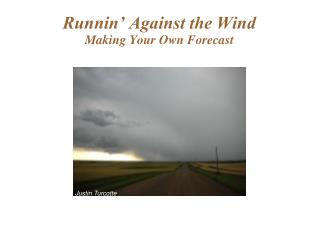
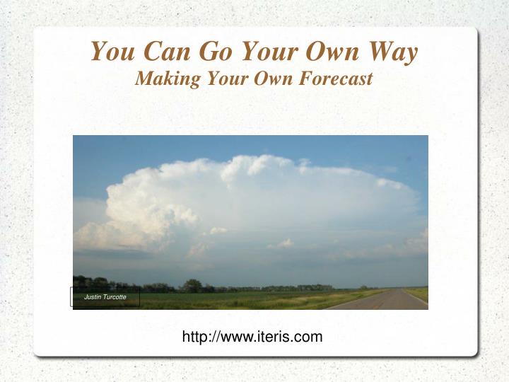
You Can Go Your Own Way Making Your Own Forecast. Justin Turcotte. http://www.iteris.com. Are you an “SPC Chaser”?. An “SPC chaser” is generally regarded as a person who is almost entirely dependent on Storm Prediction Center forecasts for choosing a target area.

E N D
You Can Go Your Own WayMaking Your Own Forecast Justin Turcotte http://www.iteris.com
Are you an “SPC Chaser”? • An “SPC chaser” is generally regarded as a person who is almost entirely dependent on Storm Prediction Center forecasts for choosing a target area. • This type of chaser rests his fortune on the backs of other forecasters and has a tendency to fault these forecasters for his lack of positive results. - The SPC does not issue “chase forecasts”.
Case: June 22, 2010 • The 13z SWODY1 enclosed much of the Upper Midwest in a Slight Risk. A fairly large Moderate Risk area was embedded in this zone. • A large area was covered with 5% tornado probability (a figure that will heighten an average chaser's situational awareness). A 10% tornado probability was embedded in this zone. • Subsequent outlooks changed little.
Case: June 22, 2010 • The southern portion of the SPC's Moderate Risk and 10% tornado probability verified well... • ... however, there were very few severe weather reports in the northern half of the Moderate Risk area. • The 6/22 12z operational GFS model offered solid clues to where and when severe (and “chase-worthy”) storms were most likely to fire. • The “SPC chaser” would not have this added insight.
Storm chaser yahoo: “Yee haw! Moderate Risk for Watertown, South Dakota. Me gone!”
“Better go a bit further south to Brookings to get inside that 10% tornado threat.”
Twelve hours later... “Four hundred miles for some small hail!?! Sucks I wasn't near SUX.”
This was a late show in Iowa by chaser standards. The first Iowa tornado report is shortly after 9pm.
This is a large Moderate Risk area. Where does one go? When? An “SPC chaser” will choose a target of opportunity close to home or aim for the middle of the highest risk area. A chaser may have lucked out with the latter in this case, particularly if the tornado probability forecast was utilized with patience for later evening storm initiation. Note there were no tornado reports in ND, SD, and MN despite enhanced tornado probabilities in these states. Further, storm reports were sparse in the northern half of the Moderate Risk zone. A chaser in this area would have busted along with this portion of the forecast.
Model Guidance • The 6/22 12z GFS was a useful model for the evening forecast. • A chase forecast in simplest terms: Looking for instability + wind shear + lifting mechanism
00 UTC Weak Subsidence
00 UTC Weak
00 UTC UGH! No flow: The col of empty chase dreams. LLJ
00 UTC Lacking low level convergence
00 UTC Still a cap in place
00 UTC Unstable, but little wind shear to support organized storms The good stuff
00 UTC Increasing LLJ allowing for higher helicity values
00-03z QPF H7 shortwave Weak surface boundaries LLJ
03 UTC Nothing Stronger LLJ
More stable More juice
03-06z QPF BOOM
02 UTC First tornado report about this time
Summary • GFS advertised lack of low to mid-level shear suggested organized severe weather was much less likely in the northern half of the Moderate Risk area. • Forecast H70 temperatures/cap suggested widespread convection was not likely in Iowa until after 00z. • A strengthening low-level jet through the evening hours allowed helicity values to spike increasing tornado potential for surface based storms. • While GFS QPF was on the low side, the timing and placement was largely accurate.
Summary • GFS QPF timing and placement was reasonable elsewhere. - There were a couple severe reports near Superior, WI and in the Winnipeg, MB area, both areas where the GFS had enhanced “blips/blobs”. This was also the case in western SD. The model also sort of picked out the area in eastern SD where there were a few wind reports. • SPC forecasts should be treated as a guide. Like a forecast from any source, they can potentially be made more precise with further investigation. • I would recommend putting together your own forecast first then look at the SPC forecast to compare notes.
Summary • Relying solely on another person’s forecast may mean the only tornado you see is the one sitting on the roller at Loaf & Jug.