Download
1 / 14
150 likes | 265 Views
The GeoWall: Application Development Strategy. Paul Morin GeoWall Consortium National Center for Earth-surface Dynamics Department of Geology and Geophysics University of Minnesota. 1. GeoWall. Stereo Projection in the classroom, office and lab Computer hardware from Best Buy

E N D
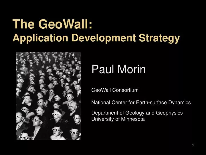
The GeoWall:Application Development Strategy Paul Morin GeoWall Consortium National Center for Earth-surface Dynamics Department of Geology and Geophysics University of Minnesota 1
GeoWall Stereo Projection in the classroom, office and lab Computer hardware from Best Buy Passive stereo 20+ people at a time Under $10,000 Small and Portable 2
Initial Strategy Seed the community with basic applications Stereo Pairs – WallView and Viewer VRML – Immersaview Walkabout – Walking maps Identify the geoscience “Killer Vis” Earthquake hypocenters Stereo maps Stereo photography Geologic cores 3
Stereo Maps Can be created from paper maps, imagery or GIS data Can be very high resolution Created using off-the-shelf software Best when using the exact same map the students use 4
Stereo Pairs Natural extension to traditional field photography Two consumer digital cameras Often used for fieldtrip preparation and debriefing Easiest material to produce 5
Walking a Map Examine the map from within Change the theme as you walk Maps Aerial Photography Satellite Imagery Field notes Can be used to augment fieldwork 6
Topography without contours No crashing Inexpensive Will work next year Can be used in the field Anaglyph Maps 8
Continuing Software Strategy Identify Earth Science apps that require vis Core interpretation 3D Mapping Seduce the key software vendor into supporting GeoWall Read: ESRI Include other key technologies IVS – topographic visualization MapServer for web based GIS delivery Use standard software to unusual applications Powerpoint for stereo photography 9
CoreWall In collaboration with JOI/IODP, LacCore, LDEO, Chronos, DOSECC, EVL, SMM 10
Number of GeoWalls Currently ~400 2-10 new systems a week 11
How the CS Students are Trained Summer internships at geoscience departments Fieldwork AGU/GSA, etc. Sent to many geoscience workshops Publishing in geoscience journals 12
Conclusions Seed example apps Collaborate with industry Take advantage of the low-end Software follows the needs of research and education GeoWall critical mass has been reached in the Geosciences 13
For further information: www.GeoWall.org lpaul@umn.edu 14