Download
1 / 15

E N D
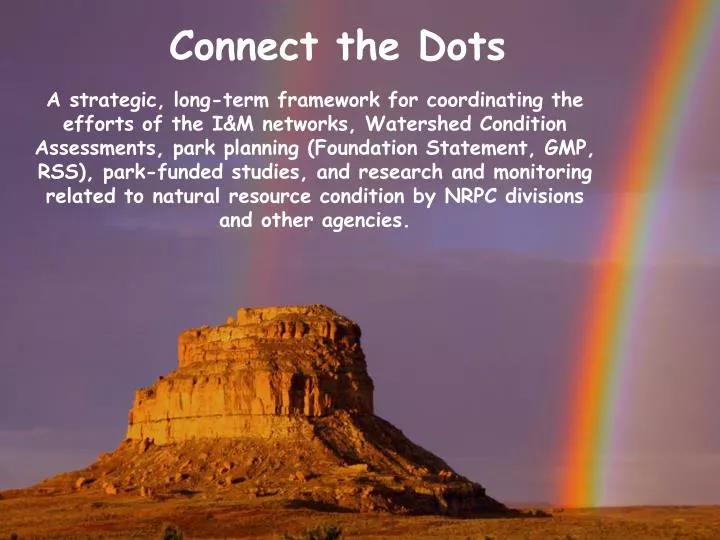
Connect the Dots A strategic, long-term framework for coordinating the efforts of the I&M networks, Watershed Condition Assessments, park planning (Foundation Statement, GMP, RSS), park-funded studies, and research and monitoring related to natural resource condition by NRPC divisions and other agencies.
Contributors/SupportersConnect the Dots Framework: • NPS Planning Program • Kerri Cahill, Patrick Malone • Resource Stewardship Strategy • Gary Mason • Watershed Condition Assessments • Jeff Albright, Bill Jackson • WRD Planning Program • Don Weeks, Dave Vana-Miller • Inventory and Monitoring Program • Bruce Bingham, Shawn Carter, Steve Fancy • IMAC - I&M Advisory Council
Connect the Dots Framework • Improves coordination and integration between NPS science and planning programs Better Management • More effectively implements “condition-based” management and performance reporting. • Communicates key scientific data and information relative to each park’s fundamental and other important resources/values; identifies data gaps and research needs. • Coordinates the efforts of multiple programs, agencies, & funding sources over a time frame of years to decades.
Connect the Dots Framework w/ Connection to Performance Management and Reporting
Management Decision-making informed by scientific information A Logical Sequence as part of Park Operations and the Planning Process: Inventories Monitoring Watershed Condition Assessments Resource Stewardship Strategies
NPS PLANNING FRAMEWORK WHY WHAT HOW Resource Stewardship Strategy GMP Foundation Program Mgmt Plans Strategic Plan Implementation Plans Annual Performance Plan and Report LONG TERM SHORT TERM
Policy makers, Non-Scientists Effective communication Resource Briefs Condition Summary Tables Public Environment Use Assessment by experts to translate scientific findings for policy and decision-making Science Environment Sound Science Scientists, Field-level Practitioners We need to develop and deliver products for parks at all levels of the pyramid; make sure we provide park managers and planners with information, not just data.
Example of a Natural Resource Summary Table (adapted from DRAFT Resource Stewardship Strategy for Denali NP&Pres)
Supporting Table that would be provided by the park’s I&M Network (Provides details for indicators being measured by vital signs program, and gives source of current condition estimate. I&M networks will provide Reference Condition estimates for consideration when requested by the park, based on historical data, regulatory standards, or science-based expert opinion).
Status of stream habitats in ROCR 0.0 0.3 0.5 0.7 0.0 1.0 1.0 0.58 Stream habitat status
Status of upland forest in ROCR 0.0 1.0 0.3 0.0 0.0 0.0 1.0 0.33 Upland forest status
Connect the Dots A strategic, long-term framework for coordinating the efforts of the I&M networks, Watershed Condition Assessments, park planning (Foundation Statement, GMP, RSS), park-funded studies, and research and monitoring related to natural resource condition by NRPC divisions and other agencies.