Download
1 / 25
250 likes | 398 Views
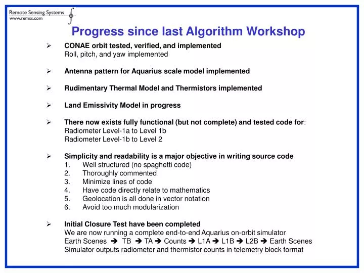
Progress since last Algorithm Workshop. CONAE orbit tested, verified, and implemented Roll, pitch, and yaw implemented Antenna pattern for Aquarius scale model implemented Rudimentary Thermal Model and Thermistors implemented Land Emissivity Model in progress

E N D
Progress since last Algorithm Workshop • CONAE orbit tested, verified, and implemented • Roll, pitch, and yaw implemented • Antenna pattern for Aquarius scale model implemented • Rudimentary Thermal Model and Thermistors implemented • Land Emissivity Model in progress • There now exists fully functional (but not complete) and tested code for: • Radiometer Level-1a to Level 1b • Radiometer Level-1b to Level 2 • Simplicity and readability is a major objective in writing source code • Well structured (no spaghetti code) • Thoroughly commented • Minimize lines of code • Have code directly relate to mathematics • Geolocation is all done in vector notation • Avoid too much modularization • Initial Closure Test have been completed • We are now running a complete end-to-end Aquarius on-orbit simulator • Earth Scenes TB TA Counts L1A L1B L2B Earth Scenes • Simulator outputs radiometer and thermistor counts in telemetry block format
Things to Do(A partial list) • Implement Ruf RFI flagging • Implement other QC flags • Further test. review, and finalize radiometer sensor model • Adapt geolocation to handle of orbit-maneuvers • Implement galactic radiation into simulation and L2b algorithm • Implement solar backscatter into L2b algorithm • For the next year, there will be continual updates and improvements
The simulator now uses the CONAE orbit Histogram shows some differences between JPL and CONAE mostly at the perigee. RMS difference in altitude within an orbit is 108m. Simulated Nadir Latitude, Longitude, and Altitude agree with CONAE to better than 250 meters Roll, Pitch, and Yaw are now simulated assuming geodetic mission CONAE Orbit
Includes surface temperature and moisture from NCEP (simultaneous) Surface type (bare, ice, grass, crop, tree (tropical, deciduous, conifer)) from EUROCLIMAP monthly/annual climatology Soil roughness effect Vegetation effect L-band dielectric model of Dobson et al. 1985 Land Emissivity Model
TA to Voltage (count) Forward Simulation 70 1 68 2 31 37 34 3 38 30 -34 4 TND=500K, TDL=290K, TCND=500K
3rd Stokes Calibration: gain and offset • Estimating Gpv, Gph, op, Gmv, Gmh, om • 3 calibration looks are needed (used 4 looks - overdetermined) • Estimating GpU (same for GmU) • 4th calibration look (vCND) is used • vp,earth=earth count at 10milisec interval • TCND,v and TCND,h are set to TCND/2
3rd Stokes Calibration: gain and offset • TU produces vp and vm signals • Thus vp and vm are used to estimate TU • Yet vp and vm are affected also by Tv and Th • Manipulating the forward equation yields • First, retrieve earth-view Tv and Th • Then, estimate Gpv, Gph, Gmv, Gmh, GpU, GmU, op, om. • Then, remove contributions of Tv and Th to vp and vm • Finally, account for GpU, GmU, op, om
Simulates,based on ATBD (Piepmeier/Pellerano/Wilson/Yueh 2005) radiometer (Ta counts) Ta retrieval (counts Ta) Used minimum 2 calibration looks for v-/h-pol and 4 calibration looks for 3rd Stokes Fully used correlated noise diodes Accuracy is better than 0.01K Testing TA Counts TA
End-to-End Aquarius On-Orbit Simulator: Part 1 TB Cosmic Background 2.7 K Earth Scene Ocean: Salinity, SST, Wind fields Land: Soil moisture, vegetation type, LST Ice: Ice type and temperature Atmosphere (including limb): NCEP profiles TB Galaxy To be implemented TB Sun Year 2000 actual values Easily scalable TB Faraday Rotation Actual TEC values Earth Magnetic Field TBrotated Orbiting Antenna CONAE Orbit Parameters Roll/Pitch/Yaw now included Aquarius Scale Model patterns Orbiting Thermal Model Simple harmonic of orbit position Orbit Position TA Integration Full 4-Stokes Integration over Earth and Space Temperatures TA Thermistor Response Func. Linear with temperature Radiometer Piepmeier Forward Model for TA to counts Radiometer Counts Thermistor Counts
End-to-End Aquarius On-Orbit Simulator: Part 2 Radiometer Counts Thermistor Counts Pre-Formatter Format in Group, Block, and Sub-Block Structure Telemetry Formatter Format in Group, Block, and Sub-Block Structure Scatterometer Data Platform Data Simulated Downlink Telemetry Level-0 to Level-1A Processing Level-1A to Level-1B Processing Antenna Temperature Level-1B to Level-2 Processing TOA Brightness Temperature Swath Salinity, SST, wind, etc Level-2 to Level-3 Processing Time-Averaged Salinity Fields
Explanation of L1B Geolocation Arrays Sun sunlat, sunlon sundis Gain Angles Direct and Reflected Solar tht_global_sun(2) phi_global_sun(2) Aquarius Boresight Reflection glxlat glxlon (J2KM) Moon moonlat, moonlon moondis Earth Surface Solar Backscatter suninc sunazm sunglt Boresight cellat cellon celinc celazm celpra Solar Reflection refllat refllon reflinc
Salinity retrieval over coastal seas (ongoing) • APC (antenna pattern correction) coefficients are trained with 4-integrated Ta Tested on a half of orbit 1
Salinity retrieval over coastal seas (ongoing) land emission corrected with land emission land fraction • Can get closer to the coast by 100-200km • Simultaneous correction of land emission over the coastal ocean is possible