Download
1 / 10
100 likes | 338 Views
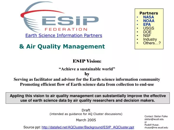
Partners. NASA NOAA EPA USGS DOE NSF Industry Others…?. Earth Science Information Partners. & Air Quality Management.

E N D
Partners • NASA • NOAA • EPA • USGS • DOE • NSF • Industry • Others…? Earth Science Information Partners & Air Quality Management ESIP Vision:“Achieve a sustainable world”by Serving as facilitator and advisor for the Earth science information community Promoting efficient flow of Earth science data from collection to end-use Appling this vision to air quality management can substantially improve the effective use of earth science data by air quality researchers and decision makers. Draft (intended as guidance for AQ Cluster discussions) March 2005 Contact: Stefan Falke stefan@wustl.edu or Rudolf Husar, rhusar@me.wustl.edu Source ppt: http://datafed.net/AQCluster/Background/ESIP_AQCluster.ppt
ESIP Federation – Strategic Plan Mission • Establish and continuously improve science-based end-to-end processes that increase the quality and value of Earth science products and services throughout their life-cycle for the benefit of the ESIP Federation’s stakeholder communities Vision • Enhance society’s quality of life, economic opportunities, and stewardship through the regular use of scientifically sound Earth science information provided in a timely manner by a federation of partners collaborating to improve their collective services Strategic Goals (from Tom Yunck’s presentation) 1. Serve as facilitator and advisor for the Earth science information community. 2. Promote efficient flow of Earth science data from collection to end-use. 3. Improve quality and usability of Earth science data and information systems. 4. Expand the use of Earth science information – get it to the decision-makers. 5. Educate the public about Earth science and science information systems. • ESIP Federation Clusters(from ESIP Fed. website) • Clusters are formed by a group of ESIP members to address a particular problem of interest • Intended to promote informal, easy exchange of information among partners • Clusters can be required by the Vice President to submit reports of their activity.
INFO SYSTEM Links ESIP FED Support of ‘Integrated Solutions’ by ESIP Federation Data Providers Data Users ESIP Federation facilitates the flow of Earth Science data into air quality management systems Air Quality Management System
ESIP Organization Infrastructure The ESIP Federation and ESIP Foundation provide an established and proven framework in which to bring organizations together to collaborate in applying information technologies to advance earth science information systems and support for decision making. This framework is a valuable resource as efforts are extended to focused applications, such as air quality, as it reduces the barriers in collaboration, interoperability, and technology development. Given ESIP’s goals to advance the flow of information from providers to decision-makers, its progress toward this goal, and the data and information technology available through its membership, the ESIP Federation is an ideal environment in which to foster collaboration and develop real applications of earth science information in air quality research and management.
Air Quality Focus Group Air Quality is one of 12 Applications of National Priority as defined by NASA and is one of 5 National Application Areas most frequently selected as an area of interest by ESIP members. An air quality focus group met during the 2005 ESIP Winter Meeting to discuss how ESIP might play a role in advancing the use of earth science data in air quality management. About 20 participants attended the focus group and particular interest was expressed in the areas of real time air quality event tracking and fire/smoke events. A key recommendation in pursuing ESIP participation in air quality applications was the formation of an ESIP air quality cluster. More information from the air quality focus group is included at: http://datafed.net/AQCluster. ESIP Winter Meeting – Washington, D.C. January 2005 The following slides represent a summary of a strawman outline for the formation an ESIP Air Quality Cluster and are intended to aid the deliberations of the Cluster.
AQ Cluster Rationale • The current atmosphere is very favorable for an ESIP Air Quality (AQ) Cluster to make substantial contributions. There is a rich set of AQ-relevant ES data available from a wide array of providers. There are also a large number of potential consumers of ES data for AQ management, informing the public, Earth Science education and other purposes. • However, • the available ES data are not in a state ‘ready for consumption’ • the consumers are not fully capable of ‘metabolizing’ the rich data offerings • the data flow ‘refining, piping and pumping’ is rigid, sporadic, and inefficient. • An ESIP Air Quality (AQ) Cluster could make substantial contributions toward better use of ES data in air quality applications
AQ Cluster Goals • The general intent of the AQ cluster is to connect the AQ data consumers and data providers. • The specific initial goals of the AQ cluster are to: • bring people and ideas together on how to deliver ES data to AQ managers (cluster ‘management’ track) • contribute real examples and demonstrate end-to-end flow of earth science data to specific air quality management applications (cluster ‘technology’ track)
AQ Cluster Interactive Community Website(management track) • Cluster coordination would involve a ‘virtual community’ website supplemented and complemented with meetings during bi-annual ESIP Federation meetings, teleconferences, and special workshops, as needed. • The interactive community website would provide • means of ‘registering’ data, tools, and mediation services • a resource for the broader interests in satellite data for AQ management • provide email notification of updates • The website would be a common, shared AQ cluster resource for • promoting cluster actives and engaging participants • communicating the latest cluster activities • archiving cluster activities
AQ Data Flow Demonstrations(technology track) • The technology used in developing demonstrations of end-to-end air quality applications of earth science data would draw heavily on the technologies, tools and methods of the Cluster members. The initial activity would focus on enhancing existing information systems for AQ-relevant data. Specific web services for data access, processing and delivery will be promoted for inclusion into the operational applications, along with the associated software tools • Activities include: • Identification of state-of-the-art technologies, particularly in the web services arena • Facilitation and coordination of the discovery, access, synthesis and delivery of AQ-relevant Earth Science data using web services technologies • Facilitation and creation of specific web service value chains for the delivery of actionable AQ knowledge • The reuse of Earth Science data standards and standards-based resources (OGC, OpenDAP, DataFed) will also be promoted. More advanced ‘demonstration’ projects would be developed using novel Service Oriented Architectures (SOA) to the assembly more agile, flexible information flow and processing systems.
Questions for the ESIP AQ Cluster • What are the air quality relevant capabilities and resources within the earth science community? • What types of air quality applications can ESIP support • Work up example applications • What kind of demo/testbed should be pursued? Who are the AQ users of earth science data and how might they use them? Understand their current efforts and information flow processes Identify specific areas of interest What kind of demo/testbed should be pursued? What current projects are linking satellite data to air quality management? Understand their current efforts and information flow processes What can be ‘reused’ from these projects How might web services be used by these projects What information technologies can improve the information flow from provider to user? Identify relevant available and upcoming technologies How to apply these technologies? What kind of demo/testbed should be pursued?