Download
1 / 17
170 likes | 355 Views
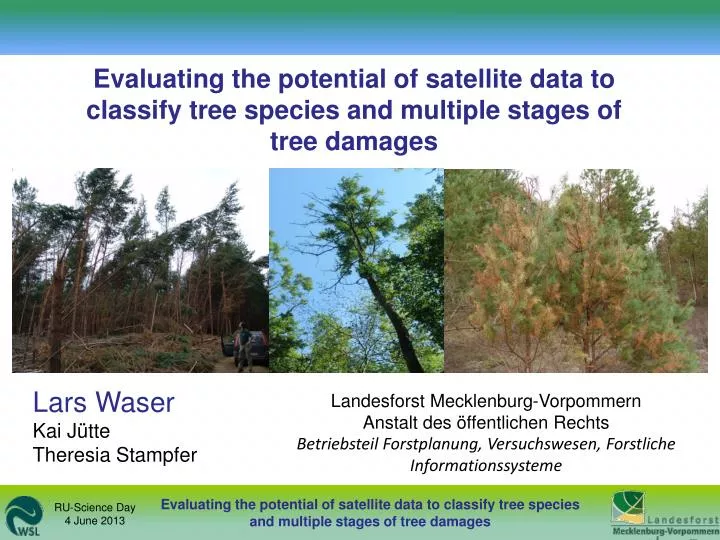
Evaluating the potential of satellite data to classify tree species and multiple stages of tree damages. Lars Waser Kai Jütte Theresia Stampfer. Landesforst Mecklenburg-Vorpommern Anstalt des öffentlichen Rechts Betriebsteil Forstplanung, Versuchswesen, Forstliche Informationssysteme.

E N D
Evaluating the potential of satellite data to classify tree species and multiple stages of tree damages Lars Waser Kai Jütte Theresia Stampfer Landesforst Mecklenburg-Vorpommern Anstalt des öffentlichen Rechts Betriebsteil Forstplanung, Versuchswesen, Forstliche Informationssysteme
Tornado „Doris“ 1/13
Situation / goals • Tornado „Doris“ – severestorm & hail; 11 June 2010 • > 2000 ha of forest affected / destroyed => Which tree species are affected most? (tree species classification) => Focus on detecting multiple stages of tree damages (ash / Scots pine) • Which satellite system is most appropriate? • (costs, Pros / Cons) 2/13
Study areas German State Mecklenburg-Vorpommern 3/13
Satellite data TerraSAR-X images WorldView-2 images - Activesystem, X-band (3 cm) - 1.25 m - Passive opticalsystem, 2 m - 8 bands RGBI, costal, yellow, NIR2, Rededge 4/13
Training / reference data • 7 Tree species: Delineated tree crown polygons (756) => Ash, beech, Douglas fir, larch, Norway spruce, oak, poplar • 4 stages of tree damages (ash / Scots pine): 4 x 120 polygons 4(75-100%) 2(25-50%) 3(50-75%) 1(0-25%) destroyed foliage Terrestrial survey Crown view from a crane 5/13
In-situ spectralmeasurements Crown view from: Aerial images a mobile crane WorldView-2 images Terrestrial survey e.g. damage stage 3 6/13
Training / reference data • Different stages of damaged Scots pine (2011) - Delineated tree crown polygons (756) 7/13
Classification • Pre-processing - De-Hazing+AtmosphericCorrection - Noise reduction - Image segmentations • Signatures (variables) - Original bands & 22 Vegetation indices - 20 indices (filters, textural & structural) • Multinomial log. regression - Variable selection - Cross-Validation (10-fold) • Validation of prediction: external, independent reference data (polygons) 8/13
Results 10-fold cross-validated TerraSAR-X WorldView-2 Overall acc. Overall acc. 7 tree species kappa kappa ash, beech, Douglas fir, larch, Norway spruce, oak, poplar 0.90 0.83 0.31 0.56 => ash and poplar > 0.7 Stage of damage 1 0.78 0.83 2 0.65 0.62 0.73 3 0.71 0.72 0.78 4 0.62 1 0.62 0.44 0.39 2 3 0.52 0.53 0.56 0.59 4 ash Scots pine Waser et al. in prep. for Remote Sensing of Environment 9/13
Results 10-fold cross-validated TerraSAR-X WorldView-2 Overall acc. Overall acc. 7 tree species kappa kappa ash, beech, Douglas fir, larch, Norway spruce, oak, poplar 0.90 0.83 0.31 0.56 => ash and poplar > 0.7 Stage of damage 1 0.78 0.83 2 0.65 0.62 0.73 3 0.71 0.72 0.78 4 0.62 1 0.62 0.44 0.39 2 3 0.52 0.53 0.56 0.59 4 ash Scots pine Waser et al. in prep. for Remote Sensing of Environment 9/13
Results 10-fold cross-validated TerraSAR-X WorldView-2 Overall acc. Overall acc. 7 tree species kappa kappa ash, beech, Douglas fir, larch, Norway spruce, oak, poplar 0.90 0.83 0.31 0.56 => ash and poplar > 0.7 Stage of damage 1 0.79 0.83 2 0.65 0.62 0.73 3 0.71 0.76 0.78 4 0.62 1 0.62 0.44 0.39 2 3 0.52 0.53 0.56 0.59 4 ash Scots pine Waser et al. in prep. for Remote Sensing of Environment 9/13
WorldView-2 versus TerraSAR-X: tree species WorldView-2 TerraSAR-X Overall accuracies of prediction (independent reference data) 81% 50% 10/13
WorldView-2 versus TerraSAR-X: damaged ash WorldView-2 TerraSAR-X 11/13
WorldView-2 versus TerraSAR-X: damaged Scots pine WorldView-2 TerraSAR-X Overall accuracies of prediction (independent reference data) 72% 35% 12/13
Conclusions & outlook • Multispectral WorldView-2 have a high potential for classifying: • - tree species (7) • - 4 different stages of damaged ash and Scots pine • Calculation of indices significantly (p = 0.01) improved classification accuracies • TerraSAR-X data less (not) appropriate (exceptions) • Reasonable amount of effort regarding data acquisition and pre-processing • Testing aerial images (lower costs, more flexible) 13/13
Thankyou! 13/13