Download

1 / 16
160 likes | 369 Views
Sources of GIS Data . Definition:. What is data? Data is anything in the form of Charts Tables Text Maps Photos Imageries, etc. . Examples of data. Data vs. Information. Data are collection of facts Data are observed/recorded It simply exists and does not have meaning of itself.

E N D
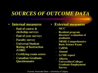
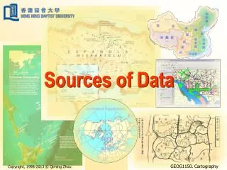
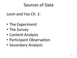
Sources of GIS Data
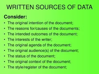
Definition: • What is data? • Data is anything in the form of • Charts • Tables • Text • Maps • Photos • Imageries, etc.
Data vs. Information • Data are collection of facts • Data are observed/recorded • It simply exists and does not have meaning of itself • Information is obtained when the data is summarized/analyzed and the result is put into a meaningful context
Data vs. Information Information Data
Wisdom Knowledge Information Data Beyond Data & Information
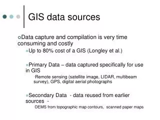
Sources of GIS data • Existing Maps (analog & digital) • Remotely sensed data • a. Photographs • b. Satellite Imagery • c. Lidar • 3. Field observation • a. Survey / Sampling • b. GPS data
In NH (GRANIT): www.granit.sr.unh.edu In MA (MASS GIS): www.mass.gov/mgis/ In VA (VGIS): www.vcgi.org In NY: www.gis.ny.gov Most of the GIS data are now available online from respective State GIS data clearing house
Data format • Most of the vector GIS data are in • Shapefile (ArcView 3.x) • ArcInfo interchange file (.e00) You have to use Import function in ArcGIS to make an ArcInfo interchange file usable!
Data format • We will be using Geodatabase in this class • Shapefiles can be exported to a feature class in a Geodatabase
Advantage of Geodatabase Feature class provides updated length of line feature You can easily get the total length of Roads in NY!
Advantage of Geodatabase Feature class provides updated area & perimeter of each polygon in a Geodatabase
What about area in a shape file? • Shape file does not update the area of a polygon in the output layer • You have to manually update it!