Download
1 / 36
360 likes | 434 Views
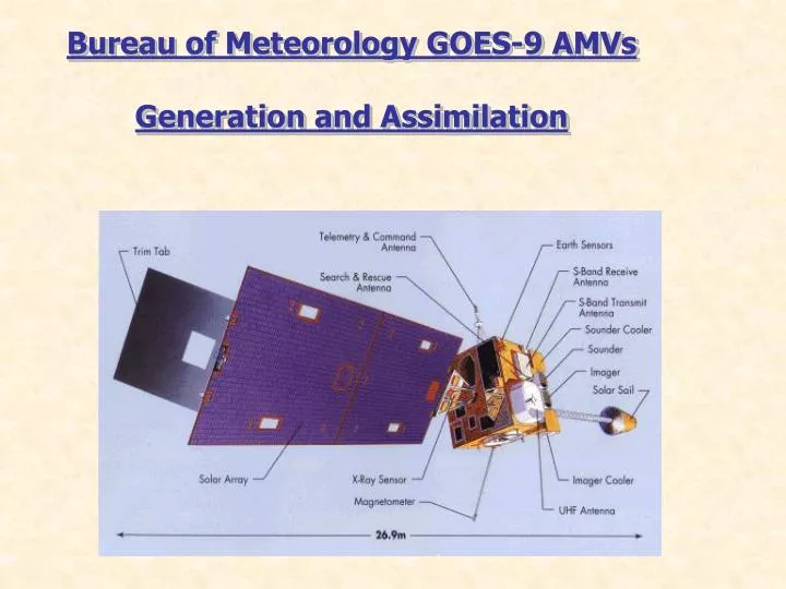
Bureau of Meteorology GOES-9 AMVs Generation and Assimilation. GMS‑5 channels Channel Wavelength ID Range Resolution VIS 0.5 - 1.0 µm 1.25 km IR1 10.2 - 11.4 µm 5 km IR2 10.9 - 12.2 µm 5 km IR3 6.7 - 7.2 µm 5 km. GOES-9 IMAGER.

E N D
Bureau of Meteorology GOES-9 AMVs Generation and Assimilation
GMS‑5 channels Channel Wavelength ID Range Resolution VIS 0.5 - 1.0 µm 1.25 km IR1 10.2 - 11.4 µm 5 km IR2 10.9 - 12.2 µm 5 km IR3 6.7 - 7.2 µm 5 km
TRANSITION PLAN FROM GMS-5 TO MTSAT/EO-3 GOES-9 Eo-3/GIFTS
ATMOSPHERIC MOTION VECTORS Image Navigation Target Selection Target Tracking Height Assignment Quality Control and Error Estimation
Bureau of Meteorology GOES-9 Ch.4 AMVs Features tracked in Ch.4 images Height assignment High lvl using Ch.4/Ch.3, low lvl Ch.4 cld base. Assimilation RT in LAPS375 (June 2003 – 30 cases).
Table 1Real time schedule for GOES‑9 Atmospheric Motion Vectors at the Bureau of Meteorology Sub‑satellite image resolution, frequency and time of wind extraction and separations of the image triplets used for wind generation (ΔT) are indicated.
Table 1 Mean Magnitude of Vector Difference (MMVD) between GOES‑9 AMVs and radiosondes winds within 150 km in the Australian Region for 9 June to 30 June 2003
Quality Control Oper1 (ERR) Correlation between images U acceleration V acceleration U deviation from first guess V deviation from first guess Cloud height check
Quality Indicator (QI) Direction consistency (pair) Speed consistency (pair) Vector consistency (pair) Spatial Consistency Forecast Consistency QI = ∑wi.QVi/∑wi
EE provides RMS Error (RMS) Estimated from U acceleration V acceleration U deviation from first guess V deviation from first guess Shear Speed…
Recursive Filter Flag (RFF : 0 – 100) Determined by final fit of vector to recursive filter analysis
NASA NOAA Navy and BoM Partnership GIFTS/IOMI Enables Improved Global Weather Prediction Data to Naval Centers/ Fleet Demo Data to NOAA Centers Australian Ground Station & Data Processing Center Conus “1” Conus “2” Indian Ocean “3” Inter-Agency/International Cooperation Department of Commerce/NOAA DoD/Space Test Program Bureau of Meteorology Australia
GIFTS Allows The Trade of Coverage & Spectral Resolution Global Disk Sounding: 360 Steps Spectral Resolution: 18cm-1 Low Noise Sounding: 36 Steps Global Disk Imaging: 422 Steps Spectral Resolution: 0.6cm-1 Spectral Resolution: 36cm-1 Sounding Regional: 144 Steps < 1/2 Hr (imagery < 5 min) < 1 Hr Spectral Resolution: 0.6cm-1 < 1/2 Hr < 10 Min
NAST-I Demonstration of GIFTS Water Vapor Feature Sensitivity 300 Mb 500 Mb 850 Mb CART-Site CART-Site CART-Site
The business of looking down is looking up