Download
1 / 22
220 likes | 389 Views
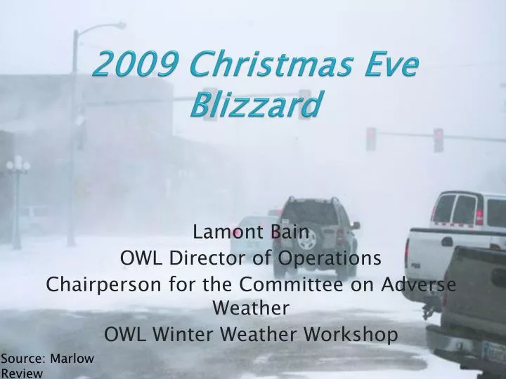
2009 Christmas Eve Blizzard . Lamont Bain OWL Director of Operations Chairperson for the Committee on Adverse Weather OWL Winter Weather Workshop . Source: Marlow Review . Case Study Outline. Upper Air/Surface Maps Norman, OK and Springfield, MO RAOBs “Noteworthy” mesoscale features

E N D
2009 Christmas Eve Blizzard Lamont Bain OWL Director of Operations Chairperson for the Committee on Adverse Weather OWL Winter Weather Workshop Source: Marlow Review
Case Study Outline • Upper Air/Surface Maps • Norman, OK and Springfield, MO RAOBs • “Noteworthy” mesoscale features • Banded precipitation via KTLX (Twin Lakes) radar • Surface Observations • Storm Summary
300 mb objective streamline analysis 12Z December 24th2009 Upper trough becoming more negatively tilted Jet interactions
500 mb objective analysis 12Z December 24th2009 500 mb closed low L Strong thermal gradient
850 mb objective analysis 12Z December 24th 2010 Strong 850 mbbaroclinic zone L
Surface analysis 12Z December 24th 2010 Wintry precipitation
“Big Picture” summary at 12Z • Jet interactions at 300 mb and strong divergence aloft (per SPC OA) across east TX/southwest AR • Diffluent flow across east TX at 500mb & tightening thermal gradient at the base of the trough across south TX • Transport of warm and moist air through the 700/850 mblayers downstream from respective lows • Confluent flow along 850 mbbaroclinic zone • Two SFC lows across east TX w/ attendant surface frontal zones • Wintry precipitation developing across western OK…but still liquid along and east of the I-35 corridor
Mesoscale Discussion issued 1325Z WARM ADVECTION WILL PERSIST FROM ABOUT 850-700 MB...BUT VERTICAL MOTION WITH THE DEEPENING SYSTEM WILL HELP TO OFFSET ACTUAL WARMING. SUFFICIENT BUT NOT STRONG DEEP FRONTOGENETICAL FORCING WILL ALSO TRANSLATE EWD ACROSS THE TX PANHANDLE AND WRN OK AS TEMPERATURES COOL DURING THE DAY. AREAS ALONG I-35 IN OK CAN EXPECT RAIN EARLY...MIXING WITH ICE PELLETS TOWARDS MID MORNING...AND BECOMING ALL SNOW BY 18Z. AT THAT TIME...1 IN/HR RATES MAY OCCUR. W OF I-44...MIXED PRECIPITATION WILL CHANGE TO ALL SNOW BY AROUND 15Z WITH OVER 1 IN/HR SNOWFALLS RATES. STRONG NWLY WINDS GUSTING OVER 40 MPH WILL RESULT IN VERY LOW VISIBILITY IN HEAVY SNOW WITH BLIZZARD CONDITIONS AT TIMES OVER WRN OK AND NW TX.
Surface analysis 18Z December 24th2009 Wintry precipitation & stiffening SFC pressure gradient Deepening SFC low
12Z/18Z Comparison • 12Z warmer 700-850mb warm nose • WARM ADVECTION WILL PERSIST FROM ABOUT 850-700 MB...BUT VERTICAL MOTION WITH THE DEEPENING SYSTEM WILL HELP TO OFFSET ACTUAL WARMING. • Melting • Melting actually helps to cool this layer. • Strong CAA at the surface • METAR KOKC 241252Z 35027G41KT 9SM -RA OVC013 01/M03 A2964 RMK AO2 PK WND 35041/1248 SLP041 P0000 T00061028 $ • SPECI KOKC 241808Z 34031G42KT 1/16SM R35R/1000V1400FT +SN BLSN VV009 M04/M07 A2963 RMK AO2 PK WND 35052/1757 TWR VIS 1/2 P0001 $
“Big Picture” summary at 18Z • Deepening surface low across NE TX and SW LA • Diabatic effects contributing to cooling aloft • Strong CAA at the SFC • Transition to wintry precipitation from west to east across OK and western north TX • Strengthening surface pressure gradient and heavier wintry precipitation => blizzard-like conditions across central OK and NW TX
23Z IR Satellite Imagery Heaviest precipitation along I-35 corridor Dry air intrusion WFO Norman
Peak Wind Gusts WFO Norman
Snowfall Amounts WFO Norman
Event Summary • Upper level low tracked near DFW • Strong WAA and moist advection 700-850 mb layer • Confluent flow along 850 mbbaroclinic zone yielded 850 mbfrontogenesis • Surface low deepened over east TX possibly in response to upper level jet interactions • Strong CAA at the surface and diabatic effects supported a transition from liquid to freezing to frozen precipitation across central OK • For more information see news archive from NWS Norman
Special Thanks • President Keith Sherburn • Treasurer Nicole Ramsey • Director of Development Greg Blumberg • NWS Officials • Rick Smith –Warning Coordination Meteorologist • Kevin Brown- Lead Forecaster • Erin Maxwell- Journeywoman Forecaster