Download
1 / 17
170 likes | 177 Views
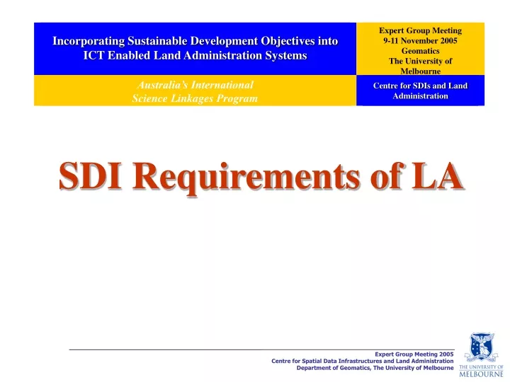
Incorporating Sustainable Development Objectives into ICT Enabled Land Administration Systems. Expert Group Meeting 9-11 November 2005 Geomatics The University of Melbourne. Australia’s International Science Linkages Program. Centre for SDIs and Land Administration.

E N D
Incorporating Sustainable Development Objectives into ICT Enabled Land Administration Systems Expert Group Meeting 9-11 November 2005 Geomatics The University of Melbourne Australia’s International Science Linkages Program Centre for SDIs and Land Administration SDI Requirements of LA
Background • Internationally SDI concept has focussed on National SDIs; • However, SDIs are increasingly focussing on large-scale people relevant data (land parcel based data or build environmental data); • A central aspect in understanding these developments is the evolution of mapping, and the growth of land administration systems and national mapping initiatives in different countries.
Role of SDI • Starting from the current initiatives to implement SDI as a mechanism to facilitate access/sharing of spatial data hosted in distributed GISs (the conventional concept); • through the access and chain of web services offered by distributed GISs, making use of Internet technologies; • To a new business paradigm where ‘SDI’ is emerging as a ‘virtual jurisdiction’ or ‘virtual enterprise’ to promote the partnership of SI-organisations (Public/Private) to provide wider scope of data and services, of size and complexity that is beyond their individual capacity. • The development of such SDI requires an integrated platformto support the chaining of services across participating SI-organisations.
Sustainable Development LA SDI To understand the role of SDIs at a sub-national level (eg. state level) we must understand the relationship between SDIs and land administration.
Government data Services Infrastructure Vision is to Facilitate the Integration of Existing Government Spatial Data Initiatives for Access and Delivery of Data/Information SI Services National/State SI Initiatives Partnership Approach Fundamental Dataset model Principle of Custodianship Data Enhancing the capability of government, the private sector and the general community to engage in systems based, integrated and holistic decision making about the future. Enabling Platform Connecting people to data and services Industry Public People
The Role of Sub-National Government and the Private Sector in Future SDIs
1st Generation 2nd Generation Countries begin developing SDI anytime along the continuum Continuum of SDI Development Product-Based SDI development model - Definition of data - Collection of data - Integration of data - Data Base Creation - More Implementation Process-Based SDI development model - Knowledge Infrastructure - Capacity Building - Communication - Coordination Relationship between the 1st and 2nd Generation of SDI and the Product and Process-based SDI Development Models
Strategic & Operational Activity National Government Uncoordinated Activity Influence on SDI development over past 10 years State/Local Government Private Sector Role of Government and the Private Sector in SDI Development over the Past Decade
Private Sector State/Local Government Operational Current Influence on SDI Development Strategic National Government Emerging SDI Development Trends and Initiatives
1st Generation 2nd Generation Towards the Next Generation Developed Countries Emerging Economies Developing Countries Developed, Emerging and Developing Countries Delivery of a Virtual Environment 1990 1992 1994 1996 1998 2000 2002 2004 2006 Future Process Based SDI development model Product-Based SDI development model National/Federal Government Influence – Data Focus National, Sub-national Govt. and Private Sector Influence – Process Focus Sub-national Govt. and Private Sector Influence – Strategic National focus Continuum of SDI Development based on the 1st and 2nd Generations of SDI
UN-FIG Bogor Declaration on Cadastral Reform (1996) The spatial cadastral framework (usually a cadastral map) should be a fundamental layer within a Nation SDIso that topographic and cadastral maps are homogenous.
Integration of Built and Natural Environmental Datasets within a National SDI
Sustainable Development Built Data Natural Data Integration of datasets to facilitate sustainable development Project Aim This project will investigate the justification for integrating these two forms of spatial data in support of sustainable development and develop a model/ frameworkandassociated tools capable of being used in diverse jurisdictions.
Sustainable Development Economic, Social, Environment Cadastre Data SDI e-Citizenship e-Government Land Administration Functions Land Tenure, Land Value, Land-Use, Land Development Land Policy Framework Land Information Infrastructures Other Data Country Context Institutional Arrangements Topo Dataset Data Integration Interoperability Issues Data Delivery System Data Sharing, …. Land Administration Arrangements Incorporating sustainable development objectives into ICT enabled land administration systems (Adopted from Enemark, Williamson and Wallace, 2004)
SDI Technical Evolution of Land Administration 1970 1980 1990 2005 2010 Manual Systems Hardcopy Maps and Indexes Computerization DCDB and Indexes Online Land Administration Web enablement eLand Administration Interoperability iLand Spatially Enabled Government and Private Sector
Evaluation & Monitoring Access Policy Market Services iLand Technical Tools Information Rights, Restrictions & Responsibilities VISION • Sharing • Pricing • Licensing • Technical systems • Privacy, Commercial • Collection of information • Outcome measurement • Feedback • Correction • Principles • Research • International monitoring • Government reviews • Authentic registers Evaluation & Monitoring • Public engagement • Private businesses • New products • Private Public • Partnerships Access Policy Market Services Enabling Environment iLand Technical Tools Information Rights, Restrictions & Responsibilities • Accurate, Dynamic • Land • Buildings • Relative, Dynamic • Businesses • People • Transactions • Processes • Values • New technical capacity • Encryption • Web enablement • Interoperability • Location enablement • Spatial identification • Government infrastructure • Laws • Business activity focus • Layering systems