Download
1 / 12
120 likes | 295 Views
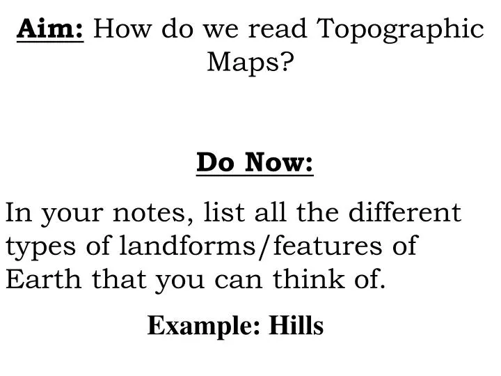
Aim: How do we read Topographic Maps? Do Now: In your notes, list all the different types of landforms/features of Earth that you can think of. Example: Hills. I. Vocabulary. 1) Topography : The shape of the land. Grand Canyon, Arizona. K2, Pakistan. Napa Valley, California.

E N D
Aim: How do we read Topographic Maps? Do Now: In your notes, list all the different types of landforms/features of Earth that you can think of. Example: Hills
I. Vocabulary 1) Topography: The shape of the land. Grand Canyon, Arizona K2, Pakistan Napa Valley, California
2) Topographic Maps: • Represent the shape of the land on a flat piece of paper.
Isolines represent different elevations on a topographic map. • Each isoline connects values that are equal. “iso” means equal m m m m m
3) Altitude The height above sea-level or above a specific point on a map. What value is sea-level? Get the Altitude worksheet from the back of the room. You and your partner should work on this worksheet together. We will go over it in 10-15 min.
II. Parts of Topographic maps: a) Index Contour Lines:darker lines that are labeled with their elevation. Using the index contour lines, determine the value of the lines in between. Index contour lines
b) Contour Interval: • The measurement that separates each contour line. • They are a vertical measurement.
c) Hachure marks: refer to a drop in elevation. Indicates a depression in the ground. Copy diagram into notes d) Bench mark: shows the exact elevation at that point.
e) Gradient • Refers to the steepness of the land (slope) Closer contour lines = steep slopes. Further contour lines = gradual slopes. Which side of the hill is the steepest? WHY? N
F) River and Streams When a river or stream crosses a contour line, the contour line bends and points upstream. upstream • Upstream is where the river starts. • Downstream is where the river ends. downstream
G) The highest possible point on a contour map will always be one unit less than the next possible contour line. What is the highest possible value of X? X 10 m Contour Interval = 10 m
Closure Obtain the worksheet called “Reading a Topographic Map” from the back table and complete the worksheet. We will go over it when finished.