Download
1 / 19
210 likes | 336 Views
GNSS@tide gauge Realisation in the German Bight. Astrid Sudau and Robert Weiß Departement Geodesy German Federal Institute of Hydrology. German Federal Institute of Hydrology. Predecessor institute of the BfG was founded in 1891 for Levellings along waterways

E N D
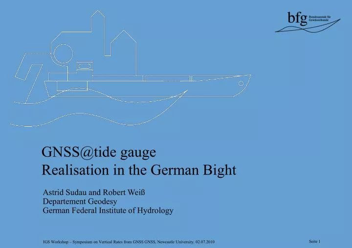
GNSS@tide gauge Realisation in the German Bight Astrid Sudau and Robert Weiß Departement Geodesy German Federal Institute of Hydrology
German Federal Institute of Hydrology • Predecessor institute of the BfG was founded in 1891 for • Levellings along waterways • Height determinations of gauge datum and • benchmarks • Principal duty of the departement Geodesy • Interface function • Determination of vertical movements along waterways • Analyses of geodetic tide gauge informations Scientific community German Waterway and Shipping Administration
Analyses of tide gauge datum • Gauge Specification • Gauge instruction from Februar 1810 (Prussia) • Waterlevel in relation to benchmarks • Different releases since 1810 • Consists of: • Basic text • Appendix A: Instruments and Installations • Appendix B: Observations and Maintenance • Appendix C: Datum Control and Levellings • … Gauge spec. 1935 Gauge spec. 1951 Gauge spec. 1978 Gauge spec. 1997 Manual on Sea Level 2006
gauge zero bechmark (controlled every second year) Analyses of tide gauge datum ordnance datum network (controlled every 15 years) global reference frame (controlled every second year) • Water level in relation to
Analyses of tide gauge datum • Different types of water levels Water levels related to the nation-wide ordnance datum network Wdatum network levellings Water levels related to the gauge datum Wgauge datum Water levels related to the immediate surroundings Wbenchmark controlled setpoint differences „regional Waterlevel“ Water levels related to a global reference frame Wglobal GNSS@ tide gauge „global Waterlevel“ „local Waterlevel“ „raw Waterlevel“
Analyses of tide gauge datum • Different interpretation of gauge specification • Vertical movements and height changes of benchmarks • Staff gauge shift Change of gauge datum • Both cases in course of time • Inconsistent time series of water level records
Analyses of tide gauge datum • Water level in relation to immediate surroundings • Coastal protection structures (like banks and tidal outlets)
Analyses of tide gauge datum • Absolute trend
GNSS@tide gauge (BfG) • Motivation for a permanent network • Consideration of recent vertical movements • Waterlevels in relation to an global reference frame • Currently 18 BfG GNSS@tide gauge sites are realized (up to 24 sites are planned) • Homogenious geodetic equipment
GNSS@tide gauge (BfG) • All BfG sites are directly installed at tide gauge • Benchmarks and GNSS-antenna are mounted on the same physical structure • Relations between benchmark and GNSS marker will be constant • 3 BKG GREF stations are installed near tide gauges (relations between antenna and tide gauge datum are monitored by the BfG and Waterway- and Shipping Offices)
GNSS@tide gauge • Processing • Data processing is realized by the BfG • Processing with Bernese Software in cooperation with the DGFI • Weekly coordinate constraint solution (based on IGS reference frame sites in this area) • Results (heights of tide gauge datum and benchmarks) are related to the IGS05 reference frame
GNSS@tide gauge • Results • Short time series
GNSS@tide gauge • GNSS@tide gauge sites (I) l. to r. Borkum Fischerbalje, Mellumplate/Dwarsgat, Emden – Neue Seeschleuse
GNSS@tide gauge • GNSS@tide gauge sites (II) l. to r. Dukegat/Knock, Dwarsgat/Cuxhaven – Steubenhöft, LH Alte Weser/Wilhelmshaven
GNSS@tide gauge • GNSS@tide gauge sites (III) l. to .r. FINO-1, radar gauge system / GNSS-antenna, FINO-3
Summary • Analyses of tide gauge datum • Geodetic informations are very important • Vertical movements and the secular rise of the sea level superimpose • Different types of water levels • BfG GNSS@tide gauge in the German Bight • 18 BfG GNSS@tide gauge sites are realized • BfG GNSS@tide gauge sites are directly installed at tide gauges
Summary • GNSS@tide gauge in the German Bight • World wide comparison of water levels is possible • Water levels related to a global reference frame • Contributions for research on global change / coastal ocean modelings • Calibration of satellite altimetry • Contributions for the determination of the vertical datum (W0) of the Conventional Vertical Reference System • ...
Summary • Source: Federal Maritime and Hydrographic Agency