Download

1 / 21
210 likes | 601 Views
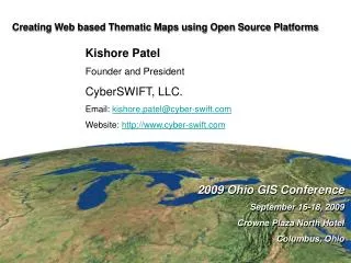
2009 Ohio GIS Conference September 16-18, 2009 Crowne Plaza North Hotel Columbus, Ohio 2009 Ohio GIS Conference September 16-18, 2009 Crowne Plaza North Hotel Columbus, Ohio Creating Web based Thematic Maps using Open Source Platforms Kishore Patel Founder and President CyberSWIFT, LLC.

E N D
2009 Ohio GIS Conference September 16-18, 2009 Crowne Plaza North Hotel Columbus, Ohio 2009 Ohio GIS Conference September 16-18, 2009 Crowne Plaza North Hotel Columbus, Ohio Creating Web based Thematic Maps using Open Source Platforms Kishore Patel Founder and President CyberSWIFT, LLC. Email: kishore.patel@cyber-swift.com Website: http://www.cyber-swift.com
Why open web mapping systems such as Google Maps/Google Earth/Bing Maps? • They are very popular • Backed by largest of software companies • Well documented API • Big following and lot of peer support • Built in base layers for almost the whole world
What this presentation is about? • It is about exploring some ways to create thematic maps using open web mapping systems such as Google Maps / Microsoft Bing Maps. • About identifying the advantages and disadvantages that these techniques offer • Find out what may work and what may not
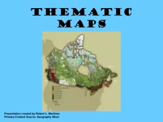
Which approach to take? Vector based thematic mapping? • Flexible and more interactive • Suitable for dataset that changes often Raster based thematic mapping • Better performance for larger datasets • Suitable for dataset that changes less often
Custom development of theme This involves using the mapping API of Google Maps or Microsoft Bing Maps and creating the theme using point, line or polygon objects. Advantages: • Flexibility • Control Disadvantages: • Complex, longer learning curve • Performance bottlenecks. (Clustering could be an option to help performance)
DEMO (India Pollution Map)
KML based thematic mapping This process involves creating KML/KMZ file for the theme using one of the many options and loading the same on Google Map or Microsoft Bing Maps http://thematicmapping.org – new, opensource, JavaScript library which allows you to create thematic maps from your own data source
DEMO (KML based thematic map)
KML based thematic mapping using proportional pie charts on Google Earth
KML based thematic mapping using 3D polygones on Google Earth
Raster based thematic mapping This process involves rendering the data into a raster-format and superimpose them as a tiled layer on top of the base-map. Creating a dynamic tiled layer can be achieved using a program such as MapServer. MapServer is an Open Source platform for publishing spatial data and interactive mapping applications to the web. It excels at rendering spatial data (maps, images, and vector data) for the web.” MapServer was originally developed by the University of Minnesota in cooperation with NASA and the Minnesota Department of Natural Resources
Architecture of raster based thematic mapping using Map Server http://johanneskebeck.spaces.live.com/blog/cns!42E1F70205EC8A96!7718.entry
DEMO (Tiled raster layer based thematic map)
Thematic mapping using open source utilities • GMapCreatorhttp://www.casa.ucl.ac.uk/software/gmapcreator.aspThis is a freeware application from University College London (UCL) to automatically create Google Maps websites from data in Shapefiles or CSV files containing polygons, lines and points. • http://www.plugandplaymaps.com/This free web service lets you create engaging, interactive thematic maps in your web pages
DEMO (GMapCreator)
Credits • Bjørn Sandvik http://thematicmapping.org/ • Johannes Kebeckhttp://johanneskebeck.spaces.live.com/blog/cns!42E1F70205EC8A96!7718.entry
Questions Contact: Kishore Patel CyberSWIFT, LLC. kishore.patel@cyber-swift.com 614-329-0754