Download
1 / 20
200 likes | 326 Views
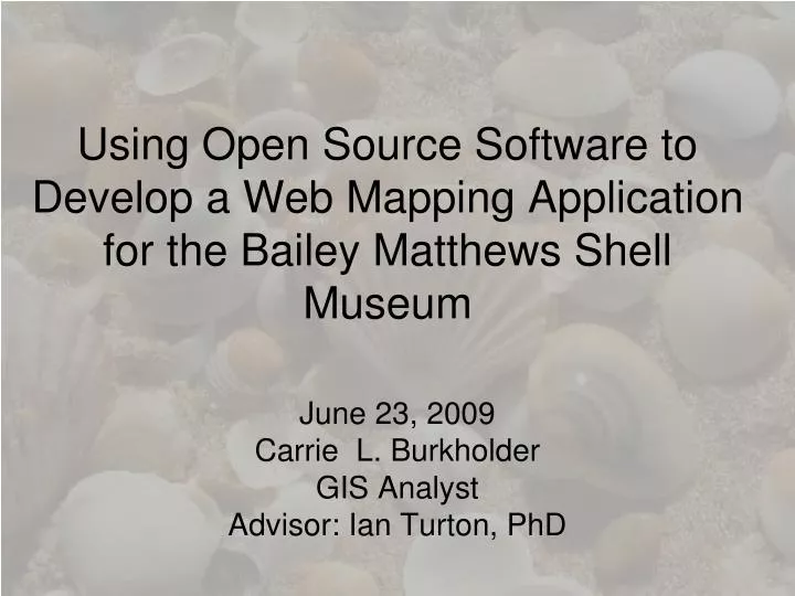
Using Open Source Software to Develop a Web Mapping Application for the Bailey Matthews Shell Museum. June 23, 2009 Carrie L. Burkholder GIS Analyst Advisor: Ian Turton , PhD. Outline. Background & Scope Project Goals Data Sources & Web Mapping Software Methodology Challenges

E N D
Using Open Source Software to Develop a Web Mapping Application for the Bailey Matthews Shell Museum June 23, 2009 Carrie L. Burkholder GIS Analyst Advisor: Ian Turton, PhD
Outline • Background & Scope • Project Goals • Data Sources & Web Mapping Software • Methodology • Challenges • Using GIS Software • Next Steps • Questions
Background & Scope • The Bailey Matthews Shell Museum • Personal History with the Museum • The Current Collections website
Bailey Matthews Shell Museum • Location: Sanibel Island, Florida • Opened in 1995 • Non-profit Museum housing 30 exhibits of mollusks from around the world • Focuses on Southwest Shells
Personal History • Visiting the Island for about 18 years • Background in Biology and studied Mollusks independently • Was invited to volunteer for a day helping to identify species • Used and interacted with the current database
Museum Collections • The Museum encompasses about 150,000 lots of shells from around the world • Volunteers identify and catalogue the shells • Online Searchable Collections Database
What does this data mean? • Where was this specimen found? • Unusable in current format to general public?
Project Goals • Build a Web Mapping Application or Applications that will do the following: 1. Create a searchable online web mapping application 2. Give the user the ability to search the database and click a “Map It” button
Searchable Web Mapping Application • Give the User the ability to type in a location and have the application zoom to that area • Show how many and which species were found in that area • Have the data linked to the Collections database • Create links to the database so the user can see expanded specimen data
Creation of a “Map It” Button Map It!
Data Sources & Web Mapping Software • Bailey Matthews Shell Museum Database • Open Source Software • Geoserver • OpenLayers • Udig • Open Source Clients
Methodology • Standardize the database - site locations - spelling - countries, states, regions • Assign Latitude/Longitude using a series of Geocode Address Locators • Hand Match remaining records
Geocode Address Locators • Used ESRI data as base for both US Cities and States, as well as International • Cities, and Countries • 7,490 records of 18,179 matched for • the Cities/Countries • 4,234 records of 9,665 matched for the Cities/States
How to match remaining records? • Various World Atlas • Websites • Online and print maps • Tourism and Chamber of • Commerce Contacts
Challenges • “Site Unknown” • Data Clusters • Unknown Locations • Account for same named places
Next Steps • Build the Web Mapping Application • Use Udig to get styles, colors, etc. • OpenSource and Geoserver • Link data to the Bailey Matthews Shell Museum collections website • Creating a “Map It” Button • Turn Data over to the Bailey Matthews Shell Museum
Questions? Carrie Burkholder • clw@psu.edu • burky34@verizon.net Special thanks to: • Dr. Jose Leal – Director, Bailey Matthews Shell Museum • Dr. Ian Turton – Academic Advisor