Download
1 / 17
170 likes | 262 Views
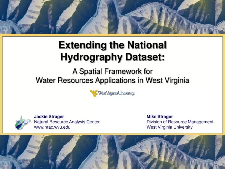
Extending the National Hydrography Dataset: A Spatial Framework for Water Resources Applications in West Virginia. Jackie Strager Natural Resource Analysis Center www.nrac.wvu.edu. Mike Strager Division of Resource Management West Virginia University. Introduction.

E N D
Extending the National Hydrography Dataset: A Spatial Framework for Water Resources Applications in West Virginia Jackie Strager Natural Resource Analysis Center www.nrac.wvu.edu Mike Strager Division of Resource Management West Virginia University
Introduction • NHD as a foundation for water resources analysis in GIS • NHD overview • Applications • Adding information to NHD • Deriving additional data using NHD framework • Additional related datasets
What is the NHD? • National Hydrography Dataset • Nationwide, consistent format • WV NHD includes: • Medium resolution (1:100,000) • High resolution (1:24,000) • Local resolution pilots (1:4,800) * Seminar Thursday AM
Properties of the NHD Route measures 2 miles 1 mile • NHD includes: • Surface water features • Flow model • Route measure model • Extending NHD and related applications: • Adding info: WV state stream codes and names • Derived data: WV segment-level watersheds • Additional data: NHD Plus Direction of flow
Extending the NHD • Extending NHD and related applications: • Adding info: WV state stream codes and names • Derived data: WV segment-level watersheds • Additional data: NHD Plus • Used in applied projects in fisheries, ecological assessments
1. Adding info to the NHD • NHD 1:24,000 flowlines • Added WV state stream names and codes (WVDEP) • Unique reference for each stream as a whole • References state data to streams • All streams have some name, even if NHD has none • Unnamed tributaries named using reference point (River Mile) along mainstem stream
1. Applications: Adding info to the NHD • Mapping WV trout streams • Applying WV codes & NHD stream measures:
1. Applications: Adding info to the NHD • Stream segmenting for crayfish project • 150m segments needed • Statewide, on stream by stream basis Strader Run, South Branch Potomac
2. Derived data from NHD • Segment-level watersheds for WV • Statewide coverage for 24K NHD • Custom tools developed: • Determine upstream watersheds • Cumulatively total watershed variables • Determine distance to upstream features
2. Applications: Derived data • Big sandy examples Upper Little Sandy Cumulative area upstream of abandoned minelands Upper Little Sandy Distance to closest upstream mine permit
2. Applications: Derived data • Application: Mining intensity index (0-100) • Lower Cheat river basin • Function of: • Cumulative area of mining features • Cumulative area of coal seam outcrops
2. Applications: Derived data • WVU Research • Fisheries Management • Mussel distribution modeling (Alison Mynsberge) • Dr. Todd Petty and students • Brook trout conservation (Jason Clingerman) • Landscape-water quality interactions (Eric Merriam) • Temperature model, swim distances (Roy Martin) • Water Quality • Water Research Institute, WVU • Mass-balance water quality model using linked watersheds, cumulative analysis
3. Additional NHD related data: NHD Plus • NHD Plus • Available nationwide at 1:100,000 scale • Includes: • New value-added attributes for streams • Thinner code • Flow • Stream order • Path length • Segment level catchments • Modeling tools (software)
3. Applications: NHD Plus Catchments
Summary • Described in this talk: • NHD, plus WV stream codes, route measures • WV segment-level watersheds • NHD Plus • Allows us to assess the influence of landscape factors on instream water quality and biota • Datasets used in current ecological studies in Cheat, Tygart, Ohio River basins • NHD and segment-based watershed data models provide useful framework for many present and future activities
Related links • Jackie Strager • Natural Resource Analysis Center • West Virginia University • jmstrager@mail.wvu.edu • (304) 293-4832 ext.4455 http://nhd.usgs.gov/ http://www.horizon-systems.com/NHDPlus/