Download
1 / 24
240 likes | 260 Views
World Cultures and Geography. Chapter One – The Geographer’s Toolbox. Bell Ringer January 7, 2019. Page 13 Where is Rio de Janeiro located on the map? Where are most of the cities on the map located? What pattern do you notice?

E N D
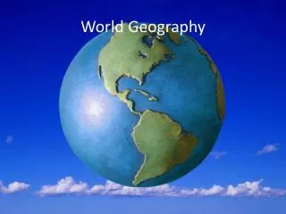
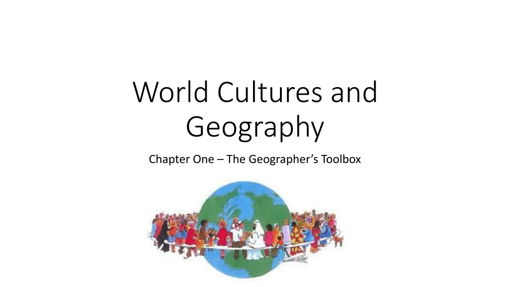
World Cultures and Geography Chapter One – The Geographer’s Toolbox
Bell Ringer January 7, 2019 • Page 13 • Where is Rio de Janeiro located on the map? • Where are most of the cities on the map located? What pattern do you notice? • What are geographic patterns and how do geographers find them? • It is located on the Atlantic coast of Brazil • All are located on bodies of water. • Patterns are similarities between places. They find them by asking and answering questions.
Independent Practice – “You Do” • Page 13 – Main Idea about Geographers • Use Annotation Tool Kit Symbols • Use Concept Tool Symbols
Spatial Thinking • 1.What 4 largest rivers in the US does the map show? • 2. What geographic pattern do 3 of the rivers show? • Missouri, Mississippi, Colorado, and Rio Grande • Mississippi, Colorado, Rio Grande flow into larger bodies of water
Essential Question • How do Geographers think about the World? • In terms of space on earth’s surface • Examine where places are and why they are located there
Bell Ringer January 5, 2018 • Categorize: Decide which of the following is an example of spatial thinking and which is chronological thinking. • When Harry S. Truman became president of the U.S. in 1944, he did not know about the development of the atomic bomb. • In the Northern Hemisphere, hurricanes develop in the Caribbean Sea and often move north onto the mainland of the U.S. • When Christopher Columbus arrived in the Americas, he thought that he had sailed west around the world to Asia.
You Do Activity • Page 14 & 15 Question 2 – Write the Question and answer • Which theme and which element would you use to categorize information about forms of energy? Explain. • Environment and Society because humans can change the environment and use resources • Human-Environment Interaction because people and the environment affect each other.
Bell Ringer January 8, 2019 • Map Lab – Page 17 • Which regions span more than one continent? • Write one geographic question about your region. • Name a physical feature in your region. Does it affect you? Pg.A8 • Russia & the Eurasian Republics, Southwest Asia & North Africa • Sample: Between which oceans is North America located?
Activity January 8, 2019 • Page 18 – Map Lab • What types of industry are located in Germany? What map element did you use to find the answers? (Interpret) • What is the main industry in Southern Germany? Why is it located there? (Inference) • What is the difference between lines of latitude and lines of longitude? • Automobile, coal, and steel industries; the legend and symbols • The automobile industry; it may be located there because of access to river transportation • Lines of latitude: imaginary lines that run east to west around Earth • Lines of longitude: imaginary lines that run north to south
Elements of a Map • Globe: 3 dimensional –spherical representation of Earth • Map: 2 dimensional – flat representation of Earth ( pg 18) • Equator: center line of latitude • Latitude: imaginary lines that run east to west, parallel to the equator • Longitude: imaginary lines that run north to south – measure distance east & west from the Prime Meridian • Prime Meridian: imaginary line of longitude running through Greenwich England. It is 0 degrees.
Hemisphere: half of the Earth – Northern & Southern divided by the Equator. Western and Eastern divided by the Prime Meridian • Scale: shows how much distance on Earth is shown on the map; large scale covering small area; small scale covering a large area • Cartographers – mapmakers • Political Maps: shows features that humans have created, such as countries, states, cities • Physical Map: show natural features including landforms, mountains, valleys, elevation, relief
Bell Ringer • Page 22 – 23 Map Lab • What is the most mountainous country in East Asia? How do you know? • What economic activity would you expect to find on the North China Plain? • What do the locations of Hong Kong, Shanghai, and Tokyo have in common? • China – the land elevation on the map • Agriculture is the most likely economic activity – plain provide land and rivers supply water • All are near the ocean.
Activity • What is similar and different about Greenland on the Mercator Projection and on the Robinson Projection? Why? • What does the Azimuthal projection show about the relative location of Alaska and Russia? • Shapes are similar – but Greenland looks much larger on the Mercator because of the distortion in size due to it being drawn on the latitude and longitude grid • It shows how close they really are to each other
Activity – You Do • Page 20-21 • On the Map of North Carolina, approximately how many inches represent 200 miles? On the Map of the eastern United States, how many miles does one inch represent? • How far is Washington, DC from the southwestern border of Maine? Which map did you use to find the distance? • What geographic pattern do you see in the location of cities in North Carolina? • 1 ¼ inches; 400 miles • About 500 miles; the small-scale map because it shows distances across a large area • Most NC cities are near rivers, which makes transportation & trade easier
Essential Question • How do people use Geography? • People use the tools of geography, maps and globes, to navigate from one location to another
Bell Ringer • Page 26-27 • According to the map, which area of the United States has the most wind farms? • In the Philippines, where are people most at risk for severe earthquakes? What do the places have in common? • The Southwestern U.S. • In the North, near Manila, and on one of the islands west of Cebu. • All of them are near the coast
Chapter One Review • How does a Geographer think about the Earth’s surface? • Spatial Thinking • Similarities among places are called: • Geographic Patterns • Geographic Information System: • Computer Based system used for making maps & analyzing patterns • What would you use to find absolute location? • GPS – Global Positioning System
What is Global Positioning System? • Satellite System used to find Absolute Location • What is Relative Location? • Where a place is in relation to other places • What are Regions in Geography? • A group of places with common traits • What is a Continent? • A large landmass on the Earth’s surface
What is a Terrace on the Earth? • A human-made flat surface cut into a hillside • How do Geographer divide regions? • Common traits and similarities • Elevation: • The height of a physical feature above sea level • Equator: • The center line of latitude
Hemisphere: • Half of the Earth • Map Projection • A Way of showing Earth’s curved surface on a flat surface • Longitude: • Imaginary lines that run from the North Pole to the South Pole • Map Scale: • Distance shown on a map
Locator Globe: • Specific area on the globe shown on the map • Compass Rose: • Directions North, South, East, West • Large Scale Map: • Map zoomed in to show details – street names, buildings, etc. • Thematic Map: • Maps focused on a specific topic