Download
1 / 32
320 likes | 410 Views
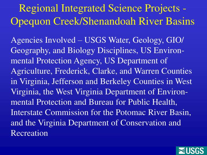
Regional Integrated Science Projects -Opequon Creek/Shenandoah River Basins.

E N D
Regional Integrated Science Projects -Opequon Creek/Shenandoah River Basins Agencies Involved – USGS Water, Geology, GIO/ Geography, and Biology Disciplines, US Environ-mental Protection Agency, US Department of Agriculture, Frederick, Clarke, and Warren Counties in Virginia, Jefferson and Berkeley Counties in West Virginia, the West Virginia Department of Environ-mental Protection and Bureau for Public Health, Interstate Commission for the Potomac River Basin, and the Virginia Department of Conservation and Recreation
Historically water-quality issues have been the dominant concern in the region but recent increases in population and associated economic development have caused a shift in interest to issues related to water availability.
Legacy Investigations • Bieber, 1961, Hydrogeologic investigation of Jefferson and Berkeley Counties, WV • Hobba et al, 1976 and 1981, Water quality assessments of Berkeley and Jefferson Counties, WV • Kozar et al, 1991, follow up water quality investigation and tracer test studies Jefferson County, WV • Shultz et al, 1995, follow up water quality investigation and tracer test studies Berkeley County, WV • Wright et al, 1990, hydrogeologic and water-quality investigation of Clarke County, VA • Mathes et al, 2000, investigation of septic impacts to ground water in Berkeley County, WV
Recently Completed Investigations • USGS WV WSC (COOP Funds) - Berkeley and Jefferson County fracture trace/lineament analysis projects. • USGS WV WSC (COOP Funds) - Opequon Creek and Jefferson County baseflow seepage surveys. • Leetown Hydrogeologic Assessment (Federal funds) - Refined the conceptual model of karst ground- water flow in the region - Ground-water flow model developed for the Hopewell Run watershed. - Served as a methods development laboratory with transfer potential to the broader Great Valley.
Recently Completed Investigations – Ground-Water Flow Models • NRP (GWRP) – Richard Yager, Ithaca NY Shenandoah Valley ground-water model at a scale of approximately 3,000 square miles. • USGS WV/VA WSC (COOP/Eastern Region funds) Opequon Creek ground-water model at a scale of approximately 300 square miles. • USGS WV WSC (Federal funds) Hopewell Run watershed ground-water flow model at a scale of 20 square miles.
Geologic map of part of Berkeley County, WV showing fracture traces (red lines) and well yields (blue dots).
Polar plot of fractures for a deep well in the Leetown area, WV Rose diagram of fractures for Wells in the Leetown area, WV
Ground-Water Component of Streamflow *Base flow (ground-water discharge) can account for up to 90% of streamflow during drought conditions.
Ground-Water Component of Streamflow 2003-05 Drainage area: 11.2 mi2
Shenandoah Valley Ground-Water Flow Model - Richard Yager, Ithaca NY • Tested effect of steeply dipping structure and other variables on simulations of ground-water flow
On-Going Investigations • The USGS Geologic Discipline is continuing geologic mapping and AMT surface geophysics studies in the region. • Funds from the USGS Eastern Region continue to fund research by USGS NRP scientists. • Niel Plummer - age dating of ground water. • Allen Shapiro - investigating fracture flow processes in karst. • John Lane – testing new surface geophysical techniques for assessing karst aquifers.
On-Going Investigations - Continued • Hydrogeologic Investigations in Clarke, Frederick, and Warren County Virginia are continuing. • USGS COOP projects have funded numerous gaging stations and monitoring wells in the region. • Funds from the USGS Eastern Region also continue to support ground-water modeling efforts in the Opequon Creek watershed.
Data presented in this table is preliminary and subject to revision
Data presented in this table is preliminary and subject to revision
Challenges We Face • Data – At present there is a lack of data for development of quantitative transient ground-water flow models. • Additional Data Needs – a) Determine depth of active flow, b) collect synoptic water-levels and streamflow data, c) determine aquifer storage, and d) continue to investigate conduit and fracture flow interactions.
Future Plans • Continue research to better understand mechanisms controlling ground-water flow. - Ground-water flow at depth - Conduit and fracture-flow interactions • Collect additional streamflow/water level data for model calibration. - Additional stream gages/monitor wells being installed. - Synoptic water level measurements at different hydrologic conditions. • Develop transient ground-water flow models of the Opequon Creek and Shenandoah Valley (Front Royal north to the Potomac River) watersheds.