Download
1 / 14
140 likes | 246 Views
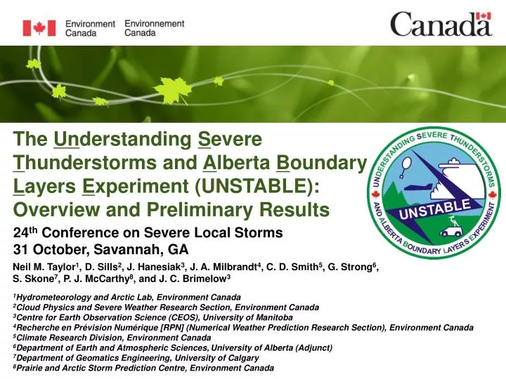
The Un derstanding S evere T hunderstorms and A lberta B oundary L ayers E xperiment (UNSTABLE): Overview and Preliminary Results. Neil M. Taylor 1 , D. Sills 2 , J. Hanesiak 3 , J. A. Milbrandt 4 , C. D. Smith 5 , G. Strong 6 , S. Skone 7 , P. J. McCarthy 8 , and J. C. Brimelow 3

E N D
The Understanding Severe Thunderstorms and Alberta Boundary Layers Experiment (UNSTABLE): Overview and Preliminary Results Neil M. Taylor1, D. Sills2, J. Hanesiak3, J. A. Milbrandt4, C. D. Smith5, G. Strong6, S. Skone7, P. J. McCarthy8, and J. C. Brimelow3 1Hydrometeorology and Arctic Lab, Environment Canada 2Cloud Physics and Severe Weather Research Section, Environment Canada 3Centre for Earth Observation Science (CEOS), University of Manitoba 4Recherche en Prévision Numérique [RPN] (Numerical Weather Prediction Research Section), Environment Canada 5Climate Research Division, Environment Canada 6Department of Earth and Atmospheric Sciences,University of Alberta (Adjunct) 7Department of Geomatics Engineering, University of Calgary 8Prairie and Arctic Storm Prediction Centre, Environment Canada 24th Conference on Severe Local Storms 31 October, Savannah, GA
27-32 > 32 Canada’s Population Density (2006) 22-26 UNSTABLE Rationale Existing real-time surface observations over a region of the AB foothills
Red Deer Secondary Domain Targeting Storm Evolution 15km Spacing Primary Domain Targeting Storm Initiation 25km Spacing Calgary ExperimentalDesign UNSTABLE Goals • Improve understanding of ABL processes and CI • Improve accuracy and lead time for warnings • Assess utility of high-res NWP to resolve processes and provide guidance • Revise conceptual models for CI and severe wx 3 Main Science Areas • ABL moisture and convergence boundaries • Surface processes (heat flux) • High resolution NWP model forecasts of CI and severe weather
MARS Trailer (AERI, WV Radiometer, Radiosondes, Cloud Base Temp.) WMI aircraft w/ AIMMS-20 Instrument Package (T, P, RH, 3-axis wind & acceleration) CRD Mobile Radiosonde Trailer and Interior Special Instrumentation Tethersonde Balloon AMMOS Tethersonde ATMOS (Automated Mobile Meteorological Observation System) (Automated Transportable Meteorological Observation System)
Indications of moisture gradient and convergence Science Question 1 (Taylor and Sills)2000 UTC 13 July 2008Existing Stations Td (°C) 50 km
Indications of a convergence boundary with Td difference 8.4 °C over 10.3 km (0.8 °C km-1) Science Question 12000 UTC 13 July 2008Fixed Stations Td (°C) 50 km
40 km Science Question 12000 UTC 13 July 2008Mobile Stations • Delineation of the boundary enhanced by addition of mobile observations • From AMMOS overall moisture difference of 8.7 °C over 0.5 km (16.8 °C km-1 or 7.2 g kg-1 km-1) • Aircraft and other data undergoing analysis Td (°C) Td (°C)
Strongest Td change 4.8 °C over 179 m (26.9 °C km-1) Science Question 120:48:02 Z to 20:48:38 Z AMMOS 6 6 7 6 8 5 • Two-second sample observations • Transect nearly perpendicular to orientation of boundary • Embedded dewpoint change of 4.8 °C over 179 m (26.9 °C km-1 or 11.0 g kg-1 km-1) • Boundary traversed by multiple vehicles with similar moisture gradients 4 8 3 2 7 1 6 518m 0 6 6 4 5 0 2 1 3
Evidence of elevated residual layer of warm air from dry side of boundary ~ 3700 m AGL dry and warm ABL with westerly wind ~ 1400 m AGL moist and cool with veering winds and cap ~ 700mb Science Question 1 00 UTC MB1 and MB2 Radiosondes 00Z MB1 and MB2 Soundings
16 UTC Soundings - MB1 and MB2 Research Flight Tracks 20 July 2008 600 700 750 800 850 Potential Temperature and Mixing Ratio from Research Flight at ~ 1400 m ASL Forest Crops Science Question 2 (Hanesiak)20 July 2008 Crops vs. Forest Crops MB2 Forest MB1
Real-time 2.5-km limited-area forecast runs are produced daily by Environment Canada Nested 1-km runs were performed daily from June 1 – August 31, 2008 for a special grid over the UNSTABLE domains Standard and experimental forecast fields available via website each morning Images and model data archived for future analysis and comparison to data collected during the UNSTABLE IOP Science Question 3 (Milbrandt)Nested 1-km LAM Runs Td + WINDS Surface Dewpoint and Wind Synthetic Reflectivity
And Finally…. In Conclusion…
Thank You! Photo courtesy Heather Rombough