Download
1 / 38
380 likes | 385 Views
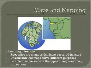
Why do you use maps?. Think of 5 reasons that you would need a map (so I know where I am going is not an answer I want you to have on your list.). How do you distinguish between different types of maps?.

E N D
Why do you use maps? Think of 5 reasons that you would need a map (so I know where I am going is not an answer I want you to have on your list.)
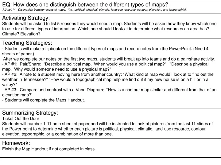
How do you distinguish between different types of maps? SS. Standard: 7.3.spi.14. Distinguish between types of maps. (i.e., political, physical, climatic, land-use resource, contour, elevation, and topographic).
Political Maps • Usually colored by country or by state • Political colors make it easy to compare size, shape, and location • Bold letters often make the country names stand out • Symbols make it easy to tell capitals from other cities • Political maps also name certain physical features, such as rivers and lakes
Physical Map • Has colors that make natural patterns stand out • The colors on the map can stand for types of vegetation, mountain, and natural features • Names of big natural features are easy to see • Physical maps also include some political information, such as boundaries
Pair/Share • 1’s tell 2’s • Describe a political map. • When would you use a political map? • 2’s tell 1’s • Describe a physical map. • Why would someone need to use a physical map?
Climate Map • The climate of a place is the weather it has season by season, year after year • Rainfall and temperature are climate’s main ingredients • Climate is affected by elevation, distance from the ocean, and latitude
Land Use Resource Map These maps show how land is being used. This might refer to: • vegetation • crops being grown • forest vs. Agriculture • mines and wells • city zoning
Topographic Map These maps generally represent a small area with a lot of detail. They show elevation with contour lines, natural and man-made features.
A new student is moving to Tennessee and is curious about a few things. Please write him a one paragraph letter answering his questions. How would a topographical map help me find out if my new house is on a hill or in a valley? • What kind of map would I look at to find out the weather in Tennessee?
Contour maps Contour lines represent the elevation at that line. If you were to walk across a line, you are changing elevation.
Elevation Maps Maps that show elevation change by using color or shading.
What is the average elevation of most of our state? Elevation Map
How is a contour map similar and different from that of an elevation map? Contour map Elevation map
1. Elevation and/or Physical 2. Political 3. Physical 4. Elevation and/or Physical 5. Climatic 6. Topographical 7. Contour 8. Political 9. Elevation and/or Physical 10. Contour 11. Land-use resource map