Download
1 / 7
90 likes | 286 Views
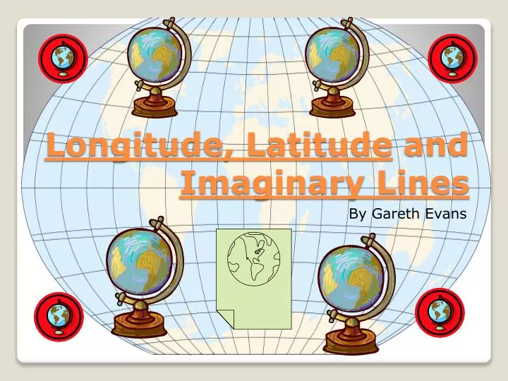
Longitude, L atitude and Imaginary Lines. By Gareth Evans.

E N D
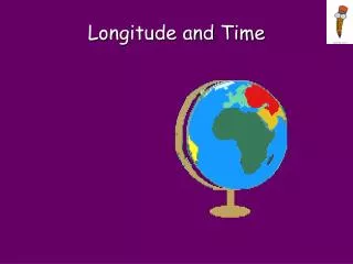
Longitude, Latitude and Imaginary Lines By Gareth Evans
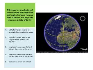
* Latitude is some times denoted by the Greek letter phi gives the location of a place. It is the lines that basically divide the world from North and South. The latitude lines run from East to West. The middle line is called the Equator at 0 degrees. The imaginary lines are labeled with degrees. The North and South poles are 90 degrees from the Equator. Latitude
* Longitude is identified by the Greek letter lambda which is the geographic coordinates. Longitude lines separate the East and the West by running North to South. The middle line is called the Prime Meridian is at 0 degrees too. On the other side of the world, there is an imaginary line called the International Dateline. Longitude
Equator * The Equator is an imaginary line that runs East to West. It cuts through the middle of the Earth and is perpendicular to the Earth’s axis. The capitalized term Equator refers to the Earth's equator. The Earth is divided into North and South hemispheres by this imaginary line. Equator
The Prime Meridian is at 0 degrees just like the Equator. It goes through the Earth vertically to cut the Earth in half the other way. It separates the East and West by running North to South. By international convention, the modern Prime Meridian passes through the Royal Observatory. The Eastern and Western hemispheres are divided by this imaginary line. Prime Meridian
The international dateline is another imaginary line that passes through the Earth on the other side of the Prime Meridian. It passes through the Pacific ocean while the Prime Meridian passes through the Atlantic. It is at 180 degrees on the Earth. When you pass it feels like you lost or gained a day. International Dateline
Wikipedia.org • Teachers • Laptops • Microsoft power point • knowledge • Thank you