Download
1 / 23
270 likes | 472 Views
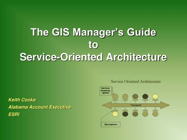
The GIS Manager’s Guide to Service-Oriented Architecture. Keith Cooke Alabama Account Executive ESRI. What is an Enterprise ?. An enterprise is an organization or community of interest tasked with supporting a defined mission.

E N D
The GIS Manager’s GuidetoService-Oriented Architecture Keith Cooke Alabama Account Executive ESRI
What is an Enterprise? • An enterprise is an organization or community of interest tasked with supporting a defined mission. • An enterprise consists of all the people, processes and systems within an organization. • Successful enterprises enable ready exchange of appropriate information Alabama GIS Symposium
Characteristics of Enterprise Technology • Regarded as key to mission achievement • Scalable, extensible, reliable and secure • Open, interoperable and standards-based • Capable of being effectively integrated within the enterprise • May be complex to implement--requires significant planning and support • Delivers a high return-on-investment Alabama GIS Symposium
A GeoCentric Enterprise • Enterprise GIS based on geocentric workflows • Facilities and asset management • Land records management • Essential to achieving business objectives • Generally multi-department and integrated with other enterprise systems Alabama GIS Symposium
Geospatially-Enabled Enterprise • Enhancing enterprise systems with geospatial capabilities • Work Management • Business Intelligence • Supply chain • GIS as IT infrastructure • Infusing geographic intelligence (maps, analysis, data) into other applications • Requires a standards-based GIS with a high level of interoperability Alabama GIS Symposium
GIS Is Being Used to Build Information SystemsSupporting Many Workflows and Application Domains Cadastral Information System Image Information System Facility Management System Cartographic Information System • Information Systems for • Natural Resources • Land Use Planning • Transportation Logistics • Land Management • Business Analysis • Geospatial Intelligence • Defense • Visualization • Scientific Analysis • Public Safety • Imagery • Cartography • Asset Management Business Analysis System Alabama GIS Symposium JD-UC2007 Plenary 6
The Web Provides a New Pattern for Implementing GISBecoming a New Platform • Supporting • Collaborative Computing • Service Integration (Mashups) • User Contributed Content • Distributed Data Management GeoWeb Distributed Collaboration Map Services • Many Participants • Interconnected • Interoperable • Integrative • Dynamic Web 2.0 Web 1.0 . . . An Agile Framework for Collaboration & Integration of Systems Alabama GIS Symposium JD-UC2007 Plenary 7
Soon We’ll Be Fusing EverythingProviding New Possibilities for Sharing, Integrating and Using Web Users GIS Users Sensor Network (GRSS) + + Georeferenced Content GIS Servers Base Maps & Globes • Creating Mashups among GIS Servers • Integrating Consumer Basemaps with GIS Data • Publishing GIS Services into Consumer Viewers • Integrating Georeferenced Web Content(Geo-RSS, Photos, Documents . . . ) Google Microsoft ArcGIS Integrating Professional GIS with Everything on the Web . . . Extending the Geographic Approach Alabama GIS Symposium JD-UC2007 Plenary 8
ArcGIS ServerComplete Server-Based GIS Open APIs Mobile Enterprise Environment Explorer Desktop Web Map Viewer Use Serve ArcGIS Server • Mapping • 3-D Visualization • Modeling & Analysis • Data Management Author Making GIS Knowledge Available To Anyone . . . . . . Integrates With Other Systems Via Standards Alabama GIS Symposium JD-UC2007 Plenary 9
ArcGIS Desktop ArcGIS Explorer WebMap Applications ArcGIS Mobile ArcGIS Server 9.2 Summary • Complete and Integrated server-based GIS • Out-of-the-box applications and services • Rich developer opportunities Spatial Data Management .NET Mapping and Visualization Java Spatial Analysis ArcGIS Server Alabama GIS Symposium
GIS Server Sharing Geographic Knowledge Across Your Organization Non-traditional and Mobile GIS Users IT Professionals Developers GIS Professionals Alabama GIS Symposium
Enterprise GIS GIS Is Deployed In Many Ways Distributed Centralized Traditional File Based Emerging Alabama GIS Symposium
SOA Infrastructure • Connects Service Consumers with Service Providers • May be used to communicate with Service Directories • May be implemented using a variety of technologies Alabama GIS Symposium
Enterprise SOA Framework • Clients • Multi-Channel Access • Types of Applications • Client Apps • Web Applications • Web Services • Data Sources (Producers) • Unifying Components • Web Portals • Common Viewing Interface • ESB • Common Messaging Framework • Objects • Common System Components • Different Communication Paths may be utilized Alabama GIS Symposium
GIS SOA Components Alabama GIS Symposium
How does ESRI fit into SOA? Alabama GIS Symposium
SOA - GIS Functional View Use Serve Author Alabama GIS Symposium
Integration Platform ArcGIS Server: Enterprise Integration Desktop Browser Mobile Clients J2EE, .NET (SOAP/XML) GIS EAM ERP CIS Application Servers EIS Data Servers Alabama GIS Symposium
SOA - GIS Functional View Use Serve Author Alabama GIS Symposium
Who are the consumers? • What are the questions they need to answer / problems to solve? • Do I really understand their workflow? • What data / services do they need? • What is their level of technical expertise? • Will their needs grow and/or change? • Will initial success generate more consumers? • Will they all be within your organization? Getting Started –Understanding your audience.
What are my resources? • Do I have the data required by the consumer(s)? • Is my IT infrastructure (servers, clients, and bandwidth) adequate to deliver services effectively to consumers? • Will it be adequate if/when usage increases? • What priority do I designate to each group of consumers? • What training will the consumers need? • Can I do it? • What training will I need? • Is my time best spent with implementing this internally or outsourcing all or some of the work? Getting Started –Understanding your abilities.
ESRI Instructor-Led Training • Introduction to ArcGIS Server • ArcGIS Server Enterprise Configuration and Tuning • SQL or Oracle • Developing Applications in ArcGIS Server Using the Microsoft .NET Framework • ESRI Virtual Campus • Authoring and Publishing Geoprocessing Services • Authoring and Publishing Optimized Map Services Training Resources
Questions?Keith CookeAlabama Account ExecutiveESRIkcooke@esri.com