Download
1 / 27
270 likes | 437 Views
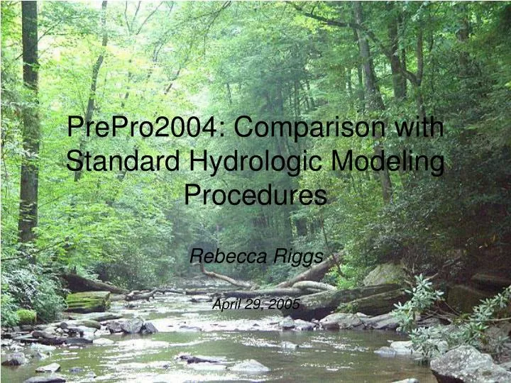
PrePro2004: Comparison with Standard Hydrologic Modeling Procedures. Rebecca Riggs April 29, 2005. Hydrologic Modeling. The use of physical or mathematical techniques to simulate the hydrologic cycle and its effects on a watershed

E N D
PrePro2004: Comparison with Standard Hydrologic Modeling Procedures Rebecca Riggs April 29, 2005
Hydrologic Modeling • The use of physical or mathematical techniques to simulate the hydrologic cycle and its effects on a watershed • Most commonly used to simulate stormwater runoff in a watershed
HEC-HMS • US Army Corps of Engineers Hydrologic Modeling System • Used to electronically simulate precipitation-runoff processes of dendritic watershed systems • Outputs include peak flows and runoff hydrographs • Outputs used directly or in conjunction with other programs
3 Components of HMS • Basin Model Watershed Parameters • Meteorologic Model Precipitation and Evapo-transpiration Parameters • Control Specifications Start and End Date/Time of Simulation
Basin Model • Watershed parameters: sub-basins, reachs, junctions, sources, sinks, and reservoirs • Commonly data is derived from contour maps (USGS or survey data), land use maps, and soil maps • Tedious and time consuming
PrePro2004 • A GIS pre-processor which extracts hydrologic information from spatial data for HMS modeling • Add-in tool in Arc-GIS interface • Much faster than conventional methods for calculating basin model parameters
Study Area • College Station, Texas • Castlegate Subdivision • Spring Creek, before confluence with Lick Creek
PrePro2004 Basic Steps • Gather data • Fill sinks, create FDIR grid, create FACC grid • Construct stream network • Add inlet, outlet, and/or reservoir • Delineate watershed • Extract HMS elements • Calculate parameters • Calculate curve numbers • Export data to IDM • Export IDM to HMS • Setup HMS project
1. Gather Data • DEM, stream vector data, mask grid, soils vector or grid data, land use vector or grid data • DEM source: USGS seamless • Soils and land use (zoning) from COCS • Stream vector data from US EPA Lower Brazos arc data
2. Fill sinks, create FDIR grid, create FACC grid • Fill: Cell elevation raised to lowest surrounding cell elevation • FDIR: Flow direction grid • FACC: Flow accumulation grid
3. Construct Stream Network • Chose cell threshold = stream drainage area
6. Extract HMS Elements • Under Vectorization tab in Watershed Delineation tool • Creates shapefiles to be directly imported to a target geodatabase • Elements include watershed, reach, junction, source, and reservoirs • Following element extraction can merge basins, but this was not selected in this project
7. Calculate Parameters • Generates longest flow path for each sub-basin, HMSCode, and extracts slope and elevation data from DEM • Data stored in ‘watershed’ and ‘reach’ layers
8. Calculate Curve No. • Need soils data, land use data, watershed data (previously created), and CN lookup table
Curve No. Continued • Vector data was used, but raster data could be used if available • Soils data was given by individual HSG, not a % of each • Zoning was used for land use, then equated to the NLCD land use codes manually • After calculating CN and impervious cover are stored in the ‘watershed’ layer
9. Export Data to IDM • Prior to this step gage weights can be calculated, a frequency storm is used in this project so gage weighting was skipped • Exports data from previous steps to project and basin geodatabases (preferably empty) • Following this step time of concentration for each subbasin is calculated (Calculate Parameters)
10. IDM to HMS • Creates input files for HMS from data stored in basin geodatabase • Basin file • Meteorologic file (if gage data is used) • Must propogate fields with chosen methods for loss rate, transform, and routing
11. Import to HMS • Import basin and meteorologic files into HMS • Import background map and grid data
Basin Comparison PrePro2004 Hand Delineation
Comments • The sub-basins would have been more similar had I added more user defined outlets • Time savings is huge • Good for large scale projects, but difficult to accurately define watersheds with tool on small scale (development scale)