Download
1 / 36
360 likes | 539 Views
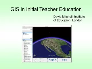
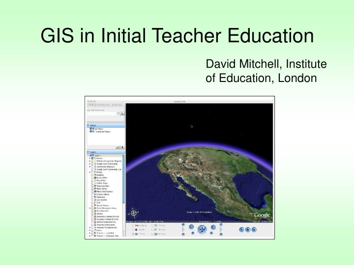
GIS in Initial Teacher Education . David Mitchell, Institute of Education, London. What do we mean by GIS? Should we be embracing GIS? GIS and the PGCE course GIS and the GA. What does GIS mean?.

E N D
GIS in Initial Teacher Education David Mitchell, Institute of Education, London
What do we mean by GIS? • Should we be embracing GIS? • GIS and the PGCE course • GIS and the GA
“…a digital map, data located on the map, and a software application (GIS) that links the two together” Diane Freeman (2004)
We do not wish to fall prey to technocentrism, the justification for the use of technology because of the so called Mount Everest rationale—we use it “because it is there” Bednarz and Ludwig, (1997)
1. The Educative Justification Sarah Witham Bednarz (2001) • Many argue that GIS helps students to learn geography by practicing spatial thinking
Spatial Thinking Skills Adapted from Bednarz (2001)
“Cognitive maps are the store of knowledge an individual has about environments organised as internal models of the world. Cognitive maps are the basis of both spatial and non-spatial decision-making.” “It has been suggested that cognitive maps are an internalised geographic information system.” Bednarz (2001)
GIS in school improved cognitive mapping improved spatial thinking Improved decision-making improved geography learning …but more research needed to explore the claim that GIS improves cognitive mapping & spatial thinking skills
2. The Workplace Justification: GIS as an Essential Skill • “knowledge workers” able to collect data, calculate and analyse data, and communicate knowledge ….but should this drive GIS in schools?
“…we need to make a strong geographic and pedagogic case for or against GIS/GISci” • “We do not need to join a technology-driven-workplace-oriented crusade on behalf of GIS/GISci unless we are convinced that it is in the best interests of students and their personal, social, and spatial development.” Sarah Witham Bednarz (2001)
Barriers to GIS in schools Clear pedagogic & geographic rationale Access to hardware/ software/ data Training resources Curriculum space & priorities
Case of the IOE, Londona) ICT assignment • Find opportunity for geographical enquiry in the curriculum using GIS (should have important human implications e.g. hazard, urban planning issue) • Plan a sequence of 2-3 lessons using GIS • Evaluate how the ICT (through GIS) affected the geographical learning and the learning of generic skills (including ICT skills)
b) GIS support & resources for students • Teaching sessions, aegis, arcview, infomapper & free web GIS viewers, used to support enquiry learning • Free trial periods with AEGIS & infomapper, to partner schools • ICT observation days in partner schools (currently these are not exclusively GIS focused)
“Train the Trainers” Ordnance Survey • Nov 17, 2005…an annual event? • GA website • Support from GIS providers • Discussion forum
In conclusion… Should GIS be seized by beginning teachers to re-state the power of Geography in school?