Download
1 / 15
150 likes | 283 Views
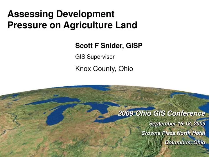
2009 Ohio GIS Conference September 16-18, 2009 Crowne Plaza North Hotel Columbus, Ohio. 2009 Ohio GIS Conference September 16-18, 2009 Crowne Plaza North Hotel Columbus, Ohio. Assessing Development Pressure on Agriculture Land. Scott F Snider, GISP GIS Supervisor Knox County, Ohio.

E N D
2009 Ohio GIS Conference September 16-18, 2009 Crowne Plaza North Hotel Columbus, Ohio 2009 Ohio GIS Conference September 16-18, 2009 Crowne Plaza North Hotel Columbus, Ohio Assessing Development Pressure on Agriculture Land Scott F Snider, GISP GIS Supervisor Knox County, Ohio
Knox County at a Glance • 527 square miles • 54,500 est. population • 100 people per square mile • (Ohio = 281 people/sq mi) Source: US Census Bureau • Land Use/Land Cover • Cropland: 43.68% • Pasture: 12.73% • Forest: 39.09% • Urban: 3.54% • Other: 0.96% Source: Ohio Dept of Development, County Profile
Knox County Agriculture at a Glance • Agricultural Profile • 205,000 acres in 1220 farms • 168 Acre average farm size • $66,001,000 annual cash receipts • $54,099 annual per farm Source: Ohio Dept. of Development County Profile
Ohio Department of AgricultureAgriculture Easement Purchase Program (AEPP) Overview • Purpose is to protect agricultural land from development across the state. • Participation is voluntary on farmer’s part. • Attempt to protect land in large tracts, not just protecting for the • Clean Ohio Fund • Typically $3million - $4million annually used to purchase easements • 2009 anticipated at $6.25million • Maximum: $2000/acre and $500,000/farm
Tier One Scoring Criteria • Proximity to Existing Easement Protected Land, Non-easement Protected Land, and other AEPP Applicants (with exemption for large farms) • Proximity to Sewer access, Water access, Road Intersections • Road Frontage, Housing Density • “Other” Factors, Historic Designation, Century Farms, ASA, Etc. • Local Government Comprehensive Plan • Soil Type Productivity
GIS Surrogates for AEPP CriteriaProximity to Protected Land • It is important to protect larger areas of land, AEPP scores a maximum of 7.5 points for proximity to Easement Protected Properties. • Properties Include: • Previously accepted AEPP land • Conservation Easement land
GIS Surrogates for AEPP CriteriaProximity to Protected Land (cont.) • AEPP scores a maximum of 2.5 points for proximity to Non-Easement Protected Properties. • Properties Include: • Parks • Reservoirs • Well Fields • Airports • Other factors not addressed: • Large farms 350+ac • Other applicant farms each funding year
GIS Surrogates for AEPP CriteriaAccess to Infrastructure • Access to Public Sewer (5pts max), Public Water (3pts max), & Major Road Intersections (2pts max) • Not Addressed: • Road Frontage • Housing Density
GIS Surrogates for AEPP Criteria“Other” Factors • Many of the “Other” factors were not addressed because they are either specific to each individual property or are applied to all properties in Knox County. • Metropolitan Statistical Area = Knox is “Adjacent” 1.5pts for all • Enrollment in Agricultural Security Area = Voluntary per farm • Historic Designation = State Registry of Historic Sites • Repeat Application = Specific to Individual Farms • Recent Land Use Conversion = Hard to monitor for recent splits • Many of these also do not pertain to assessing the pressure of development, so the loss of this portion of the assessment was deemed to be acceptable.
GIS Surrogates for AEPP CriteriaComprehensive Planning • The CP was used to apply points for land that is designated for agricultural use. • CP Future LU Map • Recreation of FLU Map in GIS
GIS Surrogates for AEPP CriteriaSoil Type Productivity • Soils classified as: • Prime • Locally Important • Poor • Soil Productivity accounts for 1/5 total points. • Instead of attempting complex calculation, we penalized poor soils 20% of point total.
ResultsRaster Calculator • (Prox Protected + Prox Semi-prot + Water Avail + Sewer Avail + ODOT Proximity + CP Ag Delineated) * Soil Modifier
ResultsRaster Calculator • (Water Avail + Sewer Avail + ODOT Proximity + CP Delineated Ag) * Soil Modifier
Potential Uses of Project • Future applications to AEPP • Updates to County Comprehensive Plan • County level Agricultural Protection Program • Depends on availability of funding • General education about AEPP • County Fair, Festivals, Newspaper, etc.
Questions or CommentsPlease Contact: Scott F Snider, GISP GIS Supervisor Knox County Map Department scottsnider@co.knox.oh.us 740.393.6754