Download
1 / 20
200 likes | 343 Views
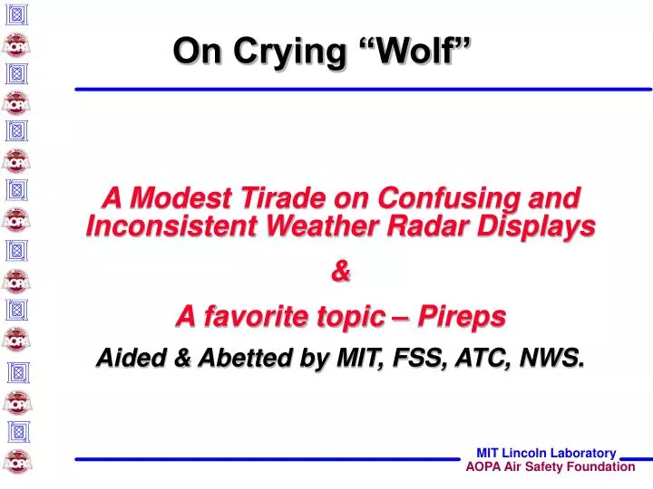
On Crying “Wolf”. A Modest Tirade on Confusing and Inconsistent Weather Radar Displays & A favorite topic – Pireps Aided & Abetted by MIT, FSS, ATC, NWS. Storm Depiction. Ground radar (data link): less attenuation enhancements displays differ greatly Airborne radar:

E N D
On Crying “Wolf” • A Modest Tirade on Confusing and Inconsistent Weather Radar Displays • & • A favorite topic – Pireps • Aided & Abetted by MIT, FSS, ATC, NWS.
Storm Depiction • Ground radar (data link): • less attenuation enhancements displays differ greatly • Airborne radar: • storms near flight altitude.
Pilot Understanding: • TSTM types = bad, worse, impossible! • How radars Characterize • What does it all mean?.
NEXRAD / WxR Correlation Ground Radar NEXRAD Cell Airborne Radar Rockwell/NASA April 3, 2002.
What Color is your sky? Life is good Bring your umbrella I’m payin’ attention Not this way!! No way, José!!!.
0 10 20 km "Cumulus" "Mature" "Dissipating" 12 9 Height (km) 6 3 Time (min) 0 5 10 15 20 25 30 35 Radar Data Storm Life Cycle. • Diurnal forcing • Short-lived • Disorganized Water Content 0 10 20 30 min Convective Models Isolated or “Airmess”
Radar Data Storm Life Cycle 14 • Large scale forcing • Long-lived • Organized 12 Storm Motion –40°C 10 –20°C 8 Height (km) S N 6 –0°C Water Content 4 2 0 –4 –18 –16 –14 –12 –10 –6 0 2 4 6 –8 –2 Distance Ahead of Outflow Boundary (km) 0 2 4 6 8 hr Convective Models Multi-Cell or “Line” Storms Really Bad
Linearly Organized Embedded Unorganized Cellular Convective Complex Convective Weather Organized v. Unorganized Unorganized Organized
Convective Weather Relative Frequency Total Storm Events per ARTCC May – Aug 2003 ZBW ZAU ZOB 93 11 ZID 119 55 139 42 19 98 ZNY ZDC Unorganized Convective Events 151 59 151 59 Organized Convective Events 167 41 167 41
"Cumulus" "Mature" "Dissipating" 12 9 6 3 Time (min) 0 5 10 15 20 25 30 35 What Does Radar Measure? Airborne radar at 60 nm measures ± 2-6 km at a/c altitude
What Does Radar Measure? Ground radar measures entire storm profile 0 Time (min) 15 What intensity to report?
CIWS VIL ETMS CIWS Echo Tops Map Squall Line 23 Sept 2003 VIL= Vertically Integrated Liquid Max composite reflectivity Yellow = 30 kft
Other Issues • ATC Storm depiction • Major terminal: ASR-9 • Smaller: None / composite NEXRAD • Enroute: max composite reflectivity from NEXRAD • Update rates • Airborne: very high • Terminal: 30 seconds • En route: 1- 5 minutes • Data link: Depends. “Where IS that update?”
Other Issues • Quality of WX depiction • Ground clutter • ATC ground • datalink Attenuation • airborne only.
Summary • Storm depictions • Differ significantly • Pilot training needed • Storm examples • Display differences (airborne, datalink) • Ideal product • integrated ground based radar plus • high quality echo tops plus • high quality forecasts • Need “consumers report.”
What does it take? • NWSwants Pireps • ATC wants Pireps • FSSwants Pireps • Pilotsneed Pireps • The rules require it !!!!! • But…….
Still talking after all these years….. • The “System” can be very clumsy. • Time availability? • Workload? • Communications? • 77 fatal GA WX accidents in ’00 -01.