Download
1 / 30
300 likes | 477 Views
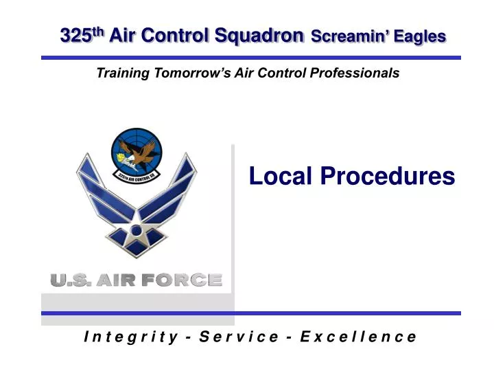
Local Procedures. OBJECTIVE. Identify Procedures for Conducting Simulated Missions. OVERVIEW. Acronyms Local Airspaces and Procedures. ACRONYMS. PAM - Tyndall AFB MCF - MacDill AFB VPS - Eglin AFB EMC - Eglin Mission Control WRB - Warner Robbins JAX - Jacksonville ATC.

E N D
OBJECTIVE • Identify Procedures for Conducting Simulated Missions
OVERVIEW • Acronyms • Local Airspaces and Procedures
ACRONYMS PAM - Tyndall AFB MCF - MacDill AFB VPS - Eglin AFB EMC - Eglin Mission Control WRB - Warner Robbins JAX - Jacksonville ATC
LOCAL AIRSPACE • W470 Complex • W151 Complex • Carrabelle • E’Moa • Compass Lake
W470 COMPLEX PRAUN t ACMI EXTENSIONS W470 A/1 OYSTER 6 T H U N D E R W470A W470A/2 t TROUT BAITE t W470B/1 W470B W470B/2 W470D SNAPPER 6 t RUFF t W470C W470 C1 W470E W470 C2 L I G H T N I N G t W470 F
W470 A/ACMI t PRAUN ACMI EXTENSIONS t OYSTER W470 A1 Thunder Corridor W470A W470 A2 t TROUT NORTH CORRIDOR BAITE t
W470A ALTITUDE • W470A Surface - FL 600 • ACMI Extensions : East Surface - FL600 West 5K – FL 600
W470A Handoffs: Handoff Agency – Tyndall Rapcon PAM - Oyster at FL210 – FL 230 VPS - Oyster at FL230 Recoveries: Handoff Agency – Tyndall Rapcon PAM - Oyster at 14,000 VPS - Oyster at FL200
t TROUT NORTH CORRIDOR BAITE t Thunder Area W470B W470D t SNAPPER SOUTH CORRIDOR W470 B
W470B ALTITUDE • W 470B Surface - FL 600 • W470D Surface - FL 600
W470B Handoffs: Handoff Agency – Eglin Mission Control PAM - Trout at FL210 – FL 230 VPS - Trout at FL230 Recoveries: Handoff Agency – Eglin Mission Control PAM - Trout at 15,000 VPS - Trout at FL200
W470C SNAPPER t SOUTH CORRIDOR t RUFF W470C W470E Lightning Area CORAL t W470 F
W470C ALTITUDE • W470C Surface - FL 600 • W470E Surface – FL 600 • W470 F Surface – FL 600
W470C Handoffs: Handoff Agency – Eglin Mission Control PAM - Snapper at FL210 – FL230 VPS - Snapper at FL230 Recoveries: Handoff Agency – Eglin Mission Control PAM - Snapper at 16,000 VPS - Snapper at FL200
W151 COMPLEX A1 A2 GULF B1 A3 t A4 B2 A5 B3 A6 B4 W151 B5 C1 C2 D1 C3 D2 C4 Lightning Area D3 E1 D4 E2 F1 F2
W151 ALTITUDE W151 A-D Surface- FL 600 W151 E-F Surface- FL 600
W151A Handoffs: Handoff Agency - EMC PAM - Gulf at 14,000 VPS -Northern entry Recoveries:PAM - Gulf at 14,000VPS - Direct Eglin at 10,000
W151B Handoffs: Handoff Agency - Tyndall Rapcon/EMC PAM - Northern entry at 10,000 EMC - Gulf at assigned altitude
W151B Recoveries: PAM - Handoff Agency: Tyndall Rapcon Northern Heading at 11,000 thru B1 VPS - Handoff Agency: EMC Gulf at assigned altitude
W151C Handoffs: Handoff Agency - EMC Gulf at 10,000 or directly into 151C Recoveries: Handoff Agency - EMC Gulf at assigned altitude
W151D Handoffs: Handoff Agency - EMC VPS - Gulf at assigned altitude Handoff Agency – EMC PAM - Snapper at FL 210-230
CARRABELLE Altitude: Carrabelle - 9,000 -23,000 JAX owns FL240-370 E’MOA - 500ft agl. - 8,000
CARRABELLE Handoff: Handoff Agency - Tyndall Rapcon West entry at assigned altitude by Rapcon. Usually 9,000 Recoveries: Handoff Agency - Tyndall Rapcon West exit at assigned altitude by Rapcon
E’MOA Handoffs: Handoff Agency - Tyndall Rapcon West entry at assigned altitude by Rapcon Recoveries: Handoff Agency - Tyndall Rapcon Usually 4,000 and 6,000 if 2x2- ships Below the 090 radial of PAM
COMPASS LAKE AREA 9,000’ to FL230 12,000’ to 17,000’ (MU-2s) STEREO: PAM 15 Limited to 2 v 2 scenarios maximum o N30 43.4’ o N30 43’ o N30 40.4’ o W85 37.7’ o W85 13’ o W85 54’ W. PT. COMPASS W85 LAKE C. PT. o 40 ’ o 30' 30 BLOUNTSTOWN E. PT. o N30 26.4 o W84 55 o W85 28’ o N30 20.4’ o N30 21’ o N30 14.5’ o W85 41.5’ o W85 21.7’ N3017.2’ o o 85 85 30' o The W85 40’ longitude line defines W8523.3’ the western boundary limits. WEST POINT CENTER POINT EAST POINT o o o o o o N30 38 W85 35 N30 32 W85 21 N30 26 W85 05 COMPASS LAKE
COMPASS LAKE Altitude: Compass Lake - 12,000 - 17,000
COMPASS LAKE Handoffs: Handoff Agency - Tyndall Rapcon Southwest entry 12,000 Recovery: Handoff Agency - Tyndall Rapcon Southwest exit at 12,000