Download
1 / 24
240 likes | 371 Views
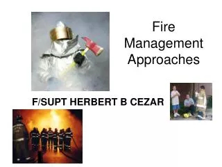
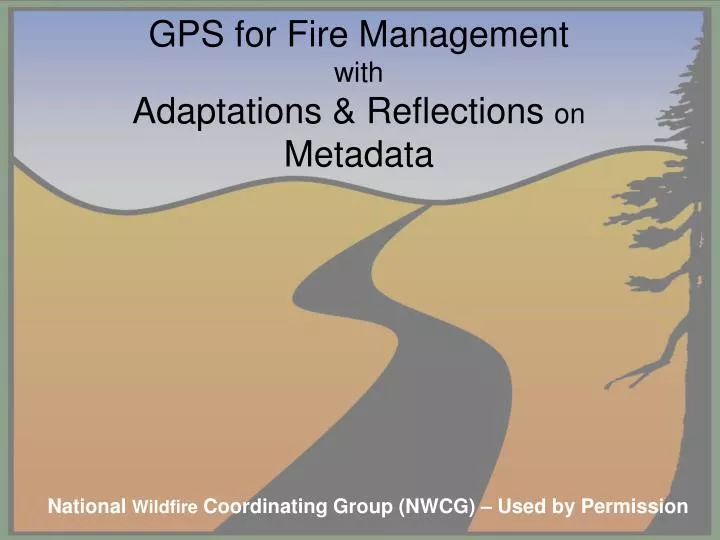
GPS for Fire Management with Adaptations & Reflections on Metadata. National Wildfire Coordinating Group (NWCG) – Used by Permission. GPS for Fire Management & ICS -- GPS Mission Checklist Pre–Mission Briefing Mission Objective(s) Understood/Clear

E N D
GPS for Fire ManagementwithAdaptations & Reflections onMetadata National Wildfire Coordinating Group (NWCG) – Used by Permission
GPS for Fire Management & ICS -- GPS Mission Checklist • Pre–Mission Briefing • Mission Objective(s) Understood/Clear • Logistics to Execute/Complete Mission Data/Product Datum Format • Delivered Data/Product Format • Equipment • GPS Receiver • Cables • External Antenna • Batteries/Power Source • Paper Map & Compass • Notebook & Pencil • Metadata Forms • GPS Receiver Prep • Waypoints – Delete Old • Tracks – Delete Old/Setup Logging • Setup – Units/Time/Position • Check Wires and Connections • Updated Receiver Almanac Source: http://gis.nwcg.gov/gpstraining/2011Reference/Mission_Checklist.pdf
The GPS Montra Power Signal dataMetadata Paul Veisze, Adjunct Faculty Instructor, American River College
GeoSpatial Metadata Matrix The 15 – Way Path to Geo-Happiness Paul Veisze, Adjunct Faculty Instructor, American River College
Incident GPS Metadata Form (Field Log) page 1 Metadata completed by: ______________Date: ____________ Date of data collection (mm/dd/yyyy): ___ Time of data collection: Start:Stop: ___ Data collector(s) name: ________ Collector’s contact information: Location of GPS work (Park/Forest/Preserve/County): State/Province: Purpose of GPS survey: Incident name: ____ Unit ID: _________ GPS equipment: Make : Model ___________________ Differential Correction (circle): No CORS WAAS Post Processing Other: _____ (e.g., Satellite Differential, Mobile Base Station) Method of travel used to collect data (circle): Helicopter Fixed Wing ATV Foot Other: ________ (e.g., Mtn. Bike, Boat) Number of waypoints collected: Number of active log track segments collected: Track Logging Interval (circle): Time (Interval Value) Distance (Interval Value & Units) __________ Record Dilution of Precision (DOP) or estimated error (EHE/EPE) range of values: Min Max Source: http://gis.nwcg.gov/gpstraining/2011Reference/2011_GPS_Meta_Form.doc
Incident GPS Metadata Form (Field Log) page 1 (Example, contd.) Map: General Course Diagram IC DB_X-Y DB_Y-Z GT_09 Source: http://gis.nwcg.gov/gpstraining/2011Reference/2011_GPS_Meta_Form.doc
Incident GPS Metadata Form (Field Log) page 2 Describe GPS mission (if you record coordinates for any points in this narrative, clearly write out format and specify coordinate system and datum): _________________________________________________________ _________________________________________________________ Electronic Data Output File information contact person: ___________________________________ Directory Path (e.g., c:/working/02252003/): _____________________________ GPS Download Software: TextOutput File Name(s) (e.g., *.txt): _____________________ GIS Output File (shapefile, geodatabase) Parameters: ____________________ Coordinate system (projection) (check): ___ Lat/Long (Geographic) - Decimal Degrees (ddd.dddd) ___ UTM UTM zone ___ Other:____________________(e.g., State Plane, Albers Equal Area) Datum(circle): NAD27CONUS NAD83 WGS84 Other: _ ESRI File Name(s) (e.g., *.shp, *.shx, *.dbf or *.mdb): File Name Convention Source: http://gis.nwcg.gov/gpstraining/2011Reference/2011_GPS_Meta_Form.doc -- modified
File Name Convention Source: http://gis.nwcg.gov/gpstraining/2011Reference (modified)
National Wildfire Coordinating Group (NWCG) GIS Standard Operating Procedures (GSTOP) – v7 – June 2006 File Name Convention • File names cannot be longer than 255 characters. Note: long file names (more than 128 characters for path name and file name) may not allow backup onto CDs. • File and folder names must not contain spaces or periods, aside from file extension delimiters. • File names for specific layers include descriptive data about the incident. • File names must be complete and stand on their own outside of the file structure.
National Wildfire Coordinating Group (NWCG) GIS Standard Operating Procedures (GSTOP) – v7 – June 2006 Example from Cottonwood Incident: Master map document: 2005_cottonwood_iap_11x17_land.mxd Map document backup file: 20050516_2120_cottonwood_iap_11x17_land.mxd Master incident geospatial data file: 2005_cottonwood_AR-CRR-1016_fimt91.mdb Incident perimeter export file: 20050516_2230_cottonwood_ AR-CRR-1016_per_u15n83.zip GPS data file: 20050516_2230_cottonwood_ AR-CRR-1016_per_fobs_ln_u15n83.shp http://www.nwcg.gov/pms/pubs/GSTOP7.pdf
FGDC Metadata (example) Identification_Information: Citation: Citation_Information: Originator: California State Parks Publication_Date: 2005 Title: pughHomesteadSite_Map.jpg Geospatial_Data_Presentation_Form: raster digital data Series_Information: Series_Name: Archaeological Resources Management Reports (ARMR) Issue_Identification: Sutter Buttes State Park Publication_Information: Publication_Place: Sacramento, Calfornia Publisher: California State Parks Online_Linkage: CulturalResources\NorthernButtes645\132_SutterButtes\ Larger_Work_Citation: Citation_Information: Originator: State of California Office of Historic Preservation (OHP) Publication_Date: 1990 Title: Archaeological Resources Management Reports (ARMR) Geospatial_Data_Presentation_Form: document Other_Citation_Details: Guidance reporting on archaeological resource mapping
FGDC Metadata (contd.) Online_Linkage: http://ohp.parks.ca.gov/ Description: Abstract: Pugh Homestead site map. Purpose: Cultural resources management. Supplemental_Information: <derived from GPS and GIS data collected in the field> Time_Period_of_Content: Time_Period_Information: Single_Date/Time: Calendar_Date: 2004 Currentness_Reference: ground condition Status: Progress: Complete Maintenance_and_Update_Frequency: As needed Spatial_Domain: Bounding_Coordinates: West_Bounding_Coordinate: East_Bounding_Coordinate: North_Bounding_Coordinate: South_Bounding_Coordinate:
FGDC Metadata (contd.) Keywords: Theme: Theme_Keyword_Thesaurus: ISO 19115 Topic Categories Theme_Keyword: society Theme: Theme_Keyword_Thesaurus: none Theme_Keyword: cultural resources Theme_Keyword: historical archaeology Theme_Keyword: prehistoric archaeology Place: Place_Keyword_Thesaurus: California State Parks Place_Keyword: California Place_Keyword: Central Valley Place_Keyword: Sacramento River Place_Keyword: southern Sacramento Valley Place_Keyword: Sutter Buttes Place_Keyword: Sutter Buttes State Park Stratum: Stratum_Keyword_Thesaurus: none Stratum_Keyword: subaerial
FGDC Metadata (contd.) Browse_Graphic: Browse_Graphic_File_Name: <filename>.jpg Browse_Graphic_File_Description: Image file derived by GPS and GIS methods Browse_Graphic_File_Type: JPEG Data_Set_Credit: Dionne Gruver, Warren Wulzen, Pamela Sykes, Leslie Steidl and others, California State Parks, Northern Service Center, Sacramento. Native_Data_Set_Environment: Microsoft Windows 2000 Version 5.2 (Build 3790) Cross_Reference: Citation_Information: Originator: California State Parks Originator: Northern Buttes District Originator: Northern Service Center Title: Archaeological Site Records for Sutter Buttes SP Other_Citation_Details: Compilation in progress as of March, 2011.
FGDC Metadata (contd.) Process_Step: Process_Description: <process description 1, 2, 3, etc> Mapped using ArcMap 9.3.1 based on GPS-derived feature positions. Source_Used_Citation_Abbreviation: Process_Date: 201103 Process_Contact: Contact_Information: Contact_Organization_Primary: Contact_Organization: California State Parks Contact_Person: Paul Veisze Contact_Position: Geographic Information Officer Contact_Voice_Telephone: 916-949-3327 Contact_Electronic_Mail_Address: pveisze@parks.ca.gov Process_Step: Process_Description: Metadata imported. Source_Used_Citation_Abbreviation: Process_Date: 20110326 Process_Time: 15210300
FGDC Metadata (contd.) Spatial_Data_Organization_Information: Direct_Spatial_Reference_Method: Raster Raster_Object_Information: Raster_Object_Type: Pixel Row_Count: 3520 Column_Count: 5440 Vertical_Count: 1 Spatial_Reference_Information: Horizontal_Coordinate_System_Definition: Planar: Grid_Coordinate_System: Grid_Coordinate_System_Name: Universal Transverse Mercator Universal_Transverse_Mercator: UTM_Zone_Number: 10 Transverse_Mercator: Scale_Factor_at_Central_Meridian: 0.999600 Longitude_of_Central_Meridian: -123.000000 Latitude_of_Projection_Origin: 0.000000 False_Easting: 500000.000000 False_Northing: 0.000000
FGDC Metadata (contd.) Entity_and_Attribute_Information: Detailed_Description: Entity_Type: Entity_Type_Label: Pugh Homestead Site Map Entity_Type_Definition_Source: California State Parks Overview_Description: Entity_and_Attribute_Overview: Resource feature names, codes, etc Entity_and_Attribute_Detail_Citation: Pamela Sykes, California State Parks Distribution_Information: Resource_Description: Downloadable Data Metadata_Reference_Information: Metadata_Date: 20110326 Metadata_Contact: Contact_Information: Contact_Organization_Primary: Contact_Organization: California State Parks Contact_Person: Paul Veisze Contact_Position: Geographic Information Officer Contact_Address: Address_Type: mailing and physical address Address: 1416 9th Street City: Sacramento