Download
1 / 37
380 likes | 516 Views
Alabama Natural Heritage Program: Inventorying and Mapping Alabama’s Biodiversity. Michael S. Barbour GIS/Database Manager. BS – Biology & Wildlife Management MS – Wildlife Ecology PhD – Zoology (Wildlife Management Emphasis). ALNHP Mission Statement.

E N D
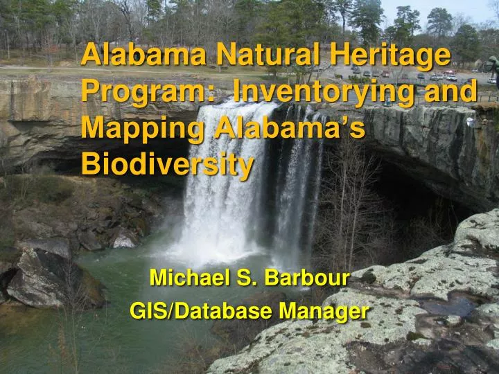
Alabama Natural Heritage Program: Inventorying and Mapping Alabama’s Biodiversity Michael S. Barbour GIS/Database Manager
BS – Biology & Wildlife Management • MS – Wildlife Ecology • PhD – Zoology (Wildlife Management Emphasis)
ALNHP Mission Statement To provide the best available scientific information on the biological diversity of Alabama to guide conservation action and promote sound stewardship practices.
Natural Heritage Network Canada (11) U.S. (52) Latin America & Caribbean (18)
Natural Heritage Program Functions • collect information on the status, distribution, and stewardship of species and natural communities • manage this information in a standard way • disseminate this information to a wide array of users
Natural Heritage Positions • Zoologist • Botanist • Community Ecologist • Applied Conservation Ecologist • Database Manager • GIS Manager/Analyst/Specialist • Conservation Planner • Director/Coordinator
Biotics Database • ArcViewMapper • Oracle TablesTracker
What Is GIS? • Geographic Information System • An organized assembly of people, data, techniques, hardware, and software for acquiring, analyzing, storing, retrieving, manipulating, and displaying geographically referenced information about the real world. • Has become a standard tool for spatial data handling and manipulation
What Information Do We Manage? • Information Source • EO • Biotics Database • Element • Managed Areaor Site
available on our website: www.alnhp.org
Conservation Status Definitions • X - Extinct • H - Historic (not verified for >20 years) • 1 - Critically imperiled • 2 - Imperiled • 3 - Rare but not imperiled • 4 - Uncommon but secure • 5 - Common and secure
Heritage Methodology Rank Criteria • total number and condition of occurrences (sightings/records) of that species • population size • range extent and area of occupancy • short and long-term trends in the first 3 factors • threats to the element • fragility of the element
Number of Rare Elements Tracked by ALNHP • 1,470 Elements Tracked
Percentage of total EORS in Bioticsby major taxonomic group.
EORs Documented in Alabama • 8,990 EORs currently in Biotics
Sources of Data Field Surveys
Sources of Data Publications or Submitted Data
Types of Projects Status Surveys
Types of Projects Cahaba River NWR Magnolia Branch Survey of an Area
Types of Projects Natural Community Assessment
Survey and Restoration Support Map Production Crestless Eulophia (Pteroglossaspis ecristata) Distribution
Survey Support Identify areas to search • Historical locations • Landowner specific locations • Potential habitat identified from GIS data • Spatial data gaps
Types of Projects Species Re-introduction
Types of Projects Conservation Planning Red Hills SalamanderHabitat Restoration Recommendations
Types of Projects Data Requests
Types of Projects Data Management & Improvement
Black Belt Prairie Assessment • Soil Data - 436,936 ac
Black Belt Prairie Assessment • Landsat Data
Black Belt Prairie Assessment • AL GAP Ecologic Systems Map
Black Belt Prairie Assessment • AL GAP Ecologic Systems Map - Prairies
Black Belt Prairie Assessment • Interpretation of Aerial Images
Black Belt Prairie Assessment • Parcel Data
Black Belt Prairie Assessment 14,710 ac Prairie