Download
1 / 14
140 likes | 299 Views
County of Honolulu. Island of O’ahu, Hawaii. Prepared by: Robert Erickson Date: 04-27-2010. Prepared by: Robert Erickson / Date 4-27-2010 Source: Hawaii department of business Economic Development and Tourism American Community Survey 2008. Prepared by: Robert Erickson / Date 4-27-2010

E N D
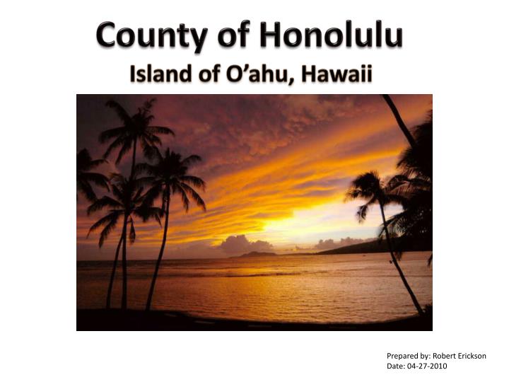
County of Honolulu Island of O’ahu, Hawaii Prepared by: Robert Erickson Date: 04-27-2010
Prepared by: Robert Erickson / Date 4-27-2010 Source: Hawaii department of business Economic Development and Tourism American Community Survey 2008
Prepared by: Robert Erickson / Date 4-27-2010 Source: Hawaii department of business Economic Development and Tourism American Community Survey 2008
2006-2008 Civilian Occupations Prepared by: Robert Erickson / Date 4-27-2010 Source: U.S. Census Bureau Selected Economic Characteristics 2006-2008
Annual Honolulu Climate Prepared by: Robert Erickson / Date 4-27-2010 Source: The Weather Channel
Reference Map (1) State of Hawaii This map shows the overall location of Honolulu County which is the Island of O’ahu. The map shows the location of Hawaii in relation to the mainland United States, Canada, and Mexico. The state is located approximately 2,300 miles from the west coast of the United States. Latitude and Longitude lines have been provided for the reference location in the Pacific Ocean. The state of Hawaii is located at 21°18’ N, 157°51’W and is only accessed by Airplane or Boat. Reference Map (2) Honolulu County, Island of O’ahu, Hawaii The State of Hawaii contains many small islands, atolls, and reefs. This map shows the eight major inhabited islands. The eight islands are Hawaii, Maui, Kaho’olawe, Lana’I, Moloka’I, O’ahu, Kauai, and Ni’ihau. There are only four counties in Hawaii. The most western county is Kauai which includes the islands of Kauai and Ni’ihau. Next, is the county of Honolulu which is the island of O’ahu, which is also serves as the state capital. Maui County contains four islands, Maui, Moloka’i, Lana’i, and Kaho’olawe. The forth county is Hawaii and contains the largest island named Hawaii. The map also shows an enlarged area of Honolulu County detailing the seven main metropolitan districts. Thematic Map (1) Historical Kingdom Boundaries of O’ahu This map shows the island of O’ahu and the six original tribal kingdoms. The six kingdoms include: Kona, Ko’olauloa, Ko’olaupoko, Waialua, Wia’anae, and ‘Ewa. This map effectively shows the original kingdoms by color and named sub-territorial lands. It is important to note that the information mapped was from 19th century maps, and does not align with the current coastline of the island. Thematic Map (2) 2000 Population Density This map shows the eight main islands of Hawaii with the population density broken down by zip codes. The visual hierarchy is shown with hues of brown. The data is broken down by four equal count ranges rounded to the nearest hundred. The map shows how the islands are populated by persons per geographic segment. The map effectively shows the overall density of the population throughout the islands. The island of O’ahu is the most densely populated island. The islands of Ni’ihau, Moloka’I, Lana’I, and Kaho’olawe have very low population densities. Six of the islands did not contain any population statistics in various areas. This is due to state park locations, volcanoes, and military areas.
Thematic Map (3) 2000 Median Value for all Owner Occupied Housing This map shows the eight main islands of Hawaii and the value of owner occupied housing broken down by zip codes. The visual hierarchy is shown with hues of red. The data is shown as five equal ranged rounded to 100,000. The map shows the location of the value of housing per geographic segment. The map effectively shows the overall value of housing throughout the islands. The island of Ni’ihau has the highest value of housing. The islands of Moloka’I, Lana’I, Kauai, and Hawaii offer the least costly housing while the island of O’ahu offers the most diverse of housing options. Six of the islands did not contain any population statistics in various areas. This is due to state park locations, volcanoes, and military areas. Thematic Map (4) Average Annual Rainfall This map shows the main islands of Hawaii and the average annual rainfall in inches. The visual hierarchy is shown with hues of green. The data is shown as five equal range counts rounded by ten. The map effectively shows the overall rainfall zones throughout the islands. The map shows that the island of Kauai has the highest annual rainfall. In fact Mt. Waialeale located on Kauai is the second wettest place on earth. The island of Lana’ offers the least annual rainfall. The five remaining islands offer average rain fall totals from nine inches to two hundred and seventy five inches. There was no rainfall information provided for the island of Ni’ihau. The heaviest areas of rainfall can be summarized by the following characteristics such as high mountain areas, tropical rainforests and being on the windward or leeward side of the ocean trade winds. Graph (1) 2008 County Population This graph is a bar chart that shows the population distribution in the four counties of Hawaii. The data is separated by county to show male, female, and total populations. Population totals appear at the bottom to complete the graph. The results show that the County of Honolulu has the highest population total while the county of Kauai has the lowest population. The counties of Maui and Hawaii have very similar population totals.
Graph (2) 2008 Race Demographics This graph is a bar chart that shows the racial distribution in the four counties of Hawaii. The data is separated by county to show White, Black, American Indians, Asian, Native Hawaiian, Latino, and two or more person populations. In addition, population totals appear at the bottom of the graph. The results show that the population mix of Black, American Indian, Native Hawaiian, Latino, and two or more persons are fairly similar in all four counties. However, White and Asian persons due vary throughout the counties. Honolulu County has the highest Asian population at 44.6 percent. Maui County has the highest white person population at 40.7 percent of the population. Graph (3) 2006-2008 Civilian Occupations This graph is a pie chart that shows the six main civilian occupation sectors of the four county region of Hawaii. The data is separated by county to show percent of occupations in sales and office, service, management and professional, production and transportation, construction, and agriculture. The results show that the occupation mixes are surprisingly similar in all four counties. Honolulu County has the highest management and professional sector at 35 percent. Hawaii County has the highest agriculture sector at 2 percent while Honolulu county agriculture is at zero percent. All other sectors were similar across the four counties. Graph (4) Annual Honolulu Climate This graph shows two bar charts, one shows the average temperature and the other shows the average precipitation for the City of Honolulu. The data is separated by month to show high and low temperatures. Also average totals appear at the bottom to complete the graph. The results show that the City of Honolulu has an average yearly high temperature in the 80’s and lows in the mid 60’s to lower 70’s. The precipitation bar chart displays monthly average precipitation and includes totals at the bottom of the chart. The results show that July is the driest month with an average of 0.5 inches of precipitation and December is the wettest at 2.85 inches.