Download
1 / 14
140 likes | 226 Views
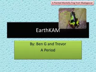
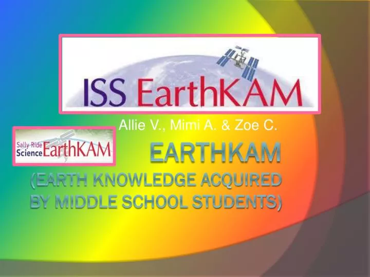
Allie V., Mimi A. & Zoe C. EarthKam ( Earth knowledge acquired by middle school students). Grand Canyon. Our class acquired this picture of the Grand Canyon from astronauts aboard the International Space Station. In the bottom right corner is were you can see the drop off of the clif f.

E N D
Allie V., Mimi A. & Zoe C. EarthKam(Earth knowledge acquired by middle school students)
Grand Canyon Our class acquired this picture of the Grand Canyon from astronauts aboard the International Space Station. In the bottom right corner is were you can see the drop off of the cliff.
Grand Canyon Post-Card This is a photo was taken by tourists. The beautiful view shows rock formations, the sky, and the Colorado River. The other picture shown is of the river.
Grand Canyon Map This photo is of a map of the Grand Canyon. The blue part is the Grand Canyon National Park. It also shows the highways and roads surrounding the park.
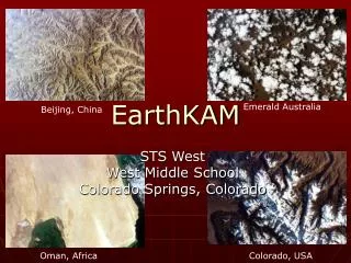
Australia This EarthKAM picture shows a great view of the landscape in Australia. Many different waterways twist and turn in the magnificent outback.
England This is an EarthKAM picture of the coast off England. The ocean is bright blue and crystal clear. The little bit of land is beautiful with its different geographical points and many colors.
Isle Royal This EarthKAM picture shows mackerel cloud cover. It was taken over Isle Royal. The different shapes of these clouds are a great show of Mother Nature.
Greece This EarthKAM photo presents the landscape of the islands of Greece. There are many islands dotting the view in this picture. There is a bit of cloud cover in the lower left corner.
Italy This EarthKAM photo is of the ocean off the coast of Italy. The ocean is a deep blue, but on further inspection it is actually clear- greenish water. The water is very salty and the beaches aren’t actually beaches! Instead of sand, they have rocks. Even though Italy has odd beaches, it is still a magnificent place.
Orbit Around the Earth All Earth-orbiting satellites have to orbit in space to avoid bump- ins with the many air molecules that surround the surface of the Earth. This chart shows the definitions of satellite and orbit. A satellite is a body that rotates around another body. Orbit means a path in space that satellites follow.
More About Orbit Around the Earth This picture shows a spacecraft orbiting around Earth. The diagram on displays orbit in the way of a race. The satellite is trying to get to the finish line. This drawing depicts orbit wonderfully. The race track is the set path in which satellites follow.
EarthKAM Information Astronaut taking photos for middle school students. He is using the camera to record Africa. A drawing of the EarthKAM System. It shows the satellite. This drawing was made by the University of California.
Thank You • Thank you for viewing our Power Point! • We are very grateful for EarthKAM and their image gallery. • Please visit their homepage www.earthkam.com
Works Cited • "NASA - Home." NASA - Home. N.p., n.d. Web. 26 Jan. 2011. <http://www.nasa.gov/>. • We give our thanks to Google images, as well. MLA formatting by BibMe.org.