Download
1 / 13
130 likes | 244 Views
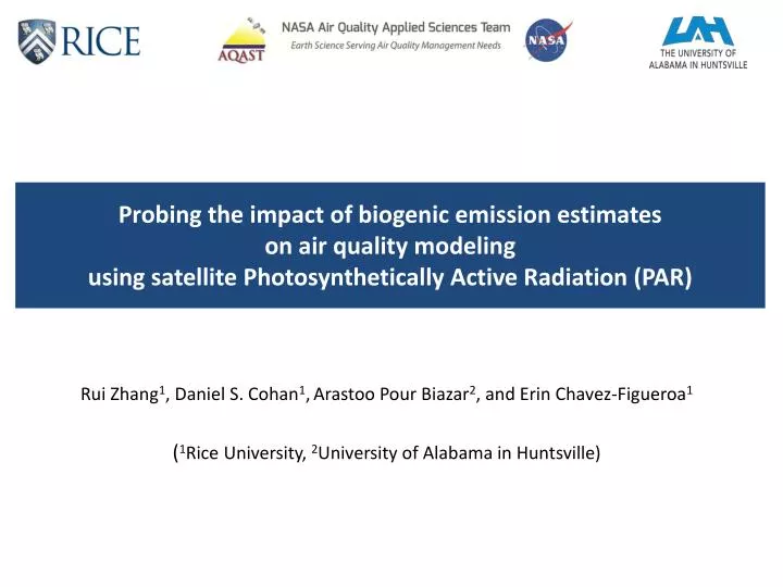
Probing the impact of biogenic emission estimates on air quality modeling using satellite Photosynthetically Active Radiation (PAR). Rui Zhang 1 , Daniel S. Cohan 1 , Arastoo Pour Biazar 2 , and Erin Chavez-Figueroa 1 ( 1 Rice University, 2 University of Alabama in Huntsville).

E N D
Probing the impact of biogenic emission estimates on air quality modeling using satellite Photosynthetically Active Radiation (PAR) Rui Zhang1, Daniel S. Cohan1,Arastoo Pour Biazar2, and Erin Chavez-Figueroa1 (1Rice University, 2University of Alabama in Huntsville)
Background & Motivation • In the continental U.S., biogenic volatile organic compounds (BVOC) comprise approximately 75%-80% of national VOC emission inventory (EI) and can affect regional and urban air quality by contributing to ozone and particulate matter (PM) formations (Carlton et al., 2011). • BVOC estimates depend on land use/land cover (LU/LC) classification, the amount of radiation reaching the canopy (i.e. Photosynthetically Active Radiation (PAR)) and temperature. Large uncertainty coming from the model insolation estimates spurs the need to use satellite-based PAR in biogenic emission models (Guenther et al. 2012) • The University of Alabama in Huntsville (UAH) archived a set of high resolution satellite retrieval products from Geostationary Operational Environmental Satellite (GOES) imager such as surface insolation, cloud albedo, and cloud top temperature; which makes it feasible to update the PAR retrieval algorithm from the discontinued University of Maryland PAR products (www.atmos.umd.edu/~srb/gcip).
PAR satellite retrieval algorithm • PAR can be produced by scaling the principal insolation using a conversion factor (CF) , which is dependent on several relevant atmospheric parameters such as water vapor, total overhead ozone, optical depth and zenith angle (Frouin and Pinker, 1995). • The practical variation of CF value hovers around 0.5, since the presence of opaque clouds would drastically reduce insolation. where, is cloud albedo and is the zenith angle correction factor
Satellite-derived insolation (left) and PAR (right) insolation PAR • Hurricane Humberto • (category 1 with 75 mph wind) • Retrieval with 4km X 4km resolution over continental U.S from GOES satellite imager for Sep 12, 2013 at 15:45 UTC
WRF-MEGAN-CMAQ modeling framework MEGAN v2.10 WRF v3.5 CMAQ v5.0.1 RGRND SURFRAD SCAN O3 BVOC insolation PAR DISCOVER-AQ Houston 2013 Satellite Retrieval Products (UAH) (Guenther et al. 2012)
Observational networks & simulation configuration Simulation Period: Sep 2-29, 2013 Domain: 12km CONUS Meteorological fields: WRF (PX LSM, ACM2, RRTM, NARR boundary, NECP-ADP analysis nudging) BVOC Emissions: MEGAN V2.1.0 (MODIS 8 day average LAI and PFT) Anthropogenic emission: SMOKE (2011 NEI) Air Quality Model: CMAQ (GEOS-Chem boundary,CB05_AE6; inline photolysis)
Insolation simulation performance: WRF .vs. Satellite Spatial Distribution of NMB (normalized mean bias) (WRF/MCIP – RGRND) (Satellite – insolation) (IA – Index of agreement; R – correlation coefficient; MB – mean bias; RMSE – root mean square error; MAGE – mean aggregate gross error; NMB – normalized mean bias)
Conversion Factor (CF) from insolation to PAR Insolation (W/m2) SURFRAD network Outlier rate: 9% CF SCAN network GOES satellite imager for Sep 12, 2013 at 16:45 UTC Outlier rate: 17%
MEGAN emission Difference: WRF .vs. Satellite ISOP (WRF PAR) ISOP Diff in % TERP (WRF PAR) TERP Diff in % Isoprene emission is more sensitive to PAR inputs with the highest increase region at Northeast (> 30%) and decrease at the Northwest (> 20%). The relative change for monoterpene emission is modest (-10% to 5%).
BVOC emission estimates with different climate region 7% 4% 7% 1% 8% Emission rate estimates using satellite PAR data is expected to increase at Northeast and Southeast region but decrease at Northwest, West and South region for both isoprene and monterpene. (Karl and Koss, 1984)
Response for daily max 8-hr average O3 concentrations O3 (WRF PAR) Diff O3 (‘UAH’ – ‘WRF’) NOx Diff PAR (‘UAH’ – ‘WRF’) Diff ISOP emission (‘UAH’ – ‘WRF’) PFT
Summary & ongoing work • Satellite retrieved PAR data from UAH were implemented into MEGAN model to replace the default WRF simulation values and qualify its impact to BVOC emission estimates and CMAQ simulation during the DISCOVER-AQ Houston Campaign period in September 2013. • Comparing with observational data, satellite retrieved PAR value tend to correct the overestimation of the insolation products by WRF; probably due to the incapability of current mesoscale meteorological model to resolve subgrid cloud. However, the current insolation/PAR retrieval algorithm seems have large noise over heavily cloud region. • The response of isoprene and monoterpene emission rate estimates using different PAR inputs varies with different climate region. For September 2013 case, both species emission rate estimates basically increased over east coast but decrease over west coast and Texas. • The impact of PAR inputs on ozone prediction depends on the local NOx/VOC ratio. Over the VOC limited region, the satellite PAR tend to shift the ground O3 prediction by 5-8%. • Ongoing work include model evaluation with CMAQ model performance with ground observation network and the cross-reference comparison with Pinker’s PAR product.