Download
1 / 15
150 likes | 319 Views
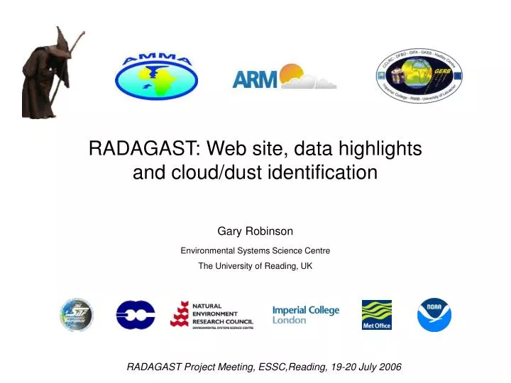
RADAGAST: Web site, data highlights and cloud/dust identification. Gary Robinson Environmental Systems Science Centre The University of Reading, UK. RADAGAST Project Meeting, ESSC,Reading, 19-20 July 2006. RADAGAST project home page. http://radagast.nerc-essc.ac.uk. RADAGAST study area.

E N D
RADAGAST: Web site, data highlightsand cloud/dust identification Gary Robinson Environmental Systems Science CentreThe University of Reading, UK RADAGAST Project Meeting, ESSC,Reading, 19-20 July 2006
RADAGAST project home page http://radagast.nerc-essc.ac.uk
RADAGAST study area RADAGAST study area Nested AMMA study areas
Web site: requirements • Support science aims • concentrate on radiation products • climatology important as it changes during year • Respond to changing requirements & priorities • e.g. include new data sets, generate new products • Flexibility & ease of use • Local & remote access to data & products • Near real-time capability for mission planning • On-line access to all archived data • Animations to aid understanding of physical processes
Web site: design • Data section = suite of individual web pages or ‘browsers’ • Each tailored according to dataset/product • Each capable of user-controllable animation • Closely coupled through pull-down menus
RADAGAST data acquisition • SEVIRI • Received in near-real time (~30 mins latency) from Eumetsat via ftp ‘push’ • Clipped to RADAGAST study region (~30˚N to 5˚S; 30˚W to 30˚E) before transfer • GERB • Version 3 ARG and HR whole-disk products downloaded from RMIB ftp server in near-real time (~60 mins. latency) automatically via ‘wget’ • Edition 1 (quality controlled v3) downloaded from GGSPS automatically via ‘wget’ (with ~40 days lag) • Other • AMF ‘quicklook’ quality control plots downloaded via ‘wget’ (~1-3 hr latency) • Full AMF data - manually accessed as required • MODIS & other satellite data - manually accessed as required
RADAGAST generated products • From SEVIRI: • Images (jpegs) of all bands • Time series of all 3km SEVIRI bands and IR split-window difference • DUST product image (EUMETSAT algorithm) • Pseudo-natural visible images • WV product image (modified EUMETSAT algorithm) • From GERB: • Time series of ARG and HR radiance and flux products: • AMF sites at Niamey & Banizoumbou • BSRN sites at Djougou, Ilorin & Tamanrasset • Quicktime movies: • Interesting events, e.g. March 2006/7 dust storms & total solar eclipse
RADAGAST product summary • SEVIRI (March 2004, Dec 2005 to mid-Jan 2007, June 2007) • Greyscale radiance (vis+near-IR) and BT (IR) images at full resolution (1 km HRV, 3km others), mapped onto nearest 15 min. slot • Dust product (using EUMETSAT algorithm) (6km resolution) • Pseudo-visible RGB product (6km resolution) • Daily time series of 11 bands (2 vis, 1 nIR, 8 IR) + IR window BT difference over AMF & BSRN sites • Animations of selected event, e.g. March 2006 dust storm (QuickTime movies) • GERB (currently 29 Oct 2005 to present; ongoing for SINERGEE) • Image products, clipped by RADAGAST to match SEVIRI 3km images • ARG products, mapped onto nearest 15min. slot: • SW radiance and flux • LW radiance and flux • HR products, already at 15 min. slots: • SW radiance and flux • LW radiance and flux • Daily time series over AMF & BSRN sites • AMF (December 2005 to 7th Jan 2007; radar from mid-March 2006) • Daily ‘quicklook’ time series of upwelling/downwelling SW/LW radiation, multi-pulse lidar, doppler radar
Other source data/products • Topography • ETOPO2 DEM (~ 3km resolution) • Cloud masks (from EUMETSAT) • CLoud Area Image = scene classification (10 cloud classes, 3 hourly) • Cloud MasK = logical OR of CLAI cloud classes (15 mins) • CLAI does not discriminate between low cloud & airborne dust
Cloud/dust identification (1) • Use SEVIRI time series: • 5x5 pixel window around site(s) shows greater spatial variability (range=grey shading) when cloud is present (left) than under ‘clear-sky’ conditions (right) • NB: intrinsic variation is due to surface heterogeneity - compare corresponding ‘clear-sky’ Banizoumbou (new left) with Niamey (right)
Cloud/dust identification (2) ‘Clear-sky’ case (2006/02/25) Note the slightly positive IR split-window BT difference, which is maximum at ~local noon and almost zero at night Cirrus case (2006/12/11) A fairly typical day, with cirrus advecting from the West over the AMF site at Niamey, leading to positive TOA window BT differences and rapid changes in down-welling SW direct flux Dust storm (2006/03/08) An anomalous northerly flow generated a large dust storm over West Africa during March 2006. Note the decrease in down-welling SW direct flux and negative TOA window BT difference TOA Surface
Conclusions & future work • Data Handling: • Acquisition performed very well, outstanding data recovered within 1-2 days • Very little missing data (SEVIRI: 70 out of 45,000 images; GERB: eclipse periods, a few technical glitches) • RADAGAST server easily coped with serving website, ftp transfer and data processing • Spin-off science activities: • SEVIRI data used to evaluate new satellite-based LST algorithms (with Sun, Pinker & Miller, paper in GRL) • Monitoring of dust emission from Bodele depression (with Todd & Washington) • Effect of airborne dust on the radiative balance over Africa during March 2004 (with Gimbert) • Flight planning for GERBIL during June 2007 • Future work: • Better cloud/dust discrimination, exploiting spectral, spatial & temporal properties? • SEVIRI data and products are available for use by RADAGAST collaborators!