Download

1 / 47
470 likes | 537 Views
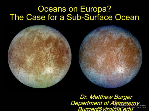
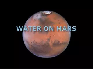
Oceans on Mars. By Carr and Head Presented by Mark Popinchalk. An assessment of the observational evidence and possible fate . Northern Lowlands. North-South dichotomy High standing cratered terrain – South Low standing, sparsely cratered – North Crust generally thicker in south

E N D
Oceans on Mars • By Carr and Head • Presented by Mark Popinchalk An assessment of the observational evidence and possible fate
Northern Lowlands • North-South dichotomy • High standing cratered terrain – South • Low standing, sparsely cratered – North • Crust generally thicker in south • Generally 5km lower
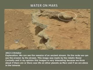
Time Scale • Post Noachian • Outflows/“Ocean” areas Mainly Hesperian Era • Post Noachian landforms will be preserved • Low erosion • Mariner 9 found outflow channels • Late 80’s • where? and how big?
Northern Depressions • Surface mostly Hesperian • Possibly Large Impacts • What caused the features? • Debris blankets • Pervasive Ground Ice • Volcano-ice interactions • ‘86 Lucchitta et al. first to suggests stand water • Polygon fractured ground
Parker ’89, ’93 • Former shorelines • Cliffs in terrain • Plains with “thumb print” textures • Backflow • Massifs with stepped slopes • Identified two possible shorelines • Multiple bodies • Meridiani shoreline, 1.5 km
Outflows And Olympus • Olympus Mons aureole deposits • Submarine landslides • 2.5 km GEL • Outflow channels @ high elevation • Groundwater sources • 1/3 surface in standing bodies • Ice covered ocean in north
Alternate • Above theories based on outflows being water driven • CO2 for some, Lava, Wind • There is doubt • This paper assumes outflows were water.
Mars Global Surveyor • Arrived in optimal orbit in 1999 • MOLA • Contact 1, too varied • Contact 2 better candidate • 150m • MOC • Little support, no evidence
Aims • Geomorphic evidence of shorelines • Examine areas that were covered, modification due to water • Reconcile appearance and disappearance
Basins • Utopia Basin • -5000m • North Polar Basin • -5200m • AmazonisPlaitia • Extremely flat, not really a basin • Isidis basin • -3900m
Age • Lack of craters -> Upper Hesperian • Low hills, remnants of large craters -> Noachian • Noachian, with something on top
Features • Ridges • Thought to be volcanic in origin • Low slopes • Oceanic Abyssal plain? • Volcanic • AmazonisPlanitia • Supremely Flat • MOC images – Lava flows • Fluvial Channels feed in
Textured • Highly textured at a few kilometers • Hills, ridges, cones, polygons • Geologically young, latitude dependent, ice/dust rich layer of mantle • Superposed on Vastitas Borealis Formation
Possible Shorelines • MOLA map • Used Clifford and Parker as a baseline • Interpreted features and elevations • Arabia, Deuteronilus
Arabia Shoreline • ~ Contact 1 • Age ~ 4 Ga • Largest possible ocean • Plains upland Boundary • -2090±1400m
Problems • 330-85, 80-160 • Huge scatter, generalized, numerous cliffs, mesas, knobs and valleys • Mean elevation changes on stretches • Areas are volcanic flows
Debunked • Argued for debris flows found in DeuteronilusMensae • Explained with Mass Wasting
Deuteronilus • ~Contact 2 • Age between 2-4 Ga • Between age of youngest and oldest shoreline • Upper Hesperian
Elevation • Hiesinger (2000)– • Varies only 110m • Two other random points vary more • Break in the slope • Volcanic Activity breaks it up past Elysium • Half its length is VBF border
VBF Border • Large Overlap with Contact 2
For Completeness • Other Contacts
Shorelines ? • Contact’s do vary in height • No MOC back up • Equivocal • What about the features within the shorelines?
Ridges • Northern Basin • Ridges smaller, farther apart, lower elevation • Difference between Contact 1 and Contact 2
VBF • Stealth Craters • 3 Levels and ages • Baseline Noachian • Lower Hesperian ridged plains • Upper Hesperian draped over • Depends on scale • Head et al. 2002, modeled deposits • Matched ridge spreading, wrinkle ridges
VBF deposited? • Many features which imply “cover” of 100m • MOC images reveal better • If VBF was deposited, volume ~ 3*106 • Outflows ~4*106 • Also evidence of ice
No Erosion… • Water would have to move between basins. • North-Utopian • Many small events… • Inherited ice lakes…
Fate of the ocean • Would be frozen under current conditions • Outflow brings CO2 • Needs a lot of CO2 • Would lose heat 7-20 K per year • Ice cover forms • Heat loss reduced • Freezes solid • Sublimates away • ~10*5 years • Heat loss due ~1-2*104
Reconciliation • VBF and floods very similar in age/volume/location • 156m GEL ? • More than enough in megaregolith • Only 11-28% • Fluvial channels • 107-4*109 km3 s-1 • Flood rates not strong enough ~ 10 % • Multiple Floods
Where does the water go • Ice caps • Ground ice layer? No, would return to atmosphere • Water to space • 50m GEL • Total in Ice Caps and Loss to Space • 70m GEL • Atmosphere? Basal belting? Return to ground water?
Conclusions • Evidence of large bodies of water • Near Contact 2/Deuteronilus/VBF • Shorelines inconclusive • Features within the contact main proponent • VBF interpreted as sublimation residue of flood/ocean. • 150m GEL required • Water volume needed a mystery • 50m lost to space, 30m caps, 70?
References • Parker, T. J., Mapping of ‘‘Oceanus Borealis’’ shorelines on Mars • Carr, M. H., and Head, J.W. “Ocean on Mars” an assessment of the observational evidence and possible fate • Wikipedia – Mars article (Images)