Download
1 / 35
350 likes | 364 Views
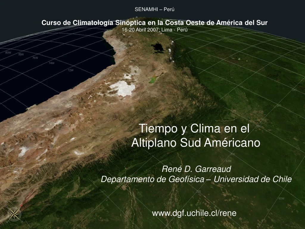
SENAMHI – Perú Curso de Climatología Sinóptica en la Costa Oeste de América del Sur 16-20 Abril 2007; Lima - Perú. Tiempo y Clima en el Altiplano Sud Américano René D. Garreaud Departamento de Geofísica – Universidad de Chile www.dgf.uchile.cl/rene.

E N D
SENAMHI – Perú Curso de Climatología Sinóptica en la Costa Oeste de América del Sur 16-20 Abril 2007; Lima - Perú Tiempo y Clima en el Altiplano Sud Américano René D. Garreaud Departamento de Geofísica – Universidad de Chile www.dgf.uchile.cl/rene
Presentación No. 3: Tiempo y Clima en el Altiplano En esta exposición se describen los aspectos meteorológicos del Altiplano sud Americano (Andes centrales), tanto en relación a fenómenos de tiempo atmosférico como a variaciones climáticas de carácter interanual. • El ciclo anual de la precipitación y otras variables • El Alta de Bolivia y su mantención • Variabilidad intraestacional de la precipitación y factores de control • Variabilidad interanual y relación con ENOS • Precipitación de invierno
Ciclo anual y distribución espacial Reanalysis data at 17.5°S 70°W a. Zonal wind speed E W Pressure [hPa] W/m2 g/Kg b. Near surface mixing ratio and OLR
Ciclo anual y distribución espacial Long-term-mean OLR (shaded) and 200 hPa wind
t~ 12-24 hr t < 2 hr 12 km A A Div Calentamiento diabático Este 0 km f = 0 B B Con f < 0 Sur Inicialmente, el calentamiento diabático (calor latente) asociado a la convección profunda genera una alta presión en altura y una baja en superficie (¿?). En respuesta a los gradientes de presión así generados aparece divergencia en altura y convergencia en superficie. En esta primera etapa todo ocurre en un mismo eje de la vertical. Si la convección se mantiene por varias horas, el efecto de Coriolis genera una circulación anticiclonica en altura y ciclonica en superficie (modificada por la fricción superficial). Aun todo esta en fase en la vertical.
Si la circulación en altura es quasi-geostrofica la advección de vorticidad relativa es muy pequeña (¿?). Sin embargo, la circulación en altura produce advección de vorticidad planetaria anticiclonica en el sector oeste de la alta ciclonia en el sector este (¿?). Si la situación se mantiene por varios días/semanas el anticiclón se intensifica al SW de la zona de máximo ascenso y se debilita al NE. Además, se genera una zona de convergencia en altura al W de la zona de ascenso, y en consecuencia la subsidencia se incrementa al W de la zona de convección. Por compensación, también aparece un centro de baja presión al SW de la zona de convección, y en consecuencia vientos del S en su borde este. t~ días t~ semanas 12 km B v < 0 A Con Div v > 0 A Este 0 km f = 0 B B f < 0 Sur
Convective nature of Altiplanic Rainfall
Convective nature of Altiplanic Rainfall
Diurnal cycle of convective clouds % occurrence of days with afternoon cloud top temperatures < 235 K 10 70
Accumulated rainfall from Peru Network TRMM accumulated rainfall 388 370 443 138 222 51 Peruvian raingauge network, Dec 2002 – May 2003 TRMM rainfall total and raingauge totals, Nov 11 2002 – Feb 15 2003 Spatial pattern of Altiplanic ranfall during SALLJEX Both TRMM and raingauge data show the strong concentration of precipitation in the lake Titicaca Basin. Data from the dense Peruvian raingauge network show an intensification of precipitation around the shores of lake Titicaca. This pattern also apprears to have been captured by TRMM. TRMM shows some problems: Rainfall totals underestimated Minimal rainfall over the Lake Titicaca Spurious rainfall in the Atacama
Intraseasonal Variability Reanalysis data at 17.5°S 70°W a. Zonal wind speed W E Pressure [hPa] W/m2 g/Kg b. Near surface mixing ratio and OLR
Intraseasonal Variability Study Area and Instrumentation
Intraseasonal Variability GPS-PW at Arequipa Intra seasonal variation Diurnal variation PW at Arequipa Qv at Chungara • GPS estimates of total Precipitable Water (PW) at a permanent station near Arequipa provide an alternative (and perhaps more robust) estimate of water vapor variation over the northern Altiplano. • There is a close relationship (r = 0.84) between the PW and the surface specific humidity at Chungara (~500 km distant), providing further evidence that incursions of moisture that reach the western Altiplano have a considerable spatial and vertical extent.
Moisture, Convective Cloudiness and Precipitation • A good correspondence between the presence of moisture and precipitation (in the Northern ALtiplano) is seen during the SALJEX season, in agreement with past studies. • During the study period there were 5 distinct rainy periods, including an extended rainy interval between Jan 10 and Feb 15. PW at Arequipa Mean daily rainfall in the northern Altiplano estimated from the SALJEX lake Titicaca dense rain gauge network* Number of synoptic stations in the Altiplano reporting > 5mm daily precipitation (max 5) * source: www.nssl.noaa.gov/projects/pacs/web/html/s_rainfallresults02.html
Intraseasonal and Diurnal variation of Specific Humidity WEST Arequipa (2500 m) Chungara (4200 m) Oruro (3700 m) La Paz (4000 m) Cochabamba (2500 m) EAST
CorrelationMap of Specific Humidity The intra seasonal variations of specific humidity are (weakly, but significantly) correlated with those at other sites along the Altiplano and its western slopes, but are not significantly correlated with variations at sites in the Bolivian lowlands. Statistically significant correlation coefficient (> 95 %) Statistically insignificant correlation coefficient (< ~ 0.3) Reference station (Chungara)
Intraseasonal Variability PW as seen from MODIS Dry day Moist day
Combined PIBAL observations of U wind velocity show some sign of enhanced low level westerly flows over the Titicaca Basin during dry periods. 08:00 AM U velocity (Titicaca Basin) 17:00 PM U velocity (Titicaca Basin) GPS PW at Arequipa Mean Basin Wide
Number of observations (6 hourly) in each angular bin (~2500 total). The bars point in the direction of wind velocity. Mean PW in each angular bin. The gray bar indicates the standatrd deviation of the mean Dependance of Antiplanic Moisture on Upper Level Flow Direction 6 seasons 1997 – 2003 of GPS-PW and reanalyzed winds at are used to demonstrate the relationship between wind direction aloft and moisture content over the western Altiplano. PW appears most strongly related to the componant of flow normal to the Altiplano. (400 hPa) Dashed line indicates the approximate axis of the Altiplano at this location
Intraseasonal Variability Garreaud 1999
Intraseasonal Variability Garreaud 1999
Mariscal Estigaribia Santa Cruz Rio Branco The origin of moisture over the Altiplano? Surface specific humidity at sites on the Altiplano is not substantially higher than that at the same height measured by radiosondes in the Amazon basin (particularly for surface stations in the western Altiplano, i.e Chungara, Oruro). This suggests that simple east-west advection can provide the bulk of the moisture observed over the Altiplano during wet events.
Intraseasonal Variability Conceptual Model Anomalies of wind aloft forced by extratropical disturbances Wind aloft controls the transport of moisture towards the Altiplano
Valores diarios de OLR (15 años)...convección en verano Pero algunos casos en invierno...que son analizados aquí Línea azul indica % de días por mes con OLR<220
60 casos seleccionados con OLR<220 en invierno...compuesto de anomalías de U200 y OLR...dos patrones: COL y STT - + - + Anomalías de U200 durante los episodios
ANDEX: The Altiplano Field Experiment Lima Rio Branco Lake Titicaca Arequipa Dry air Arica Visviri La Paz Moist air Antofagasta Salar Uyuni Santa Cruz Existing radisonde station Proposed radisonde station Salta Existing GPS station Proposed GPS station Proposed wind profiler / RASS Aircraft Raingauges / AWS