Download
1 / 13
140 likes | 407 Views
Directional Orientation. Map Reading UTM Geo-Codes. Map Systems. Map Reading and UTMs Metric System maps Ontario following a UTM grid 4 Zones apply to Ontario 6 degrees wide, 8 degrees of latitude Easting and Northing are Longitude and Latitude like coordinates used in UTM.

E N D
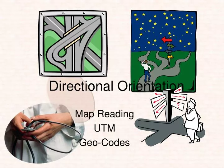
Directional Orientation Map Reading UTM Geo-Codes
Map Systems • Map Reading and UTMs Metric System • maps Ontario following a UTM grid • 4 Zones apply to Ontario • 6 degrees wide, 8 degrees of latitude • Easting and Northing are Longitude and Latitude like coordinates used in UTM
UTM - WHAT IS IT? • Universal Transverse Mercator • method of map reading • is universal and used internationally • no two UTM squares will have the same code • Therefore, ANY LOCATION can be found on a map by having the UTM code.
UTM - WHAT IS IT? A UTM is a series of lines that form a one square kilometer grid. The grid is drawn from the south to the north and from the west to the east. These lines are called Eastings and Northings. As most maps used by the Ministry of Health are gridded as 1 kilometre squares, there are larger maps which may be gridded to 5 or even 10 km squares.
UTM - EASTING The EASTING is the 3-digit number that is read from the map first. These numbers are located at the bottom or top of the map and are read from left (or west) to right (or east). Remember a top of the map is always north. 497 498 499 450 451 N 1 km 497 498 499 450 451 Easting
UTM - NORTHING The Northing is the 4-digit number that is read from the map last. These numbers are located on the sides of the map and are read from bottom (or south) to top (or north). 1 km 5150 5150 N 5149 5149 5148 5148 Northing 5147 5147
READING A UTM To obtain a UTM you must always read the Easting number first, then the Northing. Where those two lines meet in the bottom left corner of the square, that 7 digit number will be the UTM. Example: The blue box below is the location where we must find a UTM. 497 498 499 450 451 5150 5150 5149 5149 499 5148 5148 5148 Northing 5147 5147 497 498 499 450 451 Easting The UTM for everything within the blue box is - 499 5148
READING A UTM Lets try another example: Find the UTM for the blue dot below 497 498 499 450 451 498 5149 5150 5150 5149 5149 5148 5148 Northing 5147 5147 497 498 499 450 451 Easting The UTM for everything within the same box is - 498 5149
Ministry of Health MOH - Map Books At each CACC, GIS has created a series of large map books. These books show maps for the entire coverage area for the centre. Some centres may have more than one book. Each map is gridded with the UTM.
Typical MOH Map Page Map Page Number Adjoining Map Pages Easting Numbers Easting line Northing line Reference Grid Northing Numbers
Locate the following: Intersection of - LaSalle Bv & Elm St W - 497 5149 White Av - 498 5149 & 499 5149 Walnut St - 499 5148