Download
1 / 23
230 likes | 415 Views
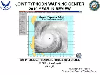
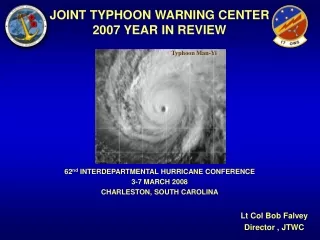
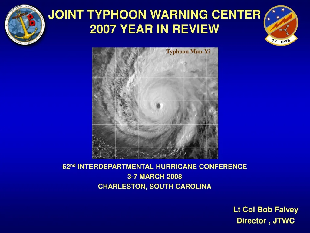
JOINT TYPHOON WARNING CENTER 2007 YEAR IN REVIEW. Typhoon Man-Yi. 62 nd INTERDEPARTMENTAL HURRICANE CONFERENCE 3-7 MARCH 2008 CHARLESTON, SOUTH CAROLINA. Lt Col Bob Falvey Director , JTWC. OVERVIEW. • Mission • Area of Responsibility • Satellite Recon • 2007 Cyclone Activity

E N D
JOINT TYPHOON WARNING CENTER 2007 YEAR IN REVIEW Typhoon Man-Yi 62ndINTERDEPARTMENTAL HURRICANE CONFERENCE 3-7 MARCH 2008 CHARLESTON, SOUTH CAROLINA Lt Col Bob Falvey Director , JTWC
OVERVIEW • Mission • Area of Responsibility • Satellite Recon • 2007 Cyclone Activity • Cyclone Tracks • Statistics • Coming in 2008 • Questions
MISSION Provide tropical cyclone forecast and warning support for Department of Defense, and other US Government assets in the Pacific and Indian Oceans as established by Commander, United States Pacific Command.
JTWC AOR Tokyo 33% CPHC NHC New Delhi 8% 17% Reunion Australia 13% Fiji 7% 11%
SATELLITE RECON FIXES BY AGENCY Total Satellite Fixes = 13,276 PGTW KGWC RJTD KNES 1771 PHFO 113 818 FMEE 8615 343 1260 NFFN 86 ABRF 94 ADRM 41 93 APRF DEMS 42
SATELLITE RECON MI FIXES BY JTWC Total Microwave Fixes = 4,435 AMSU 274 482 SSMI TRMM 1891 372 AMSR 459 SSMIS 957 WIND
SATELLITE RECON MI FIXES USING ATCF
TROPICAL CYCLONE ACTIVITY Arabian Sea & Bay of Bengal 2003: 3 2004: 2005: 7 2006: 5 2007: 6 25 Yr avg: 5 NW Pacific 2003: 27 2004: 2005: 25 2006: 26 2007: 27* 25 Yr avg: 31 C Pacific 2003: 2 2004: 2 2005: 1 2006: 4 2007: 2 25 Yr avg: 5 NE Pacific 2003: 16 2004: 16 2005: 16 2006: 21 2007: 15 25 Yr avg: 19 32 5 South Pacific 2003: 9 2004: 2 2005: 6 2006: 4 2007: 8 25 Yr avg: 6 S Indian Ocean & Australia Region 2003: 20 2004: 25 2005: 20 2006: 19 2007: 16 25 Yr avg: 23
JTWC TRACK ERRORS (WESTPAC - 24-72 Hours) 24 Hr 48 Hr 72 Hr 2003 72 127 182 2004 69 121 162 2005 63 104 169 2006 64 106 151 2007 61 100 147 Goal 50 100 150 500 24 Hour 5 Year Ave 48 Hour 5 Year Ave 450 72 Hour 5 Year Ave 400 350 300 Error (nm) 250 200 150 100 50 0 1974 1976 1978 1980 1982 1984 1986 1988 1990 Year 1992 1994 1996 1998 2000 2002 2004 2006
JTWC TRACK ERRORS (WESTPAC - 96-120 Hours) 450 96 Hour 5 Year Ave 120 Hour 5 Year Ave 400 350 300 Nautical Miles 250 200 150 96 Hr 120 Hr 2003 242 305 2004 206 275 2005 212 263 2006 216 309 2007 187 214 Goal 200 250 Experimental Officially Implemented 100 50 0 2000 2001 2002 2003 2004 2005 2006 2007 Year
JTWC TRACK ERRORS (CROSS TRACK VS ALONG TRACK) CROSS TRACK (Direction) 250.0 2002 2003 2004 2005 2006 2007 225.0 200.0 175.0 150.0 Error (nm) 125.0 100.0 75.0 50.0 ALONG TRACK (Speed) 25.0 250.0 2002 2003 2004 2005 2006 2007 0.0 225.0 12 24 36 48 72 96 120 200.0 Forecast TAU 175.0 150.0 Error (nm) 125.0 100.0 75.0 50.0 25.0 0.0 12 24 36 48 72 96 120 Forecast TAU
2007 MODEL ERRORS (WESTPAC – Non-Homogeneous) 400 350 AFWI AVNI 300 COWI EGRI 250 ECMI Error (nm) 200 GFNI JGSI 150 JTYI NGPI 100 CONW JTWC 50 0 0 12 24 36 48 72 96 120 Tau
2007 MESO MODEL ERRORS (WESTPAC - Homogeneous) 250 200 AFWI 150 COWI Error (nm) GFNI CONW 100 JTWC 50 0 0 12 (269) 24 (236) 36 (202) 48 (170) 72 (34) (Cases) (289) Tau
2007 GLOBAL MODEL ERRORS (WESTPAC - Homogeneous) 300 250 200 Error (nm) AVNI EGRI ECMI 150 NGPI CONW JTWC 100 50 0 0 12 24 36 48 (75) 72 (55) 96 (31) 120 (15) (86) (115) (Cases) (111) (93) Tau
JTWC INTENSITY ERRORS (WESTPAC 24-72 Hours) 35.0 24 HR 48 HR 72 HR 30.0 25.0 20.0 Error (kts) 15.0 10.0 24 Hr 48 Hr 72 Hr 2003 11 16 19 2004 11 17 21 2005 12 18 24 2006 13 17 20 2007 13 18 20 5.0 0.0 1987 1988 1989 1990 1991 1992 1993 1994 1995 1996 1997 1998 1999 2000 2001 2002 2003 2004 2005 2006 2007 Year
JTWC INTENSITY ERRORS (WESTPAC 96-120 Hours) 35.0 96 Hr 120 Hr 30.0 25.0 Error (kts) 20.0 15.0 96 Hr 120 Hr 2003 21 19 2004 23 26 2005 25 25 2006 22 24 2007 24 26 10.0 5.0 0.0 2000 2001 2002 2003 2004 2005 2006 2007 Year
COMING IN 2008 • USAF Civilianization (Update) • MARK IVB Continuation • Fix Bulletin Changes (Unified DoD/NOAA format, additional MANOPs, on website) • T-PARC & TCS-08 Participation • All Western North Pacific Warnings to 120 Hours • All Northern Indian Ocean Warnings to 72 Hours with 6-hourly Updates • Intensity Error Goals
INTENSITY ERROR GOALS Standard Intensity Goals TAU 24 48 72 96 120 Goal 5 10 15 20 20 • • Standard goals are OK but… Assumption: A large intensity error on a weak/developing cyclone is worse than on a strong cyclone How to determine forecast intensity accuracy relative to cyclone strength? – Normalize by TAU 00 intensity • Absolute Intensity Normalized Error Intensity = ------------- Error TAU 00 Intensity
NORMALIZED INTENSITY ERROR Absolute Intensity Normalized Error Intensity = ------------- Error TAU 00 Intensity Example: 35 knot cyclone with a 10, 35, and 50 knot error compared to a 90 knot cyclone with same errors 10 ---- = 0.11 90 35 ---- = 0.39 90 50 ---- = 0.56 90 10 ---- = 0.29 35 35 ---- = 1.00 35 50 ---- = 1.43 35 TAU Goal 24 0.20 48 0.25 72 0.30 96 0.35 120 0.40
Contact Info • Director: robert.falvey@navy.(smil).mil COM: (808) 474-5301 DSN: (315) 474-5301 • JT Ops Officer (JTOPS): michael.vancas@navy.(smil).mil COM: (808) 471-4597 DSN: (315) 471-4597