Download
1 / 30
310 likes | 500 Views
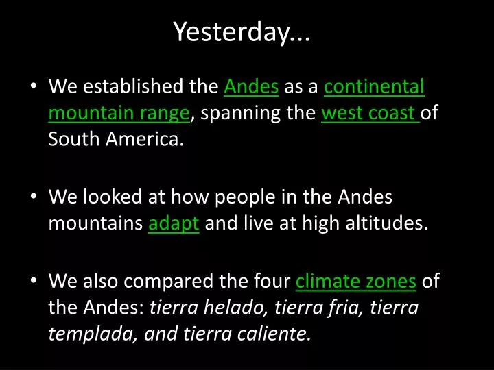
Yesterday... . We established the Andes as a continental mountain range , spanning the west coast of South America. We looked at how people in the Andes mountains adapt and live at high altitudes.

E N D
Yesterday... • We established the Andes as a continental mountain range, spanning the west coast of South America. • We looked at how people in the Andes mountains adapt and live at high altitudes. • We also compared the four climate zonesof the Andes: tierrahelado, tierrafria, tierratemplada, and tierracaliente.
YESTERDAY’s Geo-Question: What are the different climate zonesof the Andes mountains? How does each affect life?
Today’s Geo-Question: How do people adapt to living in a mountainous region? What are some unique features of the Andes Mountains?
La Paz, Bolivia: Mountain City • La Paz is the highest big city in the world. It is located at 12,000 feet in the heart of the Andes Mountains.
Some More Flash Facts • The Andes are the longest mountain range in the world, running the length of South America’s western coast. • They’re also the second highest, next to the Himalayas. • Lake Titicaca is the largest fresh water lake in South America.
Getting deeper into the question:How do people economicallyadapt to living in a mountainousregion? Turn and talk.
One way economic adaptation: Vertical trade • vertical trading: the trading of crops between lowland and highland areas. • But who trades what and why?
Commercial Crops in the Andes • Tierra Helada: Quinoa, potatoes. Few other crops. • Tierra Fria: wheat, barley, corn, apples, and pears. (terracing) • Tierra Templada: bananas, oranges (low levels); corn, beans. Main crop: coffee. • Tierra Caliente: sugar cane, bananas, rice, oranges, tomatoes.
Where is the snow line in the Andes? • At the upper edge of the tierrahelado(the top elevation zone), is the snow line of the Andes. • The snow lineis where permanent ice and snow begin. Above this level, snow stays on the ground year-round.
Vertical trading: BOTTOM UP • Lowland farmerstrade bananas, oranges, and tomatoes up the mountains to the highland areas. • Remember, at the top of the mountain, they can’t grow these things due to the climate.
Vertical trading: TOP DOWN • In contrast, highland farmers trade potatoes and wheat down the mountain to the lowland areas. • Remember, due to the incline, these crops are grown on terraces.
On another note: Into thin air… • Low elevations have denser air than higher elevations; there’s more oxygen in the air. • Why? Gravity pulls air in the atmosphere down toward Earth. • The denser the air, the more heat the air can hold. As you move higher, the air thins and holds less heat. For every 1000 ft. rise in elevation, there’s an average 3.5°F decrease in temperature.
How are humans changing the Amazon rainforest? What are the consequences?
Tropical Rainforest Levels: Floor, Lower story, & Canopy • tropical rainforest
Cause and effect • Clear-cutting the rainforest is leading to a significant loss of biodiversity.
Why is the rainforest essential to the world? • It gives us air (oxygen)!... • carbon-oxygen cycle:the process by which carbon and oxygen cycle (transfer back and forth) between plants, people and animals, and the environment. Think photosynthesis & respiration.
There are many perspectives on the land use conflict in the Amazon. • Geoterms – know definition and understand relevance. • Amazon perspectives. • Andes climate zones and adaptations. • Location of major landforms in South America: Andes Mts., Amazon Basin, Amazon River, Patagonia.
Perspectives Review Activity • Match the statements to the Amazonian group! If you finish early, choose the two groups that you most agree with and write two more statements that would match.
Quiz Friday • Geoterms – know definition and understand relevance. • Amazon perspectives. • Andes climate zones and adaptations. • Location of major landforms in South America: Andes Mts., Amazon Basin, Amazon River, Patagonia.