Download
1 / 36
360 likes | 498 Views
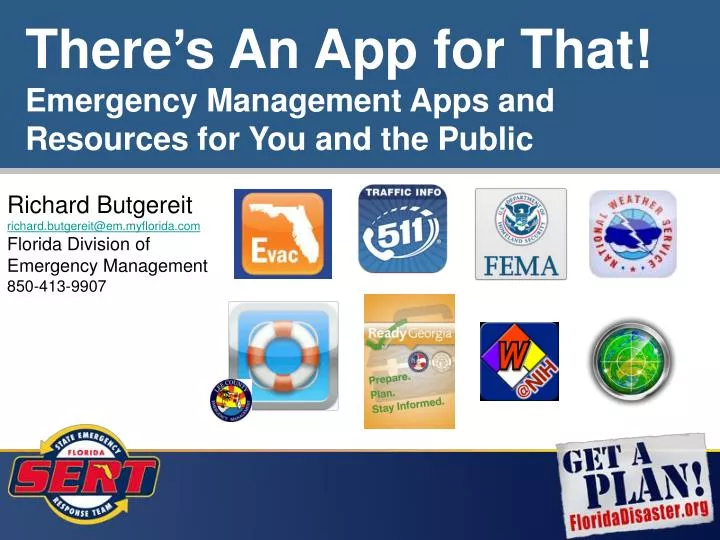
There’s An App for That! Emergency Management Apps and Resources for You and the Public. http://floridaevacuates.com/locator. Richard Butgereit richard.butgereit@em.myflorida.com Florida Division of Emergency Management 850-413-9907. Disclaimer.

E N D
There’s An App for That! Emergency Management Apps and Resources for You and the Public • http://floridaevacuates.com/locator Richard Butgereit richard.butgereit@em.myflorida.com Florida Division of Emergency Management 850-413-9907
Disclaimer • The materials presented herein are provided "as is" and without warranties of any kind, express or implied. To the fullest extent permissible pursuant to applicable law, THE STATE OF FLORIDA and the Division disclaims all warranties, express or implied, including, but not limited to, implied warranties of merchantability and fitness for a particular purpose. THE STATE OF FLORIDA and Division does not warrant that the functions contained in the materials will be uninterrupted or error-free, that defects will be corrected, or that applications or the servers that make them available are free of viruses or other harmful components. THE STATE OF FLORIDA and the Division does not warrant or make any representations regarding the use or the results or the use of the materials in terms or their correctness, accuracy, reliability, or otherwise. You (and not THE STATE OF FLORIDA and Division) assume the entire cost of all necessary servicing, repair, or correction. Applicable law may not allow the exclusion of implied warranties, so the above exclusion may not apply to you.
Definitions • App – downloadable, installable, executable application • App store – your smart phone providers app store • Android devices – Google Play • Apple devices - iTunes • Blackberry devices – Blackberry Market • Windows Mobile devices – Windows market
Definitions (continued) • iOS – operating system for iPhone, iPad, & iPod Touch • Mobile accessible - not necessarily an app, but accessible, useable via mobile devices • Navigator – a navigation app; some apps present the user locations (based upon address) & passes that address to a navigation app, which then opens to provide driving directions
Categories for Apps • Emergency Management specific • Florida specific • Weather • Mapping
Qualifications • Free (mostly) • Good (as judged by me) • Tested on primarily on Android (very little on Blackberry, not at all on iOS really) • Avoided social media, earthquakes • Multi-platform support a plus, but not required • Most importantly, I know about it…
Key Apple iOS – iPhone, iPad, iPod Touch Android Blackberry Windows Market Mobile accessible Costs money $$$
find open shelters (from the Red Cross National Shelter System) within the State of Florida identify closet open shelter using phone’s GPS and/or searching by address, city, zip, or coordinates and obtain driving directions FloridaEvacuates.com
Geolocation works on desktop and laptop computers too During emergencies, integration of hotel availability in partnership with VisitFlorida.com FloridaEvacuates.com
The FEMA App contains disaster safety tips, interactive lists for storing your emergency kit, emergency meeting location information, and a map with shelters and FEMA Disaster Recovery Centers (DRCs). The app is free to download through your smart phone provider’s app store. FEMA
Doesn’t use your phone’s GPS to do anything (shelters or DRCs search) Map view doesn’t include driving directions (to shelters or DRCs) But List view does (opens Navigator on phone) FEMA
Pretty much the same information as through the app… No shelter search, yes to DRC search (but not map or list based) m.fema.gov
m.fema.gov Stripped down, light- weight version of full website
Disaster Alert Pacific Disaster Center’s World Disasters Alerts • Worldwide in nature • -Hurricane/Tropical Cyclone (global)-Drought (global)-Earthquake (global)-Flood (global)-National Weather Service High Surf (for Hawaii)-National Weather Service High Wind (for Hawaii)-National Weather Service Flood (for Hawaii)-Manmade (global)-Marine (global)-Storm (global)-Tsunami (global)-Volcano (global)
Florida 511 Florida 511 is a new application that provides users with fast and friendly traffic updates in their vicinity. The app offers text and audio updates on congestion, incidents, construction and more. Users can get information in their area, along a personalized route or in most Florida cities or metro areas. All Florida 511 traffic data is provided by the Florida Department of Transportation.
Florida 511 Follow Twitter feeds for specific regions and/or roads…
LeeEvac Use LeeEvac to find your hurricane evacuation zone in Lee County, Florida, before a hurricane strikes!Use your current GPS location, tap on the map, or search for an address within Lee County to see if you are in an active evacuation zone, at any time! If an evacuation is ordered for your area, instructions on how to find additional information will be provided.
Ready Georgia The Ready Georgia mobile app, created by the Georgia Emergency Management Agency and the Georgia Department of Public Health, is an interactive tool that makes it easier than ever to be prepared for emergencies. The app includes robust features not previously available in one mobile application.
WebWISER Wireless Information System for Emergency Responders • designed to assist first responders in hazardous material incidents • provides a wide range of information on hazardous substances, including substance identification support, physical characteristics, human health information, and containment and suppression advice
FloodWatch FloodWatch allows users to monitor rivers and streams throughout the United States.By leveraging data from the US Geological Survey and National Weather Service, FloodWatch presents the most recent and historical river heights, precipitation totals, and flood stage data. Graphs are available to help you visualize the rise and fall of the river.
FloodMap FloodMap™ Mobile delivers powerful information to your iPhone, iPad, and iPod Touch making you aware of your risks and enabling you to take the proper action to make your family and your property safe. $$$
Weather • Numerous great weather apps exist… • AccuWeather • The Weather Channel • WeatherBug • WeatherUnderground • many, many more… $$$
Radar Now! Use "Radar Now" to quickly see an animated radar image and current conditions! No digging through menus to see if a storm is on the way!"Radar Now!" provides National Weather Service (NWS) Enhanced Radar "Base" (N0R) images from the NOAA WSR-88D NEXRAD Radar sites located around the US. Radar images are downloaded directly from NWS servers so are always the most current available. When you start the app, the radar images are from the site closest to your location.
National Weather Service http://mobile.weather.gov Provides weather, hydrologic, and climate forecasts and warnings for the United States, its territories, adjacent waters and ocean areas, for the protection of life and property and the enhancement of the national economy. NWS data and products form a national information database and infrastructure which can be used by other governmental agencies, the private sector, the public, and the global community.
National Hurricane Center • http://www.nhc.noaa.gov/mobile The NHC mission is to save lives, mitigate property loss, and improve economic efficiency by issuing the best watches, warnings, forecasts, and analyses of hazardous tropical weather and by increasing understanding of these hazards. The NHC vision is to be America’s calm, clear, and trusted voice in the eye of the storm and, with its partners, enable communities to be safe from tropical weather threats.
iNWS • http://inws.wrh.noaa.gov
iNWS • http://inws.wrh.noaa.gov PLEASE NOTE:iNWS is intended for members of community emergency planning and response management (i.e. emergency managers, law enforcement, fire and emergency responders, transportation and safety managers, public officials), Skywarn Net Control operators, government partners of NWS offices, and members of the electronic media. Do not register if you do not fit this description.
iNWS • http://inws.wrh.noaa.gov
Grid Nav Free MRGS Utility • Grid Nav allows you to obtain GPS location data in multiple formats – • Latitude/Longitude • Military Grid Reference System** • ** functionally equivalent to US National Grid
http://map.floridadisaster.org/GATOR Geospatial Assessment Tool for Operations and Response web mapping application real-time data like weather radar, watches, storm reports base map, event, and post-event data GATOR
ArcGIS ArcGIS is a great way to discover and use maps. Maps come to life in ArcGIS. Tap on the map or use your current location and discover information about what you see. You can query the map, search and find interesting information, measure distances and areas of interest and share maps with others.