Download
1 / 9
90 likes | 187 Views
ICT for Earth Observation Anwar Vahed. Integrated Risk Management Components in the GEO Architecture Implementation Pilot Phase 2 (AIP-2). Topics. Goals Components and services Floods Fire Integration of DA-07-04 resources Sensor Web technologies Testing and validation. Objective.

E N D
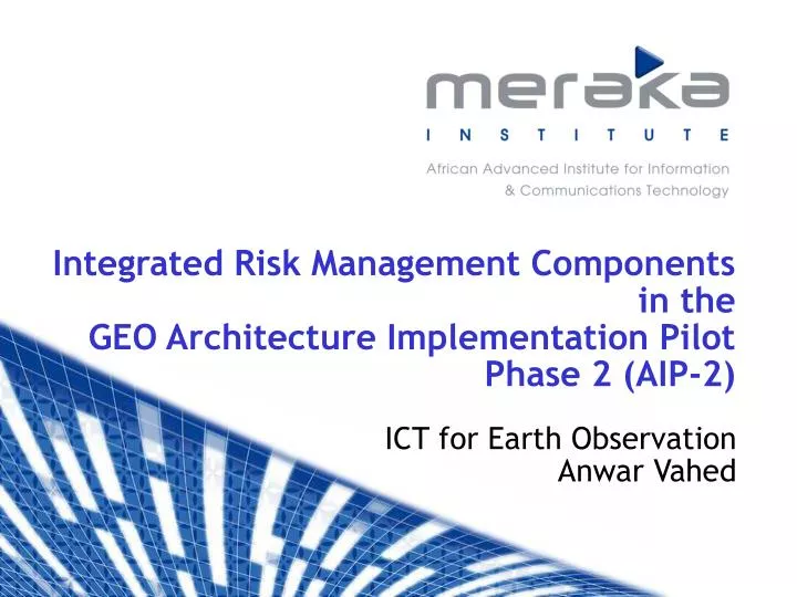
ICT for Earth Observation Anwar Vahed Integrated Risk Management Componentsin theGEO Architecture Implementation PilotPhase 2 (AIP-2)
Topics Goals Components and services Floods Fire Integration of DA-07-04 resources Sensor Web technologies Testing and validation
Objective • To provide effective access to information… • for early warning/alert, response and monitoring in the case of… • the occurrence of floods and wild fire… • … using existing GEOSS, or future services and components tools
Goals • Demonstrate capacity of standardized interoperable information and communication technology solutions to effectively mitigate disaster risks and to manage disaster scenarios • Foster partnerships with entities having like goals and/or resources, e.g., NASA/GSFC Sensor Web, Ukraine • Develop a supra-national disaster management pilot using GEOSS resources and create solutions that are as universal as possible • Contribute (primarily) to Disasters SBA through provision of components, services and data sets. Other SBAs (Health, Agriculture) will also benefit. • Show real life applicability of results through trial and validation activities
Components and Services • Focus: • Floods: Early warning (FEWS) and response • Fire: Alert and response • Analyze the Initial Operating Capability of GEOSS towards usability in developing countries: • Explore extent to which GEOSS and other resources can be integrated with local resources and how results can be fed back into GEOSS as higher value components and services • Cooperate with partners (EU, NASA, Ukraine,…?) for resources
Wildfirescenario Internet CSE Desertification 6
Floods Internet Effectiveflood warning needs frequent (near-daily) radar observation through cloud cover. Require both optical and radar wavelengths Accurate mapping of flooded lands needs Cal\Val! Can use radar scatterometer data from QuikSCAT. Also, MODIS and RADARSAT FLOODS UTICT
Steps • Identify/confirm major needs to implement targeted scenarios • Develop service oriented architecture: IRMA • Identify existing GEOSS services and integrate DA-07-04 resources • Test trials, validation and demo • Feed results back to GEOSS and rationalise for universal use in SBAs
AIP2 Use activities in DA-07-04 in AIP Cooperation with NASA, Ukraine & others DA-07-04 IRMA Fire OpenAFIS Workshop 2009 Floods FEWS Tests and validation • Sensor Web for Disaster Management & GEOSS