Download
1 / 29
290 likes | 404 Views
Selection and Analysis of Potential Ski Resort Sites in Camas County, Idaho. Charlotte Cain GIS 205 May 2009. Study Criteria. Areas with slopes of Beginning, Intermediate, Advance and Expert Slopes in a large contiguous area Area with high annual precipitation

E N D
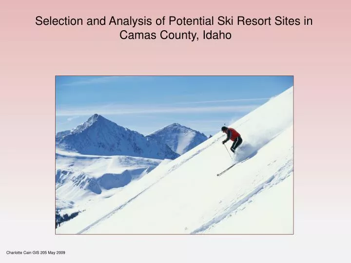
Selection and Analysis of Potential Ski Resort Sites in Camas County, Idaho Charlotte Cain GIS 205 May 2009
Study Criteria • Areas with slopes of Beginning, Intermediate, Advance and Expert • Slopes in a large contiguous area • Area with high annual precipitation • Areas of low sun exposure during ski • Areas within 1 mile of a major road C Cain May 2009
DATA GATHERED • 10 meter NED elevation raster for area surrounding Camas County, Idaho in 5 sections • GCS North American 1983 • Isohyetshapefile - Precipitation for Idaho; Mean Annual (1961-1990) • GCS North American 1983 • IDTM83 (projected) • County Boundaries 2000 for Camas County, Idaho - TIGER/Line file shapefile • GCS North American 1983 • Roads for Camas County, Idaho 2000 TIGER/Line shapefile • GCS North American 1983 • Sun Azimuth and Altitude data for November through April for Ketchum, Idaho • Idaho Cities • GCS North American 1927 C Cain May 2009
PROJECTION • The elevation rasters were combined using mosaic tool and projected into NAD 1983 UTM zone 11N • Raster data was extracted by mask to county environs • Idaho Cities Required datum transformation from NAD 1927 into NAD1983 before projecting • All other spatial data was projected into NAD 1983 UTM zone 11N and clipped to county environs C Cain May 2009
WORKING MODEL USED FOR ANALYSIS C Cain May 2009
Workflow • Use Sun Azimuth and Altitude data for November – April to calculate hill shade raster • Perform hillshade for each month • Use cell statistics to construct mean exposure raster • Select areas with exposure value of 100 and less • Convert precipitation contour shapefile into raster • Perform Single Output Map Algebra function to construct a raster of sun exposure under 100 and precipitation over 35cm annually C Cain May 2009
Workflow • Select areas that intersect a buffer of 1 mile around major roads • Select areas greater than 4 sq km (988 sq acres) • Convert Elevation raster into a slope raster and reclassify • into four slope values • Beginner slope 3-15 % • Intermediate Slope 15 – 25% • Advanced Slope 25 – 35 % • Expert Slope 35 – 45 % • Perform Single Output Map Algebra to select areas with desired slopes
Results • Four sites have similar proportions of slopes • Sites 1,3 and 5 are near each other at Two Point Mountain • -have existing hiking trails • Site 4 is near Paradise Peak • -has enough area to be two resorts • - may be good for combining facilities and offering variety to skiers • Site 6 has no expert slopes • -May be desirable if other tourist attractions are nearby • -is only one near a city and having access to local staff
Site 5 C Cain May 2009
Suggestions for Improvement • Obtain more recent precipitation data preferably annual snow fall • Perform a nearby watershed analysis to aid in manufacturing snow • Analyze individual slope areas within a site to see if runs are continuous • Field trip to ground proof selection criteria
Websites of Interest http://ned.usgs.gov/ http://data.insideidaho.org/data/ICS/archive/ppt_id)ics.tgz http://data.insideidaho.org/data/uscb/TIGER2000/archive/camas/roads_camas_uscb.tgz http://www.usno.navy.mil/USNO/astronomical-applications/data-services/alt-az/page-1?searchterm=azimuth http://www.wrcc.dri.edu/summary/climsmid.html http://www.hixoxih.com/skiing/SkiSlopeRatingSystem.htm
Slope Analysis for Each Site C Cain May 2009