Download
1 / 21
210 likes | 309 Views
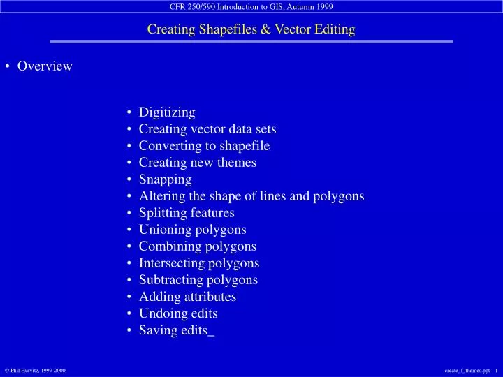
Overview. Digitizing Creating vector data sets Converting to shapefile Creating new themes Snapping Altering the shape of lines and polygons Splitting features Unioning polygons Combining polygons Intersecting polygons Subtracting polygons Adding attributes Undoing edits

E N D
Overview Digitizing Creating vector data sets Converting to shapefile Creating new themes Snapping Altering the shape of lines and polygons Splitting features Unioning polygons Combining polygons Intersecting polygons Subtracting polygons Adding attributes Undoing edits Saving edits_
Digitizing most common “legacy” method of getting data into a GIS tedious & detail-oriented work
Creating vector data sets • ArcView supports creation of vector data sets • Point • Line • Polygon • Complete creation & editing of data sets is supported • Coordinate data • Attribute data
Converting to shapefile Any supported vector data set can be converted to shapefile
Converting to shapefile Selected sets are converted
Creating new themes New themes can be created from scratch
general snap tolerance interactive snap tolerance • Snapping
Snapping options Snap to an existing vertex Snap to an existing line segment or polygon edge Snap to an intersection of two or more lines Snap to an existing line endpoint
Splitting features • Coordinate features (lines & polygons) are split • Attributes are handled by rules • Blank: values in new records are left blank • Copy: values in new records are copied from the parent record • Proportion: numeric values are proportional to the original area or length • Shape Area: values are the areas of the new polygons • Shape Perimeter: values are the perimeters of the new polygons • Shape Length: values are the lengths of the new lines
Splitting lines create a line select erroneouslines split the line delete erroneouslines
Unioning polygons Multiple features are merged into one Attributes are handled by rules
Undoing edits Edits are undone in reverse order Edits can be undone until the last save (or creation) Once a theme’s changes are saved, edits cannot be undone
Saving edits • Save EARLY and OFTEN • Edits are saved when: • Theme is closed for editing • Another theme is opened for editing • Project is saved or closed • ArcView is closed